- Home
- The region
- Agriculture
- Localisation of the fields
An unfavorable farming environment
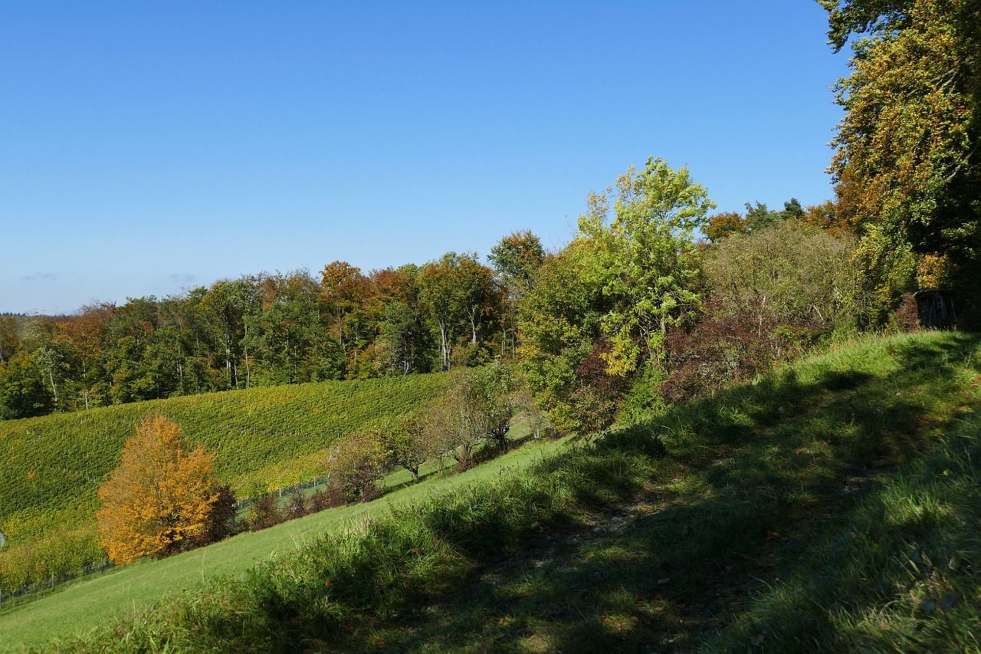
Today, if we look at the fields currently used for cereal cultivation near the lake, it appears that the distance between the Neolithic villages and possible agricultural zones was not that important: a few hundred meters at most.
In reality, the situation during Neolithic was very different. Systematic programs of core sampling carried out in the Chalain basin have shown that the fertile fields around the lake only appeared at the end of the Bronze Age. In the Neolithic era, the vicinity of the lakes was covered with marly soil produced by sedimentation and glacial erosion.
Alternatively waterlogged or too dry, land like this was good only for producing a very light forest cover, essentially composed of small trees and shrubs. In any case, cereal cultivation would have been impossible.
This clearly shows that the fields were some distance from the lakeshore villages.
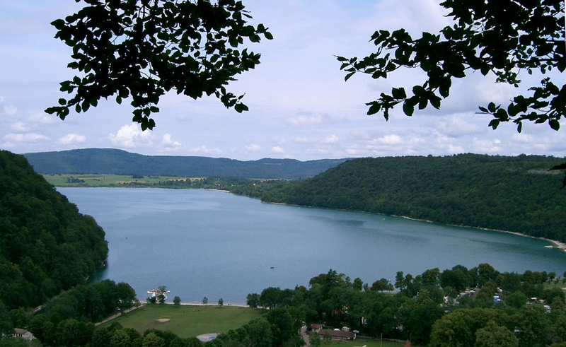
Lake Chalain and the edge of the limestone plateau.
Fields far from the villages
Consequently, good land for growing cereals had to be sought elsewhere than in the damp lake basins of Chalain and Clairvaux.
The high terrace of the Ain—a narrow strip of alluvial and glacial lacustrine soil that runs along the western slope of the Champagnole plateau—contains the best land for cultivating cereals. The well-drained soil was enriched by fine clays and organic material coming from the forest growing on the limestone slopes.
The lakeshore villages were not located in the center of farmland spread equally around the lake, but in positions from which the houses and granaries could be defended. In exchange for this defensive choice, they had to walk at least an hour to reach the far-off fields. The forest was temporarily cleared for farming, until weeds and stump’s shoots interfered with the growth of new crops, and the fields were abandoned.

