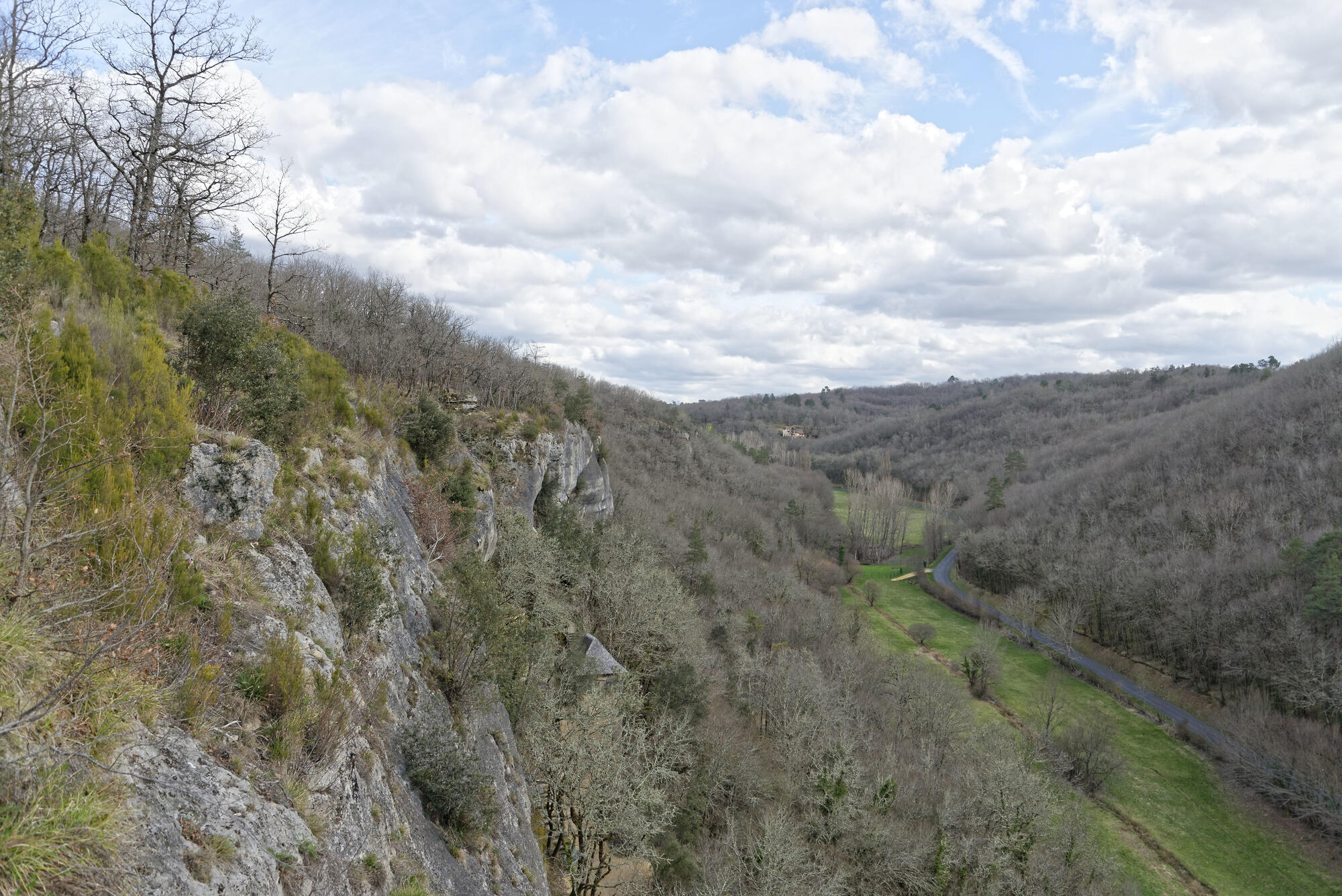

Geography of the Magdalenian period in south-west France
At the end of the Last Glacial Maximum, the great glaciers that covered part of northern Europe and the mountains began to melt. As a result, the sea level rose by an estimated 20 metres between the beginning and end of the Magdalenian period. The area inhabited by animal populations changed as a result, with new territories to the south of the ice cap and in the valleys of the mountain ranges opening up, while land along the Atlantic seaboard disappeared.
The Magdalenian period represents, for the Upper Palaeolithic, a period in which the number of sites in the plains and foothills increased, suggesting that people began to inhabit areas at further latitudes and higher altitudes. The geographical area occupied during the Magdalenian period underwent phases of expansion and contraction between the Iberian Peninsula and Poland. This new human geography, which took place in an evolving space, may be partly the result of demographic growth in hunter-gatherer populations. The proposed increase in the biomass of steppe-dwelling ungulates in the Older Dryas and early Bølling periods in the south-west provided favourable conditions for an increase in predator populations, including humans. This growth and the opening up of new spaces accelerated the spread of technical innovations and objects via a large network of social interactions. At the same time, the regionalisation of certain categories of objects, such as hunting weapons, or artistic practices, could reflect a territorial anchoring of human groups.
Associated media
Open Media Library