- Home
- Megalithism in Morbihan
- Carnac
- The Carnac Area
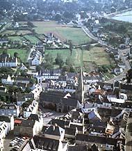
Aerial view of the town of Carnac. The first houses of Carnac-plage and the old salinas -nowadays flooded- can be seen in the background.
Carnac covers 3,271 hectares along the coast of Quiberon Bay, between La Trinité-Sur-Mer and Plouharnel, the neighbouring communes. It also stretches far back into the hinterland and borders Ploemel and Erdeven.
The subsoil mainly consists of what geologists call "Carnac granite". It is a pleasant, lightly coloured, slightly laminated rock. Massive tabular blocks were broken off due to erosion and were perfect suited for building megalithic monuments.
The area is generally low-lying but gently undulated and is dotted with many small knolls usually bearing a name with a Mané affix - found in many of the names of famous monuments in the area. Overlooking the landscape and offering the best outcrops, these knolls attracted megalith builders.
Though modest in size and height, the knolls rise above low-lying areas which become marshy in winter. However, drainage was certainly easier during the Neolithic, as the sea level was lower than it is today by several metres.
The Carnac area can be divided into three natural parts.
- Along the coast, (foreshores, beaches, dune ridges and tidal marshes), the boundary between sea and land constantly shifted until the salt marshes (which made Carnac's fortune) and much later the seaside resort at Carnac-plage established a clear separation. "At the mercy of the sea", the area has undergone many changes since prehistoric times.
- The town of Carnac itself lies directly behind, on granite bedrock with substantial "bulges" (like the one on which the Saint-Michel Tumulus is built). This area rises slightly at the edges, very slightly to the West but more noticeably to the East.
- The hinterland starts on a kind of natural balcony along which the famous "alignments" were set. Long ago, it must have been a shore line, perhaps underlining a fault line.
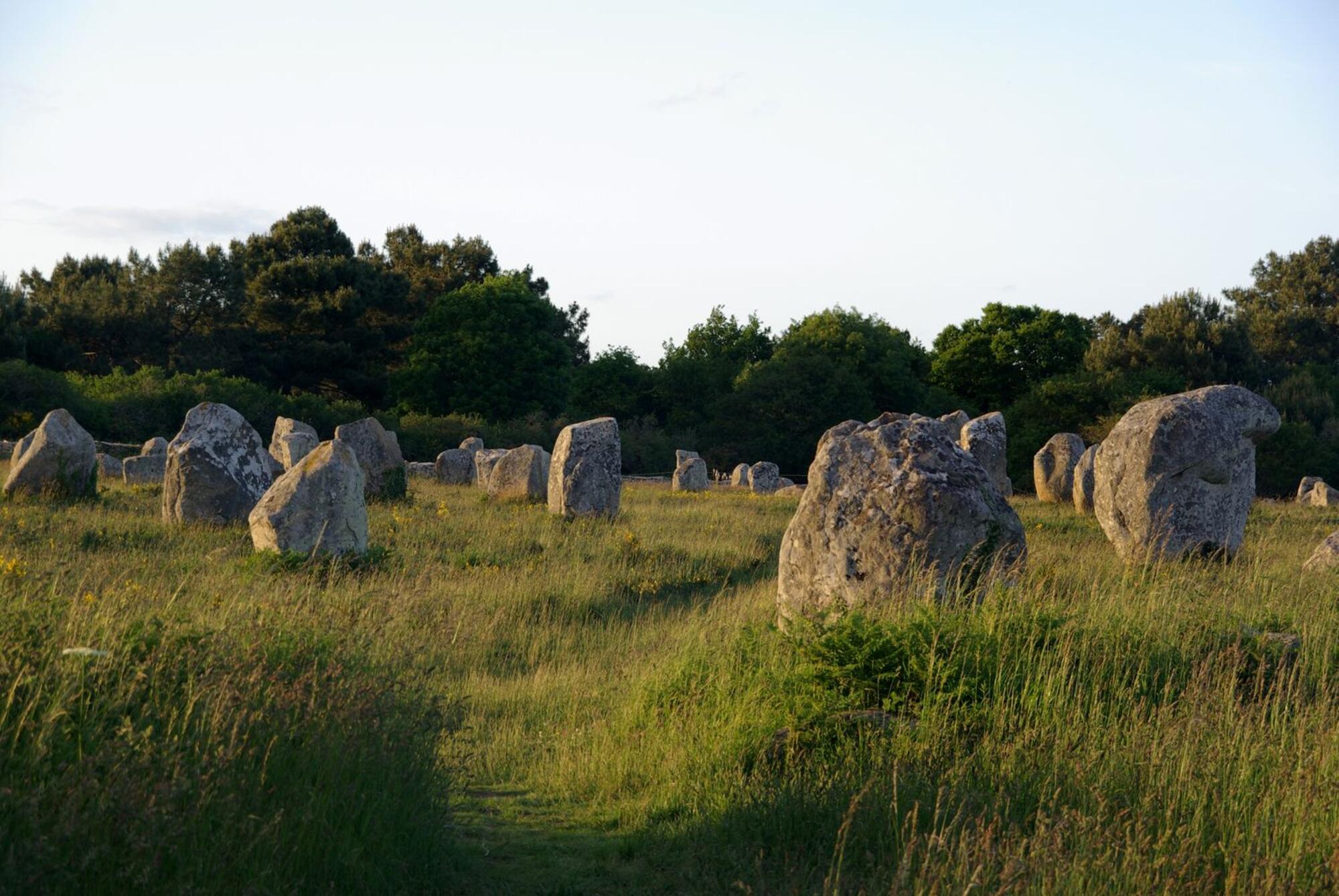
Panoramic view of the Menec alignments,as it would have looked before the area became wooded or built up.


