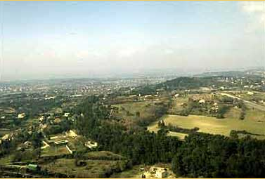
The oppidum of Entremont, seen from the east. It occupies a dominating position on the edge of the Puyricard plateau between two valleys.
In its course toward Berre Pond, the Arc valley crosses the large depression of the Aix basin. The left bank of the river thus follows abrupt hillsides (the Montaiguet), while the more open right bank follows the slopes of the Puyricard plateau. This plateau rises in the north to form the small Trévaresse mountain chain that dominates the Durance valley.
This wide, westerly inclined plateau opens to the Touloubre valley, which runs parallel to the Arc valley and also leads to Berre pond. The oppidum of Entremont was constructed on the southern edge of this plateau, between the two valleys, at a point where a depression (later called Intermontes) allows the passage of a road toward the north and the Durance.
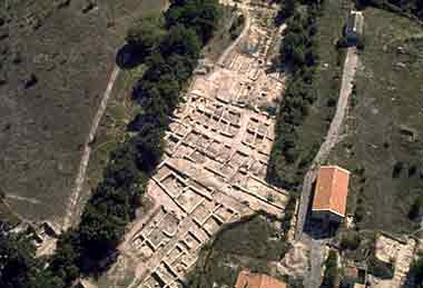
The territory directly controlled by the oppidum thus covered the Arc valley (Luynes and Milles plains) and the Puyricard plateau. It included the multiple hot springs located 3 km to the south where, according to ancient sources, C. Sextius Calvinus founded Aix-en-Provence in 122 BC. Five hundred meters south of the springs, a ritual pit filled with broken Italian amphorae and other objects provides chronological evidence closely corresponding to the Roman foundation of Aix-en-Provence.

The oppidum towards the east
The oppidum towards the east
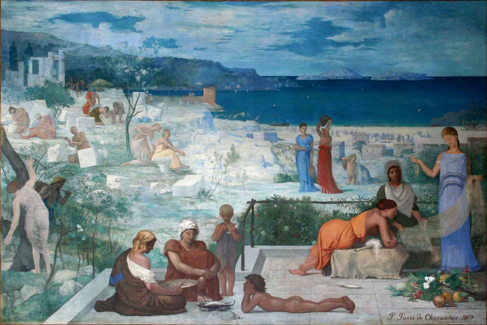
What is an oppidum?
For Cesar, this name designated one of the forms of grouped habits that he encountered during his conquest of Gaul. He first employed the expression during the siege of Avaricum (Bourges). For archaeologists, the term signifies grouped, fortified habitats constructed on a plain or high location, usually dating from the second Iron Age.