
Three-dimensional computer graphics, a technique used to produce a faithful replica of a given object’s shape and volume are, today, used extensively in underwater archaeology.
From photogrammetry...
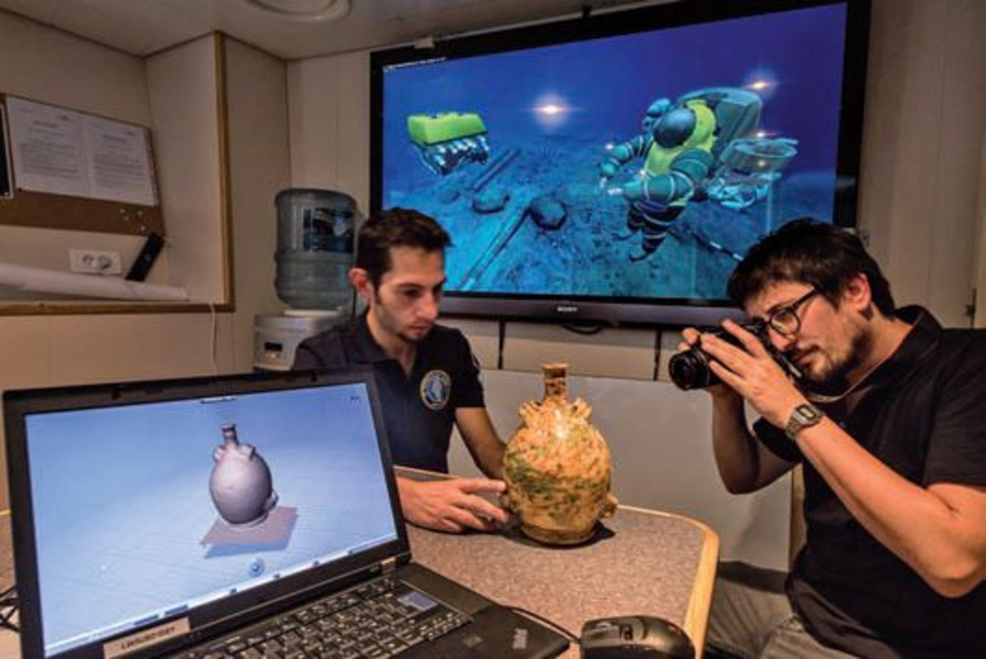
Since the first photogrammetric survey in 1849 the technique has progressed beyond recognition but the general principle remains the same: obtain information on the shape and dimensions of a given object by taking a large number of photographs which can then be used to generate, to scale, a general view in three dimensions. The resulting graphic model can then be manipulated to enable researchers to study it from every angle. Relief is created by stereoscopy, in the same way that our eyes each see a slightly different image of the same object to gauge volume. Underwater devices (ROVs) are now able to acquire the necessary images autonomously, an innovation driving the development of photogrammetry on deep-water archaeological deposits.
...to 3D modelling
Photogrammetric surveys generate thousands of data points. Using reference points visible in the photos, these data points are assembled and saved. The result is a points file which binds the coordinates in the images to those in the real world. Specialist software is then used to process the data in order to generate a graphic model in three dimensions. The greater the number of data points, the more accurate the 3D model.


