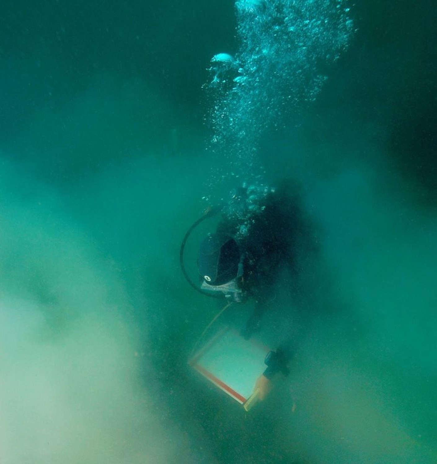

In order to locate the ship's remains spatially, researchers initially decided to use a flexible grid system, consisting of polypropylene halyards stretched between steel reinforcement bars. Each square in the grid measured 3 x 3 metres. The x-axis of the grid was assigned letters, while the y-axis was numbered.
In 2003, due to the currents and the intertwined and uneven topography and structures of the wrecks, the team switched to a rigid grid. It had a modular, adjustable-height framework that was easy to install. It was resistant to both currents and the weight of seaweed, and allowed researchers to create architectural cross-sections and measure the wrecks' elevations. This framework, made of aluminium and stainless steel, was inspired by a model that had been used for many years by underwater archaeologists working for Parks Canada, a Canadian government organisation. However, it differed from its predecessor in several respects, including the size of its squares (3 x 3m, instead of 2 x 2m) and its extra sturdiness in order to resist the exceptionally strong currents. It was manufactured at Saint-Malo in the spring of 2003 by Atelier Polyvalent Plaisance, and was fitted with measurement tapes attached to its horizontal elements and removable feet.


