Filtres - 197/260 Selected medias
-

-
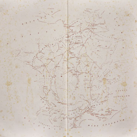
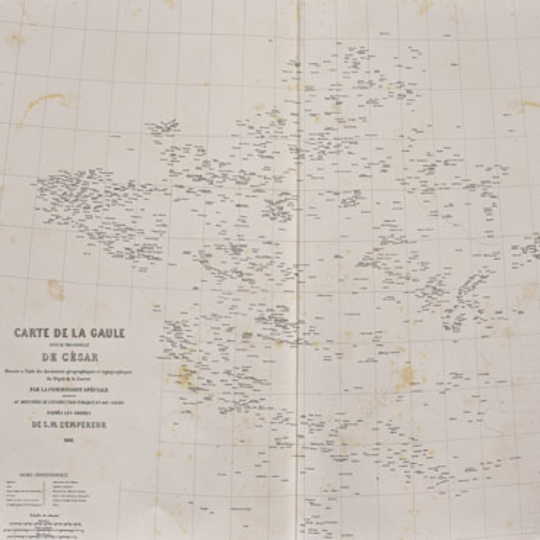
Base map with Gallic tribes, 1860-1861
-
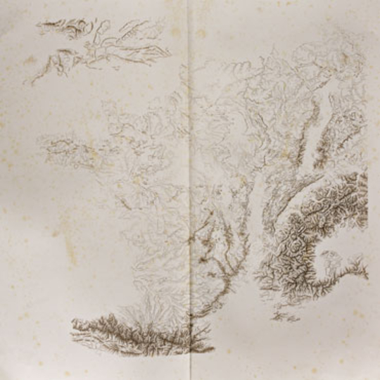
Base map with relief, 1860-1861
-
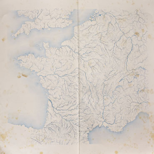
Base map with rivers, 1860-1861
-
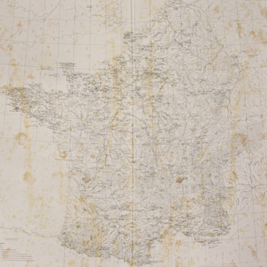
Base map of localities and archaeological sites, 1860-1861
-
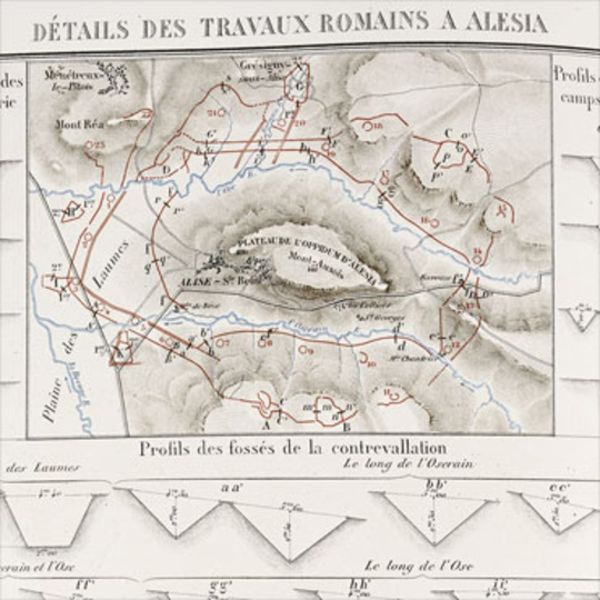
Plates from the Histoire de Jules César, 1866
-
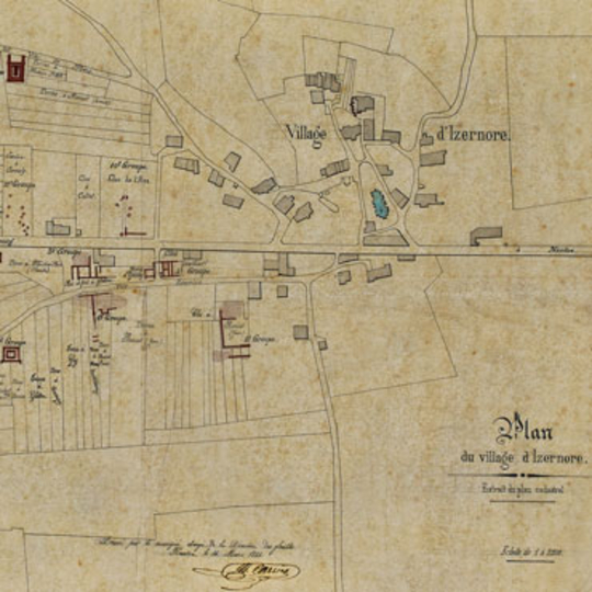
Plan of excavations at Izernore, 1864
-
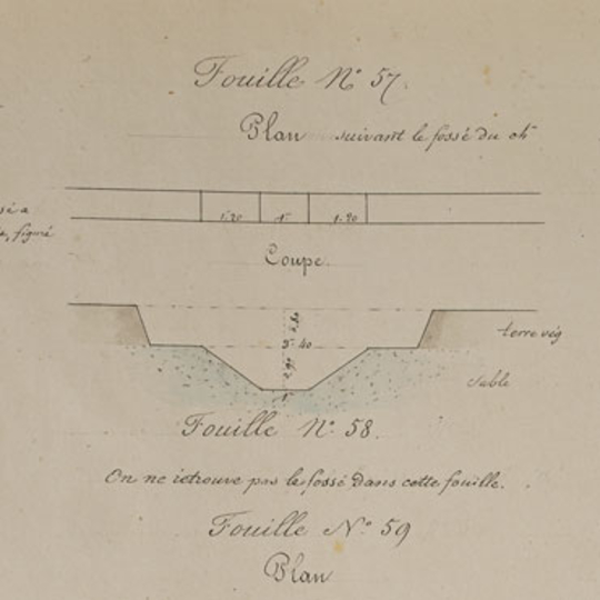
Extract from the Album des fouilles d'Alise-Sainte-Reine, produced by the Commission de Topographie des Gaules, 1861-1862
-
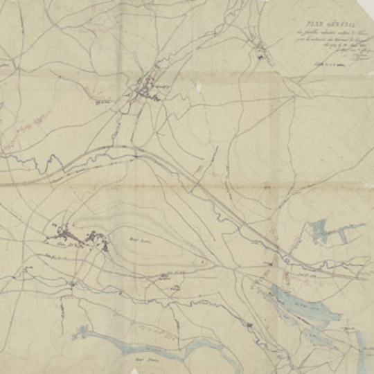
Plan of the excavations carried out around Alise-Sante-Reine, 1862
-
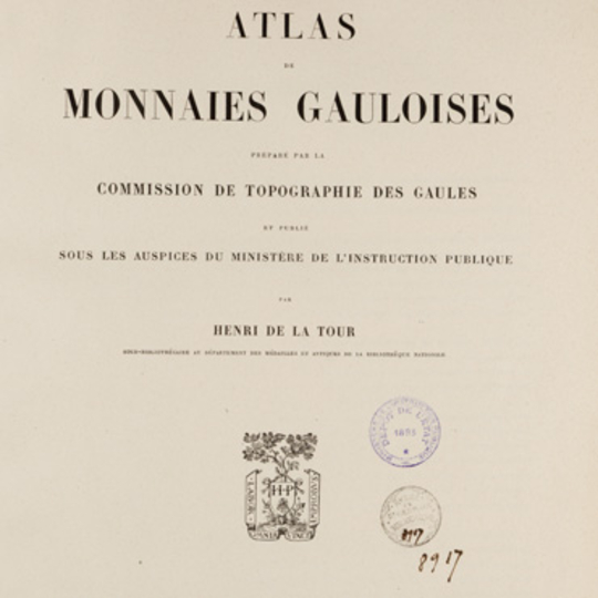
Atlas de monnaies gauloises, by Henri de La Tour, 1892
-
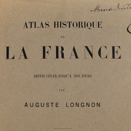
Atlas historique de la France, by Auguste Longnon, 1884
-
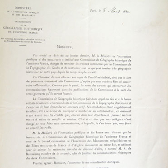
Letter sent by Henri Martin to CGHAF correspondents, 1880