- Home
- The Commission de Topographie des Gaules
- An institution
- Mobilising networks
In order to realise its ambitious work, the Commission de Topographie des Gaules (CTG) made use of the networks of the Comité des travaux historiques et scientifiques(CTHS), which allowed it to gather information about the whole territory. In 1865 and 1866, it began to establish its own network of official correspondents.
From many pre-existing networks...
In November 1857, the ministry ordered all rectors in France to mobilise correspondents of the Comité des travaux historiques et scientifiques (CTHS), as well as the leaders of scholarly societies, in order to gather together “all documents related to the geography of Gaul in the first centuries of the Christian era”.
This allowed the CTG to establish direct links with a large number of scholarly societies, as well as giving it precedence over the CTHS, the institution which united them. The 300 scholars across the country associated with the CTHS now also became correspondents of the CTG, which allowed the CTG to collect a large amount of information.
...towards a single network
From 1865, the CTG singled out certain collaborators to become “correspondants de la Carte des Gaules”, who would take on a greater role in the creation of the commission’s maps. With this reorganisation, the CTG’s work accelerated, and in 1867, four new maps and the first volume of the Dictionnaire archéologique de la Gaule were published. By the late 1870s, there were almost 200 scholars in this autonomous network, responsible for collecting, through fieldwork and in libraries, as much information as possible.
Partners and authors
Associated media
Open Media Library

Letter from a CTG collaborator following their appointment, 1865

Carte archéologique du Tarn, by Alfred Caraven, 1865

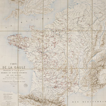
Carte de la Gaule - Monuments de l'âge de pierre, 1867

First volume of the Dictionnaire archéologique de la Gaule, 1875

Plates showing the Gavrinis site (Morbihan)

