
Between 1858 and 1879, the Commission de Topographie des Gaules (CTG) produced more than ten archaeological maps. These extremely accurate maps covered different time periods, from the Palaeolithic period to the High Middle Ages.
Military support
The reason these maps were so accurate is that from its beginnings the project benefited from the support of the Dépôt de la Guerre. This military administration, led by Antoine-Lucien Blondel and later by Charles-Raymond de Coynart, both CTG members, made the best maps of the time available to the commission. It was also Coynart who supervised the production of the CTG maps, ensuring the link between the CTG’s central office and Chartier, its official draughtsman, also from the Dépôt de la Guerre.
From the Stone Age to the Merovingian period
While the CTG’s first map, published in 1861, focused on Caesar’s military campaigns in Gaul, its later maps had a considerably broader chronological scope. The Carte de la Gaule au commencement du Ve siècle, published in 1865, depicts Gaul at the end of the Western Roman Empire. In 1867 and 1869, the Imprimerie Impériale printed two new maps focused on prehistory, depicting Monuments de l'âge de pierre and the Époque des cavernes.
In 1867, the base map which formed the basis for these maps was also published, titled Carte Oro-Hydrographique de la Gaule. It was widely distributed among scholars and the Ministry of War used it in its schools and for strategic studies. Other specific maps followed, such as the one showing milestones of Gaul, completed in 1878. Finally, the Carte archéologique de l'Europe centrale - Époque mérovingienne was published in 1879, the final year of the CTG’s existence.
Partners and authors
Associated media
Open Media Library

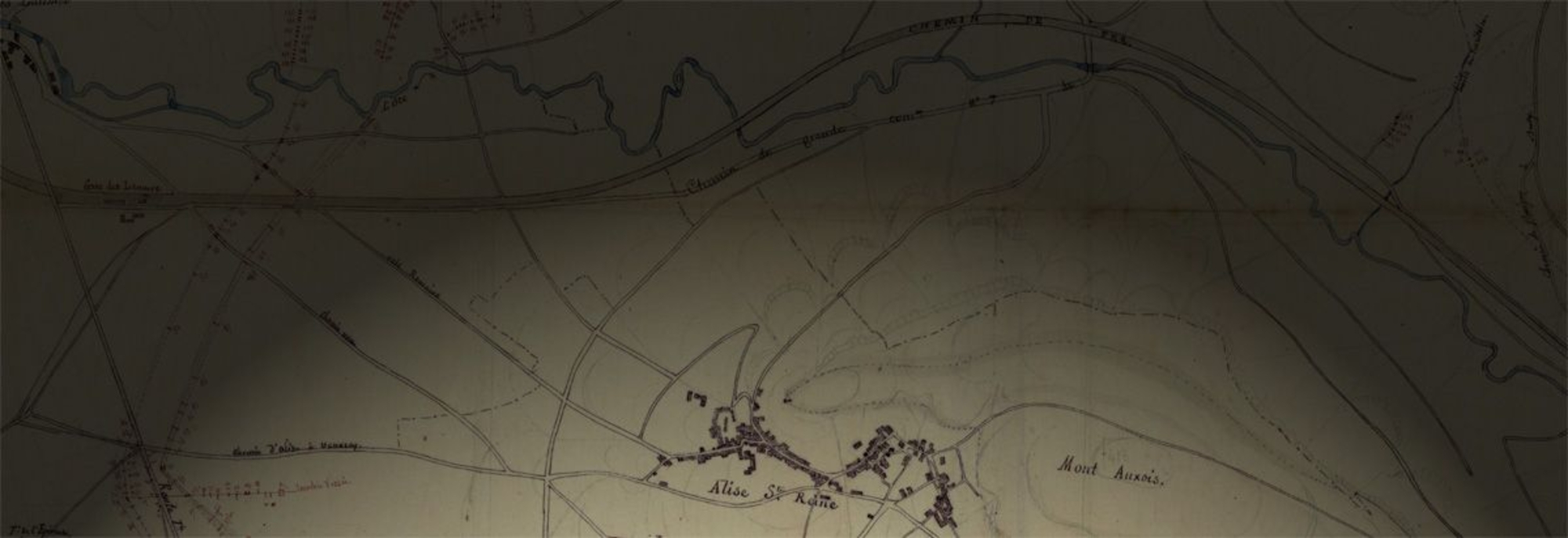
Base map with rivers, 1860-1861

Base map with relief, 1860-1861

Base map with Gallic tribes, 1860-1861

Preparatory map with place names and archaeological sites, 1860-1861

Base map with rivers and relief, 1860-1861

Base map with Gallic tribes and rivers, 1860-1861

Base map with Gallic tribes and place names, 1860-1861

Carte de la Gaule sous le Proconsulat de César, 1861
