- Home
- The Commission de Topographie des Gaules
- Innovative techniques
What made the work carried out by the Commission de Topographie des Gaules (CTG) so original was that it drew on a number of different scientific disciplines and used the most modern techniques of its time.
A multidisciplinary project and team
The CTG stood out for its multidisciplinary approach. The commission drew on a variety of disciplines, including geography, geology, topography, philology, epigraphy and numismatics, and it was only by using these disciplines together that it was able to advance in its work. CTG members were among the most renowned specialists of their time and included Félicien de Saulcy and Anatole de Barthélemy in the field of numismatics, Léon Renier and Casimir Creuly in epigraphy, and Joseph-Daniel Guigniaut in topography.
The latest techniques
The CTG made use of the most innovative techniques of its time to carry out its work. Even today, these techniques are considered indispensable to archaeological research. They include topographical surveys, stratigraphic records and photographic documentation, among others.
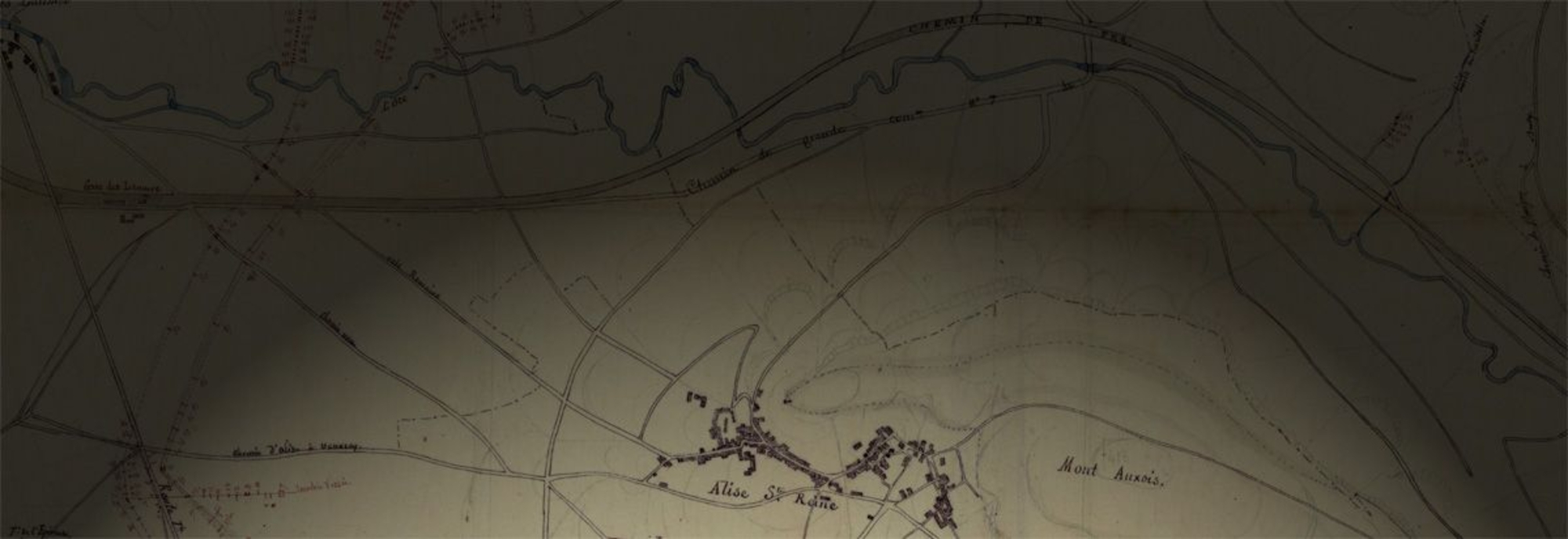
The quality of its archaeological surveys, in particular at Alise-Sainte-Reine, was notably high. On this Burgundy site, the CTG led exemplary excavations over very large areas, which allowed it to accurately locate the lines of the Roman siege around the oppidum. The participation of military topographers and engineers in these operations was an important factor in the quality of the results.
The use of photography, whether to illustrate the landscape around a site or to show the remains that had been discovered, was also an entirely original approach, adopted by Étienne Castagné, a surveyor at Cahors and CTG correspondent, during excavations carried out in the Lot region.


