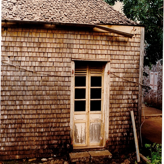
Filtres - 650/663 Selected medias
-

-
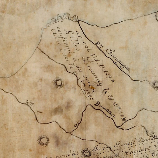
Detail from the map of concessions in Saint-Paul by Hermann, dated to the 18th century
-
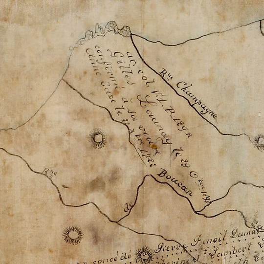
18th century map
-
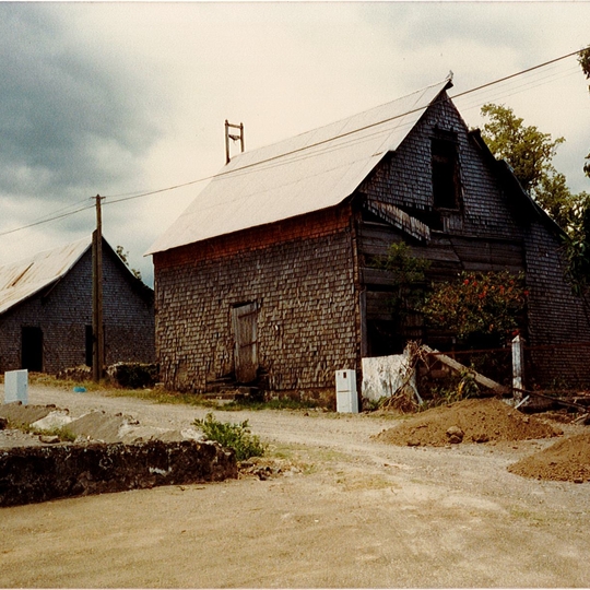
View of outbuildings on the Domaine de Maison Rouge
-
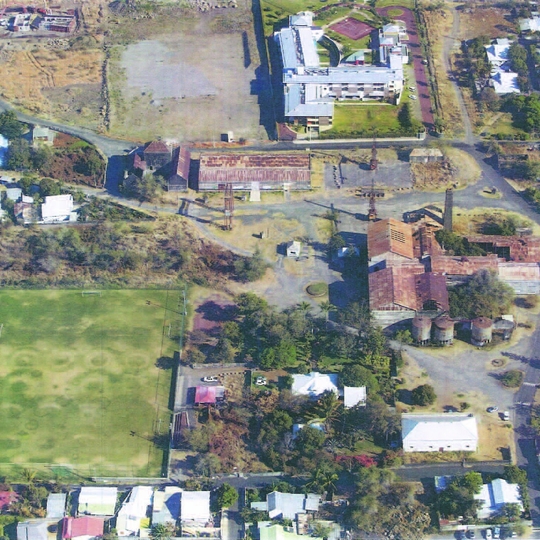
Aerial view of the plant
-

Map of Bourbon, 1653
-
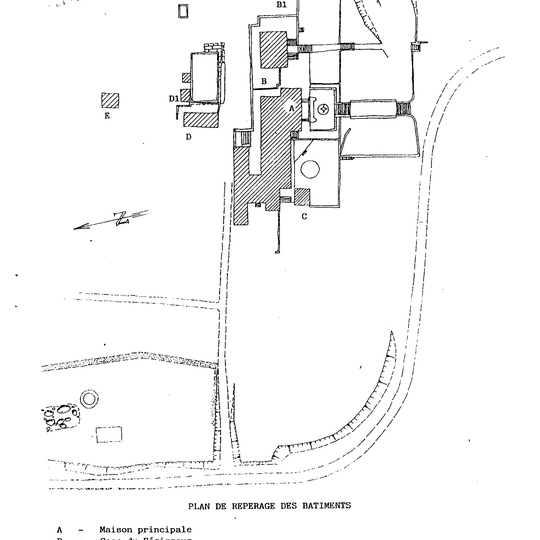
General map (Saint-Louis, Domaine de Maison Rouge, 1987)
-
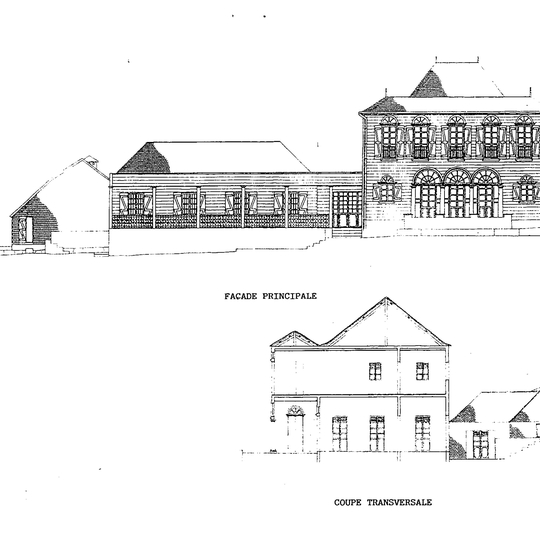
Record of the mansion house (Saint-Louis, Domaine de Maison Rouge, 1987)
-
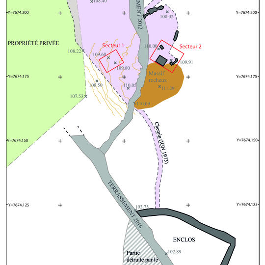
General map (Saint-Paul, Cap Champagne)
-
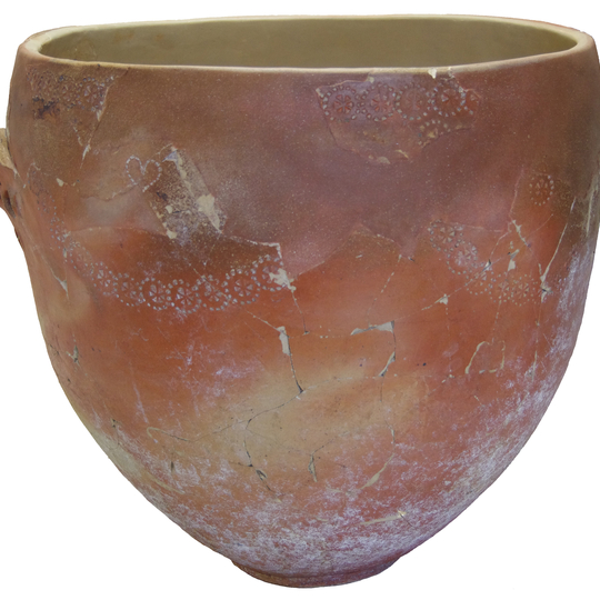
Salting tub after conservation (Saint-Paul, Route des premiers Français)
-
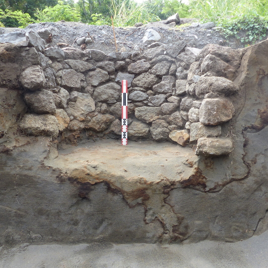
Section cut of a pit (Saint-Paul, Route des premiers Français, 2018)
-
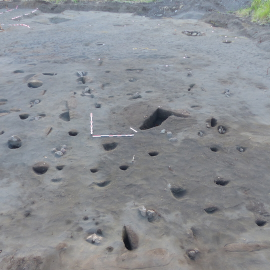
Area built on posts (Saint-Paul, Route des premiers Français, 2018)