- Home
- Archaeology on Reunion Island
- Sites
- Saint-Paul
- Bruniquel factory, indentured workers’ camp and hospital
- Cilaos
- La Possession
- Saint-André
- Saint-Benoît
- Saint-Denis
- Saint-Joseph
- Saint-Leu
- Saint-Louis
-
Saint-Paul
- Bassin Vital
- Batterie “De Droite"
- Batterie “De l’Embouchure"
- Cap Champagne
- Chemin de Bernica
- Marin cemetery
- Colline du Théâtre
- Domaine de Villèle
- Eastern entrance, Section 3
- Glacières du Maïdo
- Plaine-aux-sables
- Plateau Picard
- L’Étang bridge
- Poudrière
- Route des premiers Français
- Bruniquel factory, indentured workers’ camp and hospital
- Usine de Grand Fond
- Saint-Pierre
- Saint-Philippe
- Sainte-Rose
- Sainte-Suzanne
- Salazie
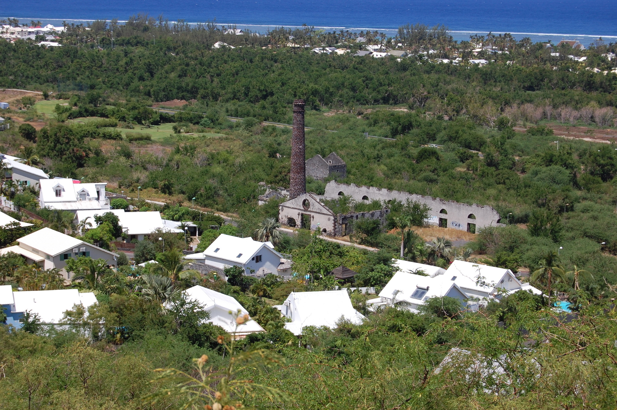
A field walking survey was conducted in 2015 close to the Filaos factory, built in 1865 and better known by the name of its second owner, Bruniquel. The aim was to identify the remains of the hospital and the camp for indentured labourers shown on a map dating from 1871.
Camp for indentured factory labourers
The Œil de Bœuf district was home to the indentured labourers who worked in the sugar processing factory; Indians, Madagascans and the descendants of freed slaves lived in makeshift huts built from perishable materials, which makes them difficult for archaeologists to find. Notched natural blocks with shaped corners were found and may have been used as cribbing. Archaeologists also found a wall and a possible base.
The hospital
Most of the information about where and what the hospital was like comes from a health survey produced by a doctor in 1877. It describes a "large stone building with a thatched roof well situated opposite the sea, two spacious rooms, one for men (62 by 19 feet), with 19 beds, and the other (41 by 19 feet), for women with six beds, and 18 feet high, with an asphalt floor." (Archives of the Conseil Général de l’île de La Réunion, Health survey made on 25 August 1877 by a doctor visiting Bruniquel hospital. Location mark unknown, source: Patricia Marret)
Three areas of masonry work were found under vegetation in the surveyed area.
The data collected confirmed the presence of remains in exactly the places shown on old maps, now building land.


