
Consecutive to the evaluation performed in 2017 preparatory to the Nouvelle Entrée Ouest coastal project in Saint-Denis, an excavation was performed in 2019 on place du Général de Gaulle. It provided an insight into the development of this urban street block from the 18th century.
Road construction
The different stages of the road’s construction were observed to the south of the excavation area along the line of the former "rue de l’Embarcadère", now the rue de Nice. It first appears in 1777 on the Banks map. Its most recent state – fragments of smashed stones and pebbles – seems to correspond to the ballast of the railway laid in 1882 by the Compagnie du Chemin de Fer et du Port de la Réunion. An older cobbled street bordered on its northern side by a conduit was also revealed.
Development of marine constructions and establishments
In the early 19th century, an enclosed area of small buildings appears on the Chandellier map. One of these constructions was found to the east of the excavation area. Between 1808 and 1818, a large rectangular warehouse with outbuildings was built along the Rue de Paris. The excavation shed further light on the commercial nature of these buildings. After this point, the marine infrastructure was altered continuously until around 1878. The facilities were gradually dismantled as part of a general shift in port activities to the Port de la Pointe de Galets, opened in 1886. The buildings were demolished between 1912 and 1935.
The guardhouse and its kitchen
To the west of the excavation site, archaeologists uncovered the massive foundations of the guardhouse on Place du Gouverneur, built before 1779, and its kitchen, which was constructed before 1808. The guardhouse was demolished in the 1930s.
Associated media
Open Media Library

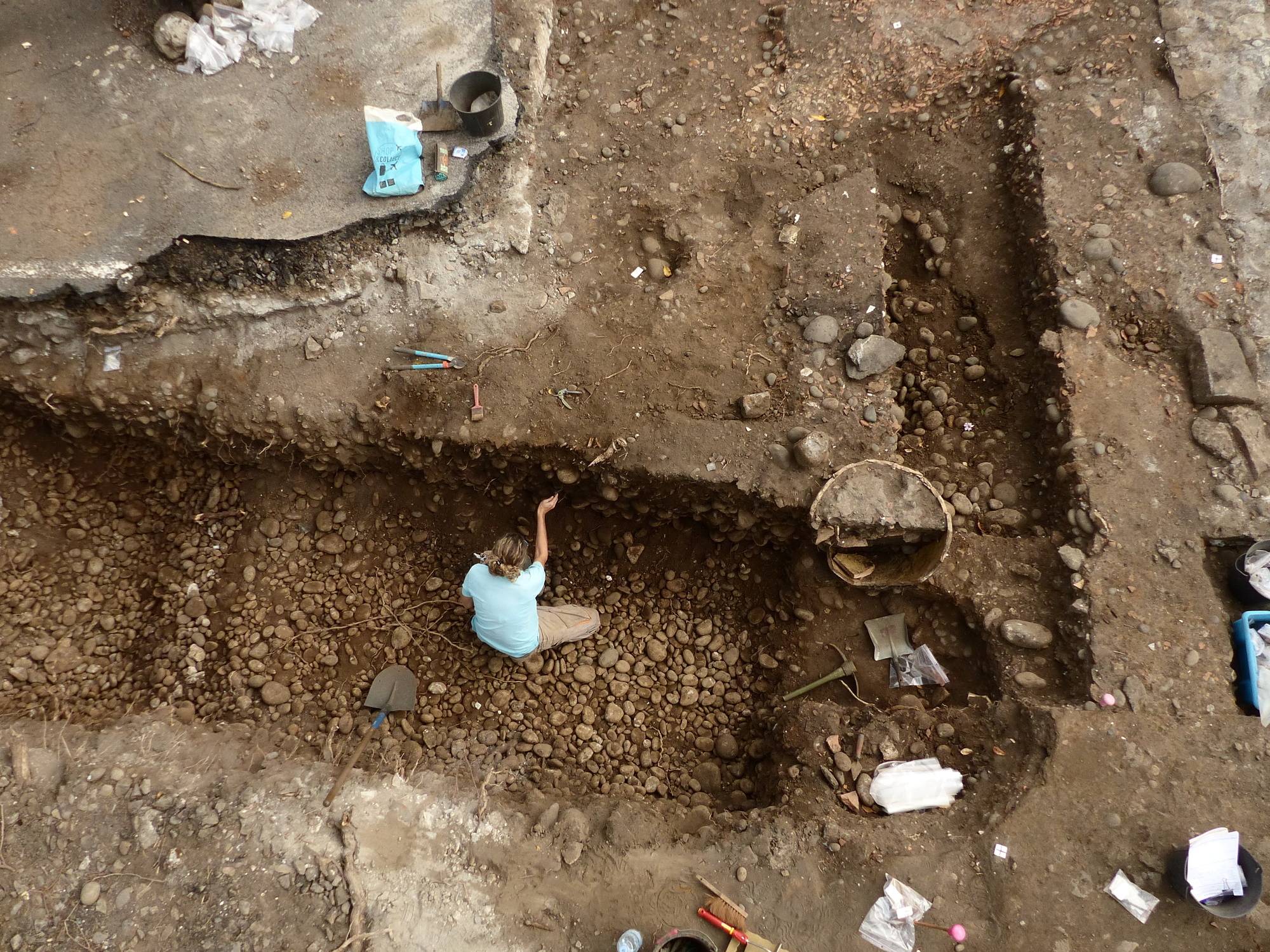
Aerial view (Saint-Denis, Place du Général de Gaulle, 2019)

General view (Saint-Denis, Place du Général de Gaulle, 2019)

Rue de l’Embarcadère (Saint-Denis, Place du Général de Gaulle, 2019)

Channels (Saint-Denis, Place du Général de Gaulle, 2019)

Large warehouse (Saint-Denis, Place du Général de Gaulle, 2019)

Storage vase (Saint-Denis, Place du Général de Gaulle, 2019)

Changing uses (Saint-Denis, Place du Général de Gaulle, 2019)

Guardhouse (Saint-Denis, Place du Général de Gaulle, 2019)

Group of tiles (Saint-Denis, Place du Général de Gaulle, 2019)

Hoarding presenting the excavation on Place Charles de Gaulle in Saint-Denis designed by Inrap
