
The Caverne des Lataniers or Lataniers cave, at the heart of the Réunion national park is located at an altitude of 2,360 metres at the entrance to the Plaine des Remparts, where the outlying areas of the districts of Saint-Joseph and Le Tampon meet. The cave had been a source of food and shelter ever since people had taken an interest in the area, from the marronnage era to the earliest expeditions to the volcano. It is a site of outstanding archaeological potential and two planned excavations were carried out here in 2017 and 2019.
Resting place and lodge since the second half of the 18th century
The Lataniers cave is known from the second half of the 18th century and was most frequently visited in the 19th century. Although it provided shelter for marrons and then kid hunters, it was mainly used by the many explorers who visited the volcano and then by "tourists" for almost a century. Many of these travellers left their name on the site to mark their passage and as a token of their tenacity, because it would have taken at least three days to reach the summit of the volcano before the road was built.
The contribution of recent archaeological operations
The site’s general stratigraphy was established in conjunction with geologists from the Observatoire Volcanologique du Piton de la Fournaise for the non-anthropic layers. They also studied the seven hundred artefacts found during two excavations. The first occupations dating from the end of the 18th century and the first half of the 19th century attest to the seasonal occupation of the cave by hunters – the remains include gun flints and animal skeletons – who were possibly marrons. Occupations dating from the second half of the 19th and the first half of the 20thcentury reflect the use of the cave by "tourists".
Associated media
Open Media Library

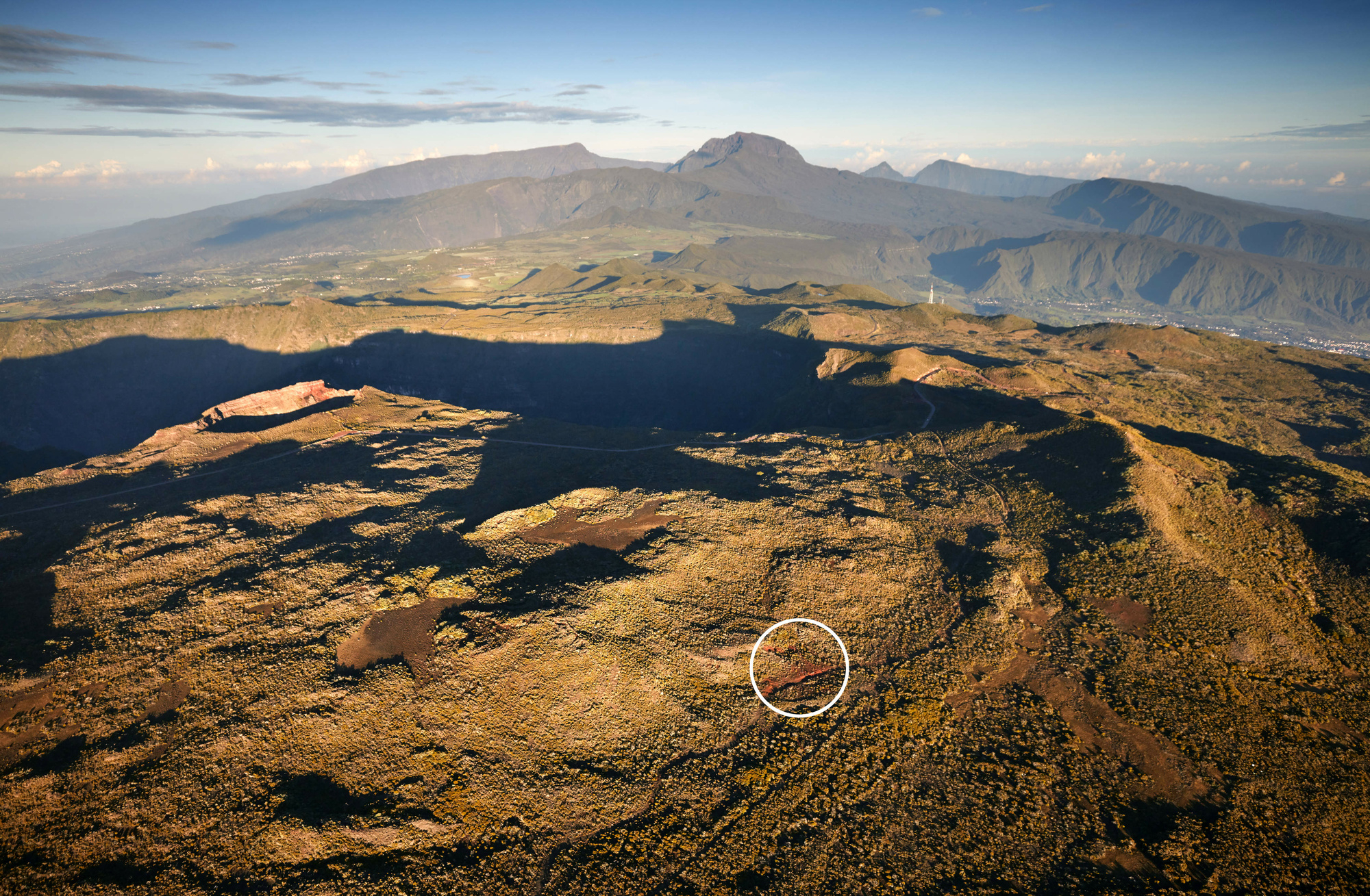
Caverne des Lataniers

General view (Saint-Joseph / Le Tampon, Caverne des Lataniers)

Test trench records (Saint-Joseph / Le Tampon, Caverne des Lataniers, 2017)

Stratigraphy (Saint-Joseph / Le Tampon, Caverne des Lataniers, 2017)

Engraved stone (Saint-Joseph / Le Tampon, Caverne des Lataniers)

Engraved stone (Saint-Joseph / Le Tampon, Caverne des Lataniers)
