
In 2016 and 2020, field walking surveys identified sections of a former road laid between 1719 and 1793. The remains of a former cobbled road, they are probably part of the oldest visible works in Réunion.
The "grand chemin" or "chemin de Bernica"
This road designed to link Saint-Paul and Saint-Pierre was laid on the orders of the governor Antoine Desforges-Boucher. The works began in 1719 and allowed travellers to go as far as Saint-Gilles-les-Hauts in 1720. The road forked into two branches near the current district of Plateau-Caillou, one leading to Bernica, the other to the south.
It was possible to travel the whole way round the island from 1793, when the road was called the "grand chemin". In 1806, it is called the "chemin de Bernica" on the Chandellier map.
Field walking surveys
Several sections of the former cobbled road were found in 2016, between the church of Saint-Paul and Plateau-Caillou. A total of 982 cobbled linear metres of road has survived in this area. The average width of the road is 4 metres, bordered with raised blocks.
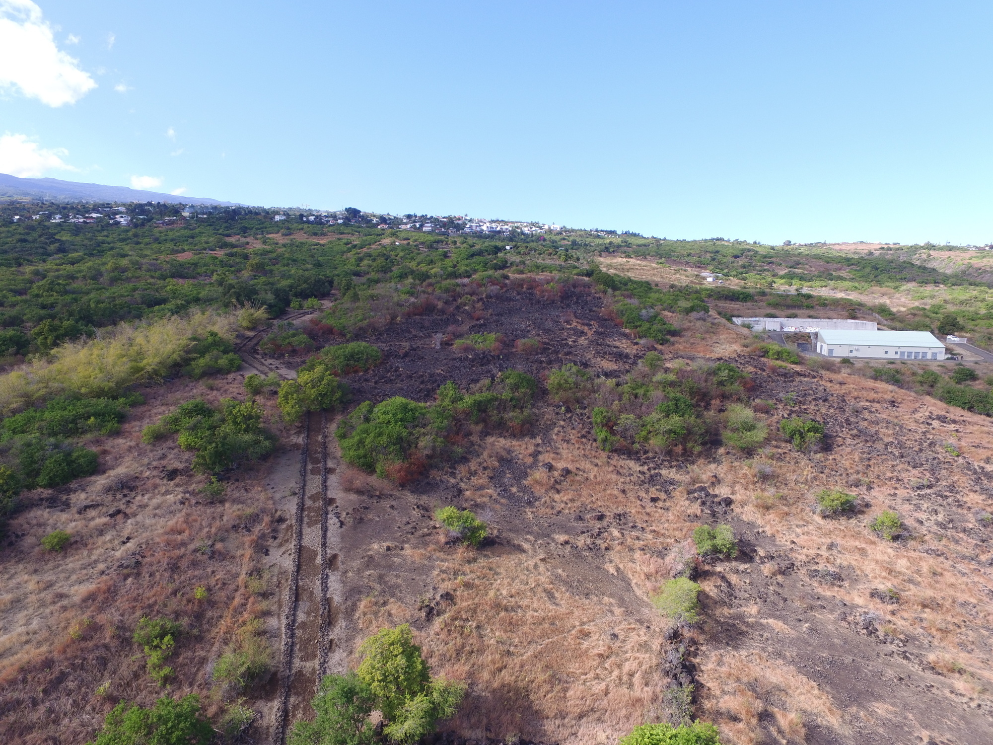
To the south, this straight cobbled road was identified during a rescue excavation in 2020. The road cobbling is 3.25 metres wide and its edges are perfectly preserved under the grass. The land boundary is marked by a ditch running along the eastern side of the road. Beyond the present-day Gonneau-Montbrun development, the road disappears into a former sugarcane field.


