
Archaeologists made a rescue evaluation in 2019 prior to the opening of a quarry between the Trou and Avirons gullies to assess the archaeological potential of this area with an agricultural history attested by historical sources.
Since this rugged fallow ground is difficult to reach, archaeologists developed a special working method in close partnership with the SRA group and the quarry.
Based on a LiDAR survey of the excavation area and an analysis of the resulting data, a smaller area with a large number of potential remains was selected. This area is close to the ruins, a lime kiln and buildings similar to a kader-leaf mill outside the selected excavation area.
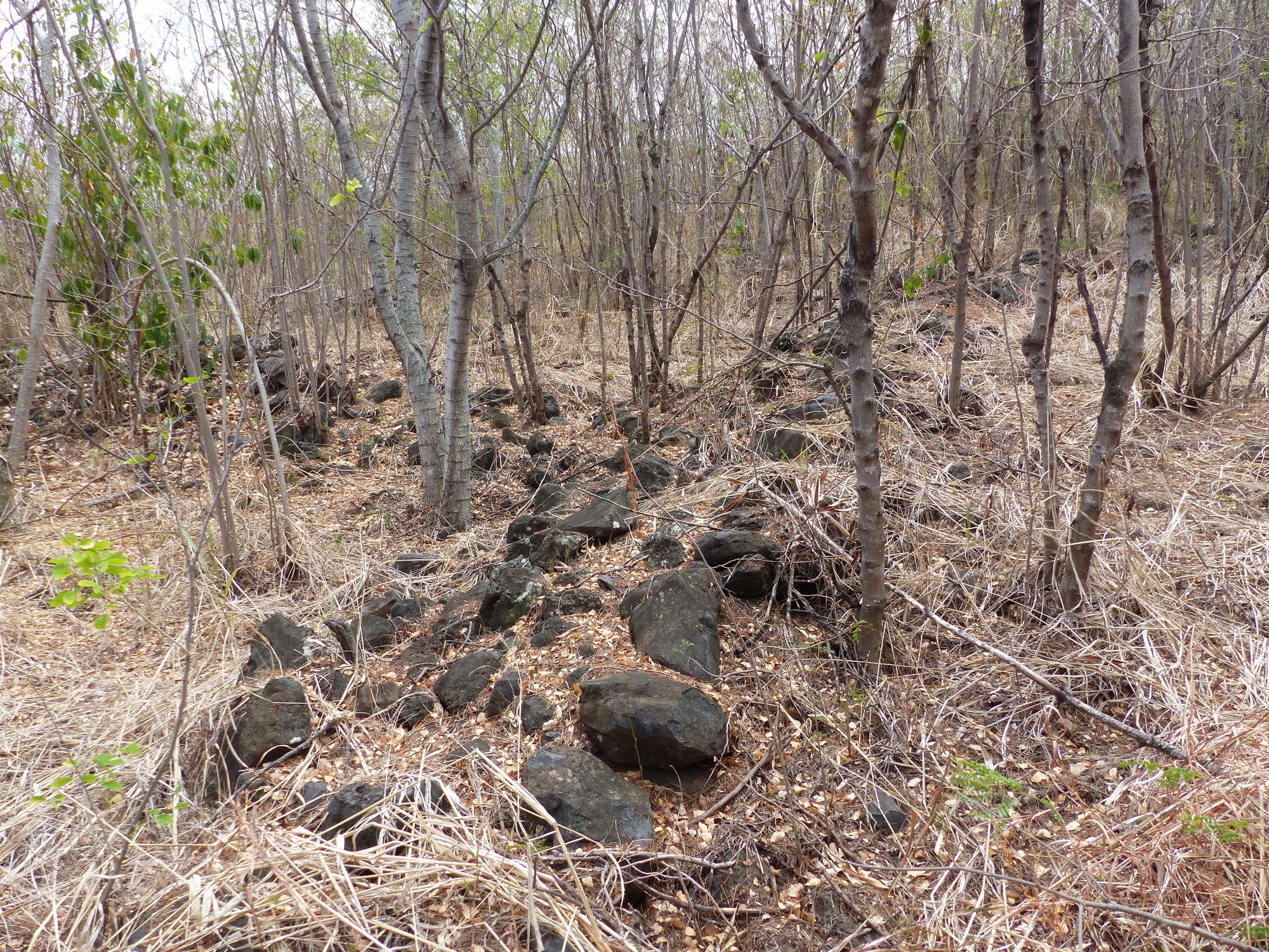
A field walking survey of this smaller area revealed a large network of paths, some still cobbled, that may have run between areas that had obviously been placed under cultivation.
A cartographic study combined with field observations revealed changes to the network, with some paths interrupting others. The cultivated areas take the form of large earthworks resulting from stone removal.
Although several test pits were dug in these cultivated areas and on the site of pathways, no relevant finds or botanical macroremains were discovered and it was therefore impossible to establish a chronology or provide evidence of a specific agricultural activity.
Associated media
Open Media Library

LiDAR scan (Saint-Leu, Ravine du Trou, 2019)

Plant coverage of the site (Saint-Leu, Ravine du Trou, 2019)

Roadway (Saint-Leu, Ravine du Trou, 2019)

Building remains, Area 1 (Saint-Leu, Ravine du Trou, 2019)

Building remains, Area 2 (Saint-Leu, Ravine du Trou, 2019)

Hoe iron, Area 1 (Saint-Leu, Ravine du Trou, 2019)

Off-site oven (Saint-Leu, Ravine du Trou, 2019)

Off-site plant (Saint-Leu, Ravine du Trou, 2019)
