Map of Saint-Paul, 1806
827
Chandellier map, modified extract
Location of areas surveyed in 2016
© FR ANOM 23DFC 112 bis A, DAO Pierre Brial, OMT
© FR ANOM 23DFC 112 bis A, DAO Pierre Brial, OMT
Vist the site : Archaeology in the Indian Ocean
/iipsrv/iipsrv.fcgi?DeepZoom=/sites/archeologie/files/styles/archeo_deepzoom_conversion/public/upload/mediatheque/originales/images/ok2.jpg.tif.dzi
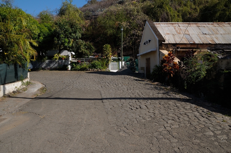
The "Impasse du pied des Rampes"
1
Photograph of section 4 of the path. This 52 linear-metre section between the church and the bottom of the slopes is a small cobbled alleyway between long-established buildings.
183,939
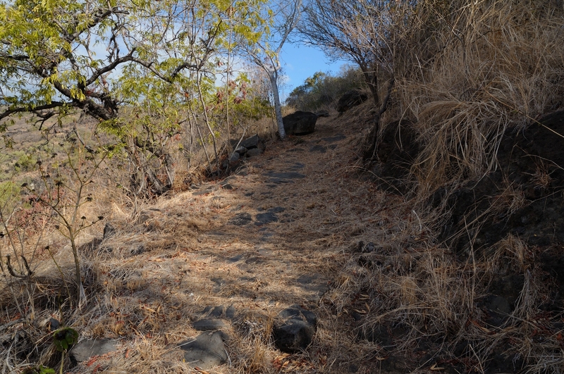
The "Impasse du pied des Rampes"
2
Photograph of section 5 of the path. This straight, 334-metre section of road crosses the plateau covered with savannah, immediately above the slopes.
507,559
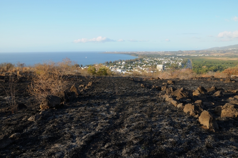
Au-dessus des rampes de Plateau-Caillou
3
Photograph of section 6 of the path.
1117,879