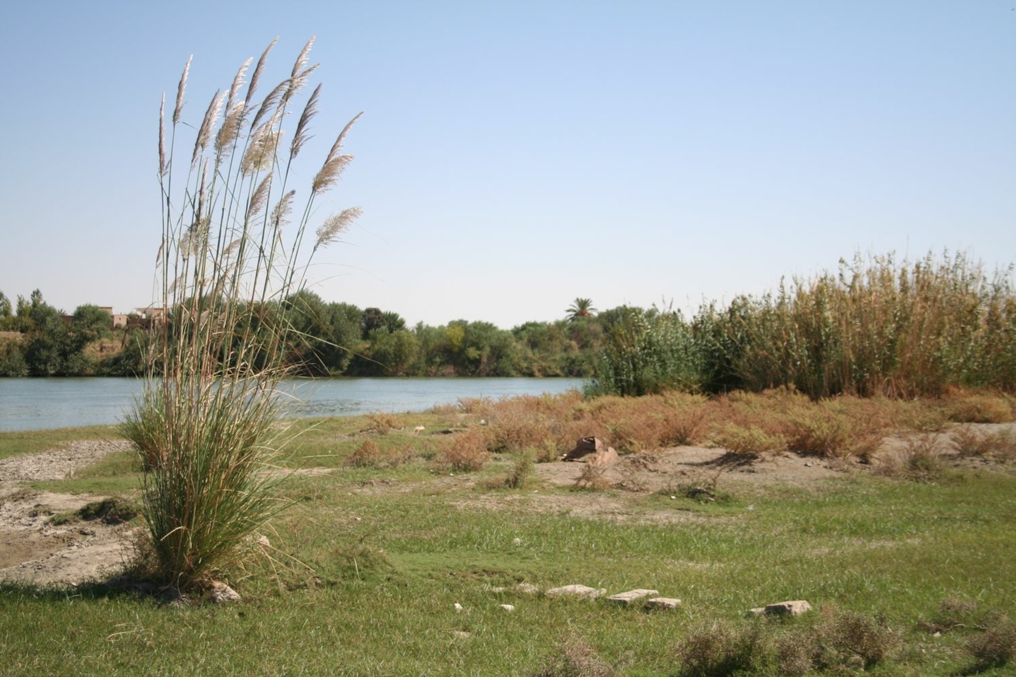

The Euphrates: a major communications route
Mari derived much of its wealth from its unique position on the middle Euphrates, at one possible crossing point between north and south Mesopotamia, between the Mediterranean world and Central Mesopotamia and then Iran. At a regional level, this explains its foundation in the early 3rd millennium to control the major communication and trade route linking lower Mesopotamia, urbanised and lacking in raw materials, to the Syrian-Anatolian mountainous region and its reserves of metal and wood. The prosperity of the kingdom rested first and foremost on the taxes paid by boats travelling along the great river, and even by caravans that passed along its right bank.
The port of Mari
Research in the 1980s revealed that the city was linked to the river by a transport canal, which also supplied it with water. The port, known in ancient times as karum ("wharf"), where merchants operated, was in the northern part of the city, now completely eroded by nearly forty centuries of flooding.


