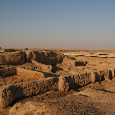

Erosion anomalies
Primary erosion at the Mari site is well documented and has sliced off the north-east section, mainly due to changes in the course of the Euphrates. Excavations with deep test pits and the accumulation of excavation spoil forming small tells have caused secondary erosion. This has modified the path taken by water on the site, for example, and created a new topography.
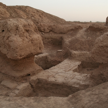
Excavation anomalies
The archaeological work carried out on the site for more than half a century has significantly modified the tell and its internal dynamics. Most spoil and excavation sites can be identified on satellite images but tend to blend into the landscape. The exposure of mud-brick remains also speeds up their erosion.
Looting anomalies
Since the start of the Syrian conflict, the archaeological site of Mari has been the target of persistent and sometimes intensive looting. The depressions caused by illegal excavations will eventually also have an impact on the general morphology of the site, making it increasingly hard to understand it stratigraphically and in a purely archaeological sense.
Partners and authors
Associated media
Open Media Library

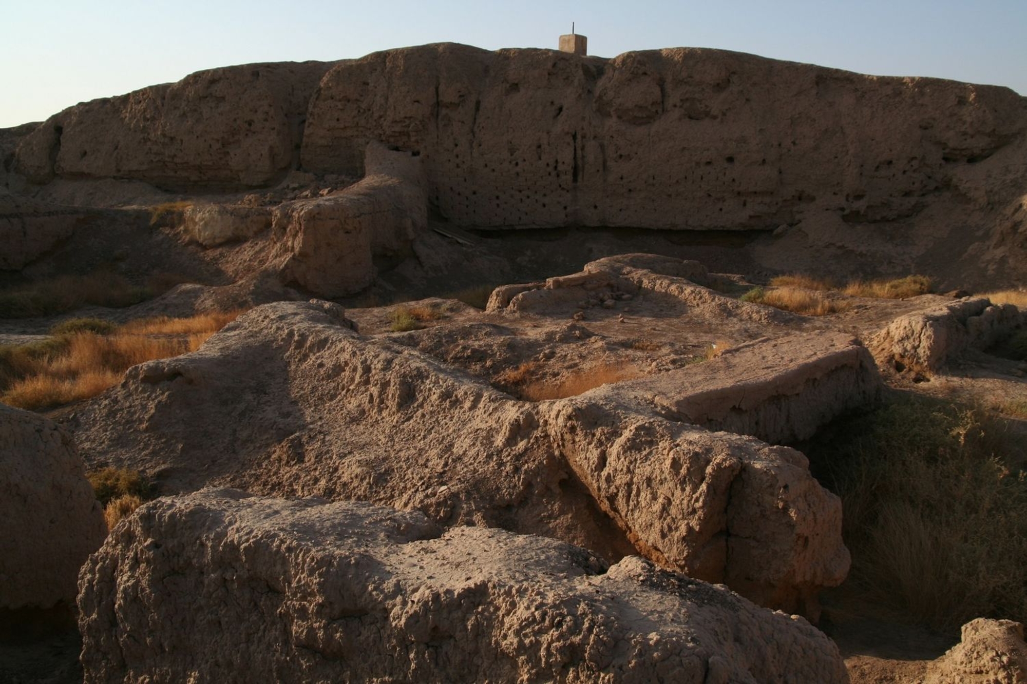
Sillon destructeur sous le mur de la salle 1 du Palais. Etat en 2004.
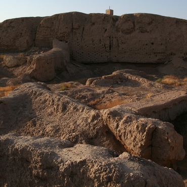
Sillon destructeur, fondation du temple Tour en 2007
Sillon destructeur et niveau d’érosion, maison du Sanga vers le Sud, en 2007.