
A major research project has been launched to study archaeological sites damaged by armed conflict, from the Near East to Central Asia.
Satellite imagery
This study is mainly based on the analysis of aerial and satellite imagery combined with reference measurements taken in the field. These data are integrated into a Geographic Information System (GIS) to map damage on any scale.
Archaeological publications
Archaeological data is used to produce a detailed vectorial map of the site, identify the extent of the damage to the affected areas and periods, and prevent confusion between former excavations and looting pits.
Destruction analysis
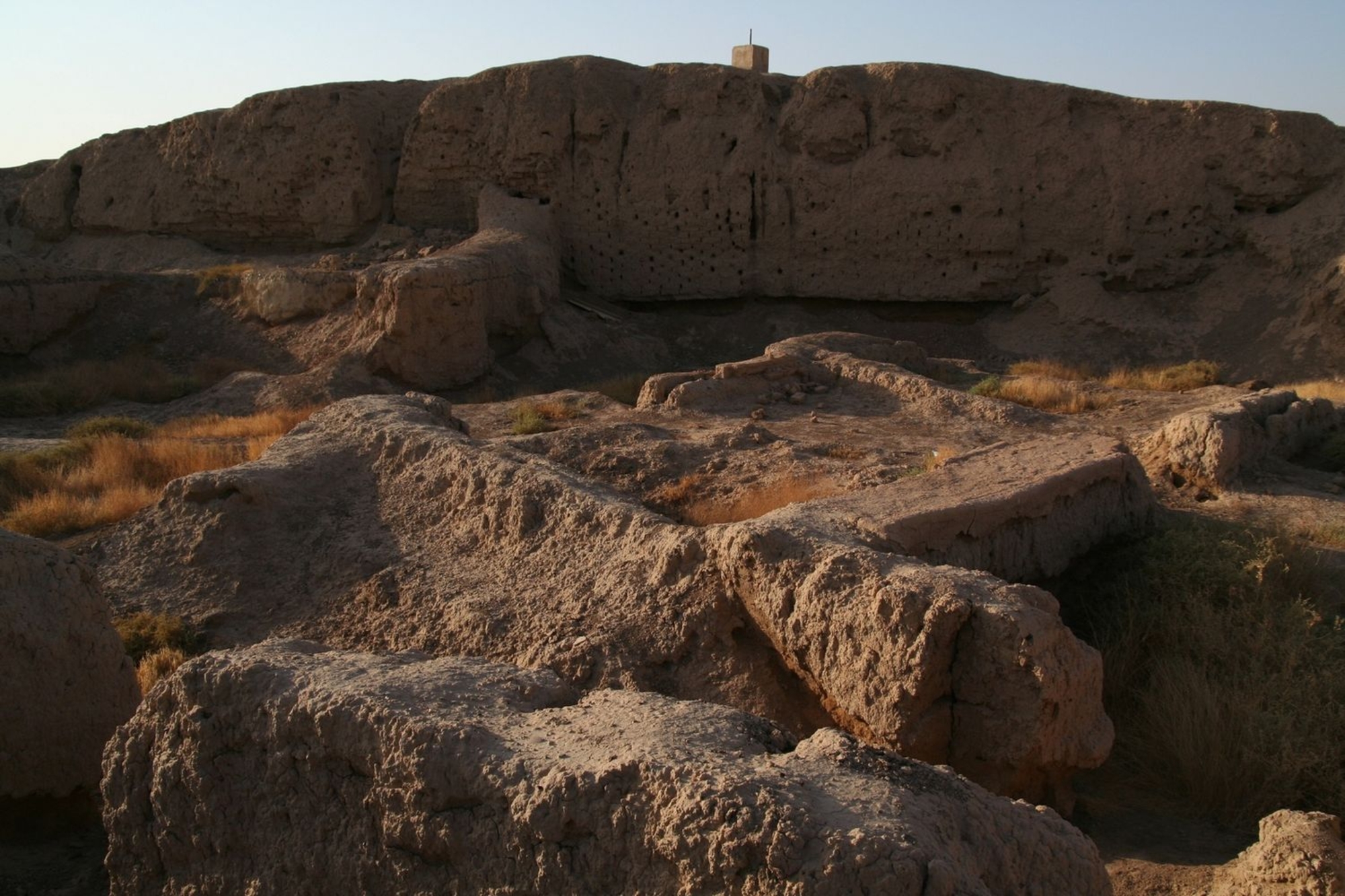
It is important, when interpreting these maps, to distinguish between erosion and anomalies caused by archaeological excavations on the one side and by destruction resulting from conflict or looting on the other side. It is for exemple possible to identify the impacts of different types of explosive devices and the traces left by the installation of military bases, such as earthworks and constructions. Looters dig pits, sometimes using machines, or even tunnels, which may be heavily concentrated, often with more than one thousand pits in a single area. Dispersed sediment makes it much harder to understand the archaeological remains.
All the data collected in this way makes it possible to assess the overall state of the archaeological sites. Regular assessments are required to track changes over time, which often leads to a shift in geographical focus.

