- Home
- Explore the site
- Planning a new city
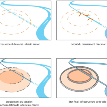
Mari City I was a new city. Its size and shape were designed from the ground up.
Development of the urban site
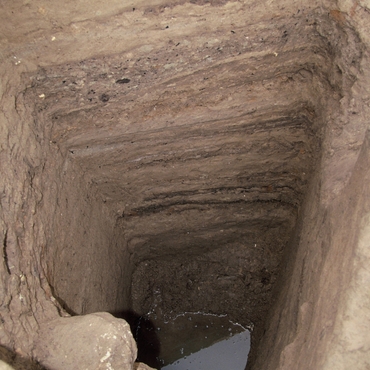
The stratigraphy reveals that it was built on a base, 50 cm to 1 metre high, of soil sourced and selected for its insulating and absorbent properties in order to keep the base of the constructions away from the nearby water table.
An original ground plan
The sections of the two excavated enclosures – the outer dike and the inner enclosure – reveal that the lie of the land varied little between the stratigraphic succession of Cities I, II and III. The circular plan of 2.9 km in diameter was part of the original design (circa 2950 BCE) and remained unchanged for more than a thousand years.
A compartmentalised urban infrastructure
The general city plan has a compartmentalised infrastructure, identified in City II, that structures the road network and provides the foundation for the houses. This system survived the successive rebuilding phases of the city.
Transport and supply canals: a necessity
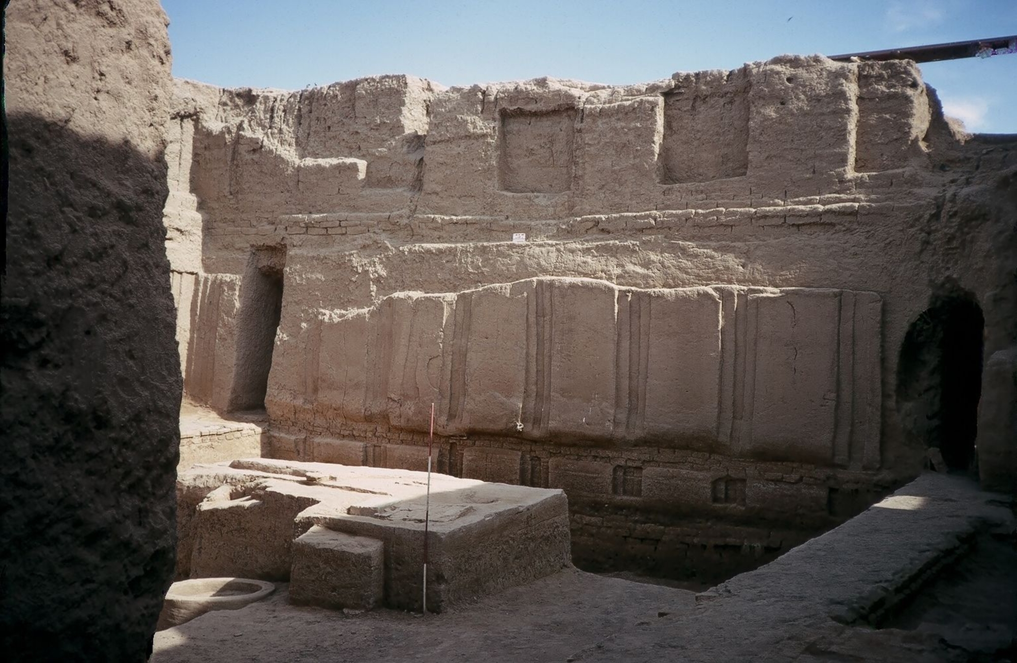
The site required considerable material and, as a result, human resources to build. Gypsum blocks were used in the foundations of the mud-brick walls, some weighing more than five metric tons. They could only be transported by water. This strongly suggests the diversion canal was built across the city during this initial stage.
As for the left-bank transport canal, which stretches 120 km from the confluence of the Khabur, no artefacts have been found to prove it dates from the same period; nevertheless, in the absence of textual evidence, there are sound reasons, both in terms of its construction and the economy – Mari's dependence on the northern regions for raw materials and fuel – to believe it was also constructed in early 3<sup>rd</sup> millennium.


