
Tell Hariri, beyond the reach of the Euphrates?
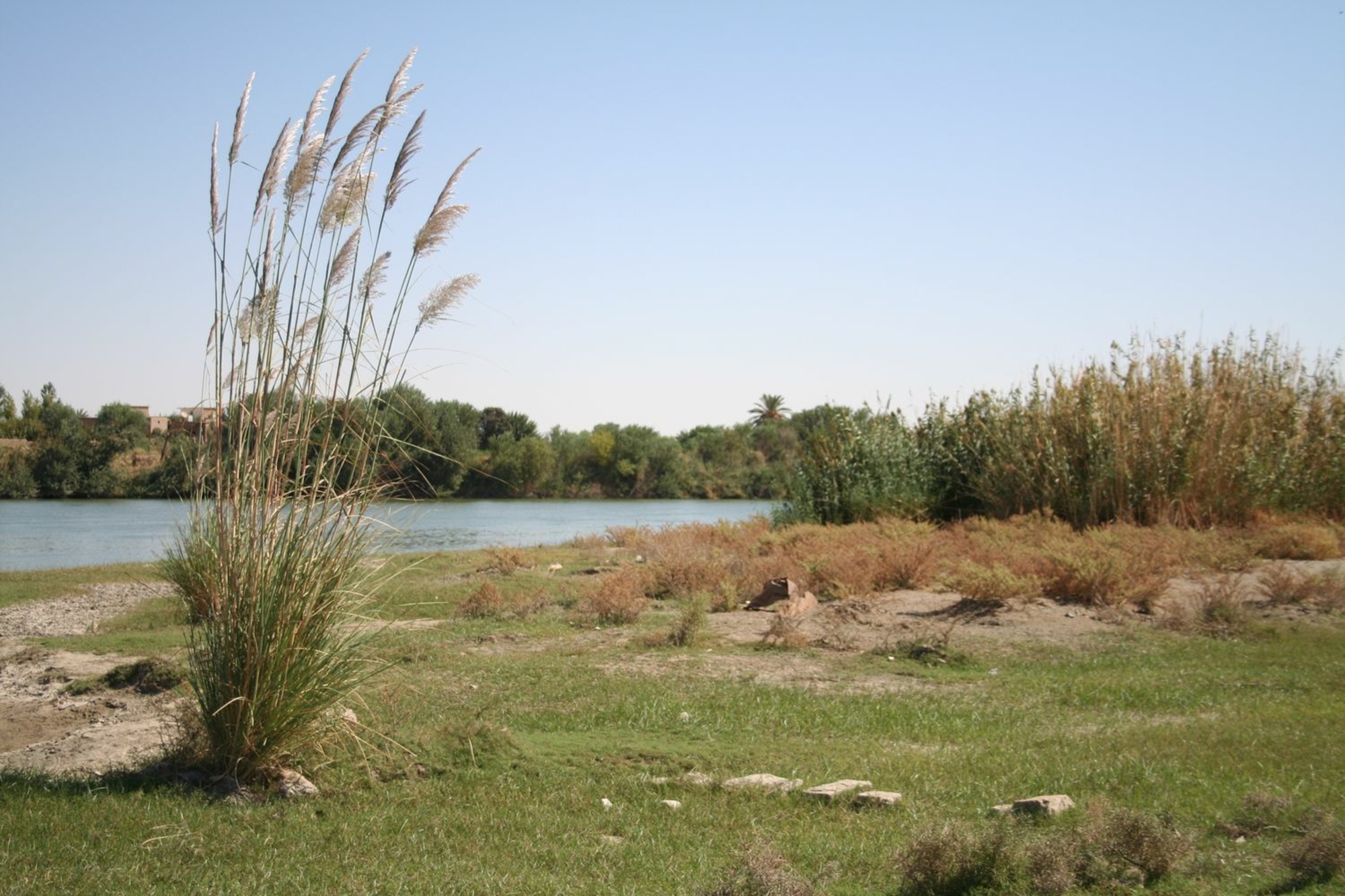
The city of Mari was founded in the early 3rd millennium, on the right bank of the Euphrates, away from the course of the river. The Euphrates winds down from the Taurus Mountains across the Jezirah, cutting through limestone plateaus to form a narrow, silty and fertile valley, before flowing into the plain of central and southern Mesopotamia. The archaeological site of Tell Hariri (Mari) is 15 kilometres upstream of the Syrian-Iraqi border in the extreme east of Syria. At this point, the valley is particularly wide (5 kilometres) and the city was built on a river terrace, separated from the annual river floods. The river never flowed at the foot of the site, but gradually and partially destroyed it during flood events.
Riverbank development
Major hydraulic works were realised to supply water to the city and its surrounding area. Remains of canals have been found on both the left and right banks of the river. Farming populations worked the land and grew wheat and perhaps date palms, a practice largely controlled by the palace and certain temples. The fickleness of the desert environment often led kings to supplement harvests with produce purchased from the Khabur Basin or western Syria.
But the site mainly owed its prosperity to its position on one of the main trade routes in the Near East: the Euphrates.


