- Home
- Prospecting
- Taking pictures
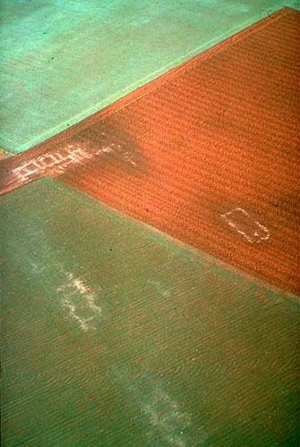
Béhen (Somme). Ground frost reveals the layout of a Gallo-Roman villa. Even in cold weather, it is best to leave the window open to avoid condensation on the camera lens.
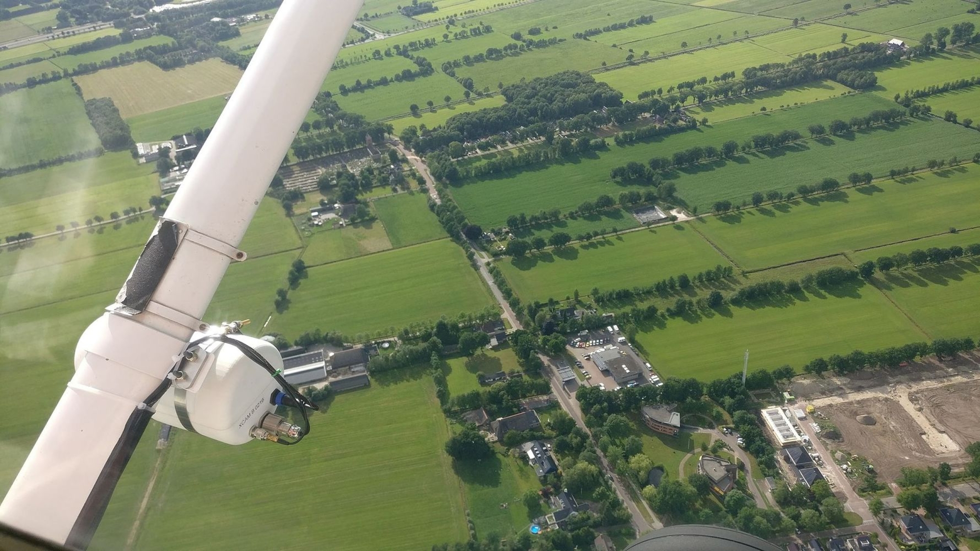
In low-wing planes, a good pilot will bank slightly to the right at the opportune moment to take the wing out of the picture. A spiral descent over the site to be photographed is extremely efficient, a bank of only 35° will do nicely.
Certain aircraft are equipped with a small window flap that opens upward. This allows the photographer to avoid reflections when shooting through the Plexiglas. Otherwise, adding a polarizing filter to the camera eliminates reflections and improves contrast, but it also decreases luminosity by about two aperture stops.
To avoid vibrations, never lean against the fuselage and never hold the lens outside the plane. In order to reduce blurring, it is a good idea to slow the plane a little, but watch your stall speed! The average prospecting height is around 300 to 400 meters. If you develop a good relationship with your pilot, he or she will quickly become a precious collaborator who, interested by archaeology, can offer a second pair of eyes and thus increase the efficiency of the search. It is in your interest to choose a trained and cautious pilot who knows the region and scrupulously respects all current regulations With a little practice, the pilot will conveniently position the aircraft in function of the light and the contrasts that should be highlighted.
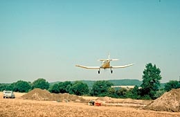
What you must never do — an extremely low flyover above an excavation site. It is strictly forbidden and terribly dangerous!
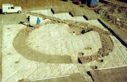
For small digs, such as this one at Port-le-Grand, it is best to photograph from the top of a ladder.
Some aerial archaeologists fly and take photographs themselves. This can be risky and requires a great deal of experience. Remember that with light aircraft, accidents are relatively frequent. Investigations show that they most result from pilot error and from flying at too low altitudes, particularly when taking photographs. The minimum safety altitude is 150 meters over farmland, 300 meters over villages, and much higher over cities (check the IGN's aeronautic maps, which also indicate no-fly zones, and areas that are subject to stricter regulations).


