- Home
- Prospecting
- Checking on the ground
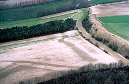
Liercourt-Erondelle (Somme), the so-called "Camp of Caesar". Aerial view in the winter of the very large earth levee interrupting the hillside. On the left-hand side, dark patches of damp reveal the location of filled-in Roman pits.
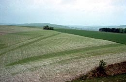
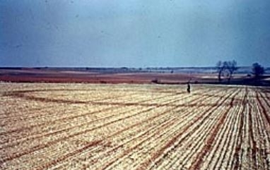
The same site in spring, taken from atop an earthen levee. Thanks to this slight elevation, we can partially make out the line of the Roman pits, previously spotted from the air, where the crops are greener. Liercourt-Erondelle (Somme).
The same site, after a storm in July. The crops, which grew too high over the filled-in pits, are now lying down. This crop "fall" is common over ancient protohistoric and Roman rubble. Liercourt-Erondelle (Somme).
Useful additional information
There is no such thing as aerial prospecting without checking the ground after carrying out a flyover. Aerial photography only reveals what can eventually be seen in the landscape. Aerial views and ground-level views are complementary and mutually enlightening.
What may seem complex and somewhat mysterious from the air can sometimes become simplicity itself on the ground. Anomalies in the landscape that provide clues to the past are often easily perceptible by the hiker, although he or she may be equipped with air cover and IGN maps (1:50,000 and 1:25,000 scale).
Following Roman roads is child's play, and it is pleasant to observe the unusual shapes of certain groves or lines of trees, which give away the location of defensive structures.
As for leveled-off archaeological remains, only very small structures can be easily discovered by walking through the fields — such as the small lines and strict geometric shapes that are extremely obvious.
Thus, the ancient circular ditches of Bronze Age funerary enclosures, even though filled in, preserve the dampness very well. They appear in a manner that is as fleeting as it is astonishingly multiform, thanks to dew, frost, unequal crop growth, after a storm, or to different rates of yellowing.
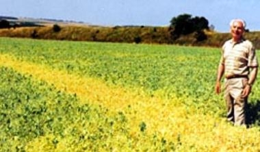
Faster yellowing of pea plants mark the line of a Roman ditch. In the background, the large earth levee of the "Camp of Caesar" can be seen. La Chaussée-Tirancourt (Somme).
Here, it is the frost that reveals the location of a protohistoric circular enclosure. Port-le-Grand (Somme).
Early morning dew traces the location of a Bronze Age ditch. This type of phenomenon has fueled legends about nocturnal witching ceremonies! Neufmoulin (Somme).
In the landscape
When it comes to more extensive leveled-off remains, they are only partially perceptible at ground level, which can be a source of confusion. A line of crops that appears greener or more yellow can simply be the result of a trail of manure. Nevertheless, if the phenomenon occurs several seasons in a row, or if the same line appears on bare ground in winter, in another form, it could be a clue to the presence of a buried archaeological site.
In both cases, recourse to aerial photography can give an overall view of these anomalies. In the same way, looking down on a site from high enough to have the necessary perspective often considerably lessens the confusion.
The ground-based prospector should explore the fields bordering sites known through bibliographic research, and particularly in the vicinity of raised earthworks that are very visible: ancient or medieval entrenchments, tumuli, etc. For thousands of years, people have been drawn to the same types of places — hills, exposed slopes, confluences of rivers, and above all the heights that overhang them. As everyone knows, oppida, feudal mounds, etc. are generally mentioned and even depicted on 1:25,000 scale maps from the IGN. Taking this as a starting point, it is in the interest of the "history investigator" to scour the countryside. He or she could also look into significant named-places, and talk to old farmers — legendary sites are always archaeological ones.
