- Home
- What is aerial archaeology ?
- History
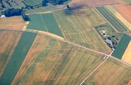
Yellowing crops indicated the placement of streets — just as Louvet had seen from the ground some four centuries earlier — in the Gallo-Roman settlement near Vendeuil-Caply (Oise).
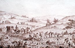
Archaeological excavation at Vendeuil-Caply around 1800, as it was rather haphazardly practiced at the time. Etching by Naudet.
Long before the invention of the airplane
Well before aerial photography, certain researchers took note of the sites of buried remains. Perhaps there were variations in the color of crops and of the soil. In France, as early as the seventeenth century, texts mentioned phenomena that revealed the location of buried remains: descriptions of specific anomalies revealing ancient human habitations in moors and uncultivated areas, whether these consisted of differing levels of dampness on bare ground, or anomalies in the growth of grain. Thus, in his Histoire et Antiquitez du pays de Beauvaisis, published in 1631, Louvet said the following about the location of a buried Roman town at Vendeuil-Caply (Oise):
"When this countryside is sown with wheat, one can still see the extent and the location of the streets where the wheat is shorter, than the place where the houses were built"
A lithograph by Daumier imagining Nadar taking photographs from a balloon. Photographic archives of the Ministry of Culture and Communication.
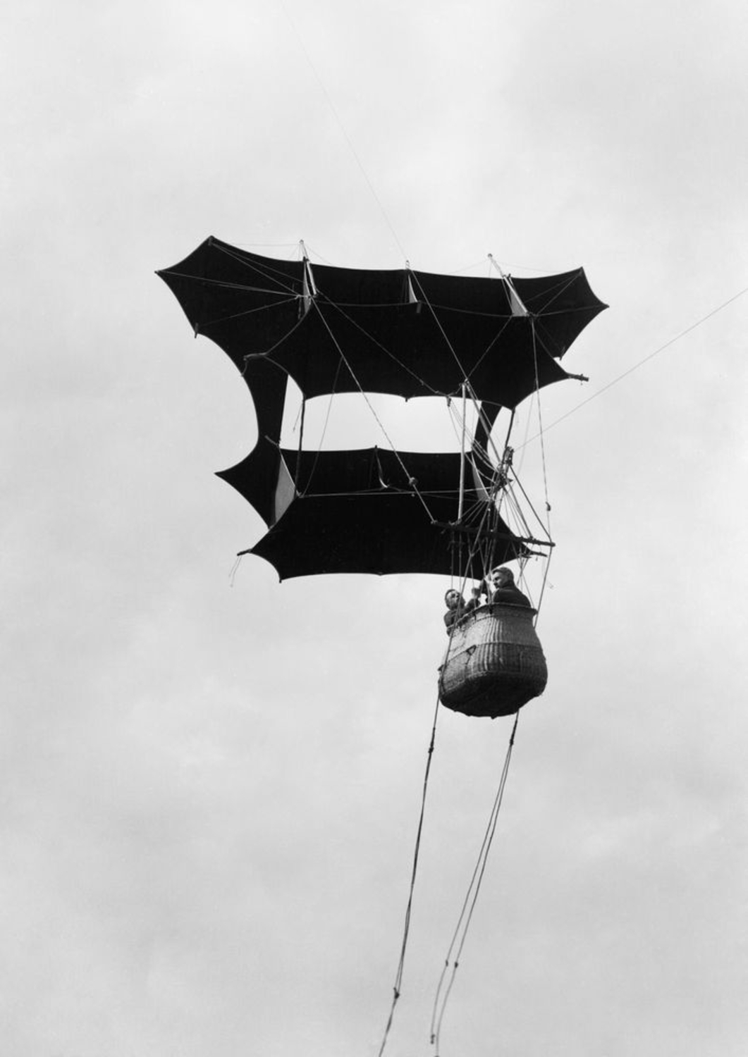
One would think that aerial archaeology only saw the light after human beings had invented the means to lift themselves into the air and to move around at will. The first hot air balloon went up in 1783, and the airplane was invented at the beginning of the twentieth century. In fact, an aerial point of view only became a source of scientific information when it became possible to take photographs. We had to wait until 1858, when Félix Tournachon, known as Nadar, after several failed attempts, took his first aerial photograph eighty meters above the town of Petit Clamart in the suburbs of Paris. From his balloon in 1852 in the United States, John Wise discovered traces of a tumulus in Ohio — which he was unable to find later on the ground, because aerial photography had not yet been invented!


