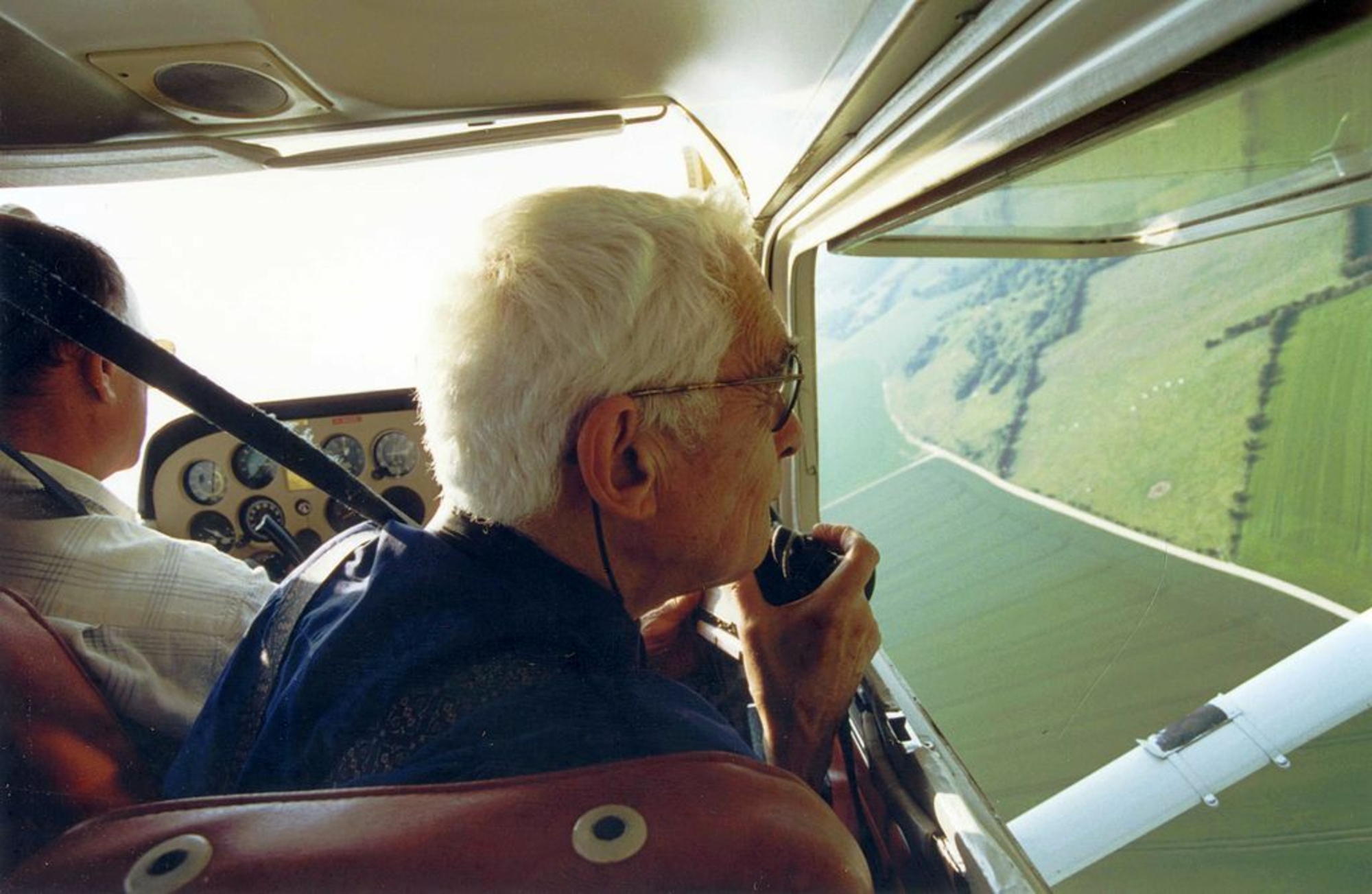
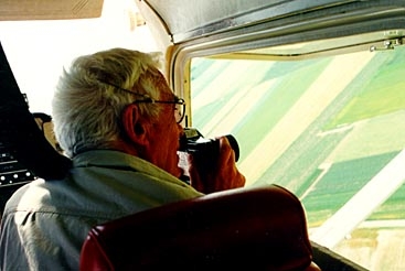
Roger Agache flying a Cessna-type aircraft, with his favorite camera. He is shooting out the open window, leaning slightly back to avoid any vibrations. Photo: Girard, Abbeville.
Appointed Director of Prehistoric Antiquities for Nord-Picardie on 1 March, 1963, he stepped up his prospecting and test excavations. In July 1968, he was appointed an enthusiastic and talented assistant, Bruno Béart, who would create the maps and plans of the traces of the past identified from the air. In 1975, they published the two imposing plano (45 cm x 32 cm) volumes of the Atlas d'Archéologie aérienne de Picardie [Atlas of Aerial Archaeology in Picardy], which lists the thousands of sites that had been discovered, located on 18 IGN maps with a scale of 1:50,000. In 1978, Roger Agache published La Somme préromaine et romaine, d'après les prospections aériennes à basse altitude [The Pre-Roman and Roman Somme, Based on Low-Altitude Aerial Prospecting], his doctoral thesis, which had been considerably reworked and completed. Its overall scope goes far beyond a regional level and does not content itself with just analyzing aerial photographs. The author places his discoveries in their geographical, historical, economic, and social contexts, comparing them with ancient texts.
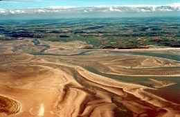
The Bay of the Somme at low tide.
He became a historian of the Picardy countryside, and this would be the goal of his later scientific and pedagogic publications. His bibliography contains over two hundred titles. He has spent several thousand hours in the air, and his thousands of aerial photographs have been placed with the Ministry of Culture, where they may be consulted, for the most part at the DRAC in Picardy.