Late March
A flyover early in the month proved fruitful, since it was done after plowing. Since then, it has rained a great deal. As soon as the atmospheric conditions permit, a new flyover is planned.
Fortunately, the weather forecast calls for clear skies on the 26th or 27th. Having contacted our usual pilot, we reserve a plane for those dates at the flying club, where we are members, and plan to take off around 7 a.m.
Preparing for the mission
To prepare for this new mission, long hours are spent reviewing the sites that were discovered in previous years and closely examining the photographs that have been taken, to determine if certain sites should be the object of new flyovers in order to complete the data that we already have.
If this is the case, we locate them on the IGN map that we will take on board with us, because it is particularly suited to our needs. The scale of 1/100,000 let us cover a fairly large surface, and makes it easy to recognize wooded areas, as well as the shape of villages, waterways, and road and rail networks.
Certain aerial prospectors use the Michelin maps. The cross-hatching on the map indicates zones that need to be prospected more closely, since up to the present they have yielded nothing.
The day before takeoff
We have to contact the farmers that we know and make a trip out into the fields. This will help us better understand how the agricultural work is advancing, depending on the type of terrain, and to prioritize our flyovers.
The day
It's raining cats and dogs on the morning of the 26th. The flight must be delayed, especially since the weather forecast promises a sunny day tomorrow.
The next day
At the same time on the 27th, there is a thick fog… and that means good weather. We have to wait until it breaks up a bit, so we drop in at the weather station.
On the station screens, we can see that it is much clearer in the east. We decide to quickly take off and fly in this direction, before the fog has entirely disappeared.
Equipment check
When we arrive at the aerodrome, the pilot performs a regulation check-up. Armed with his flight log and aeronautic map, the pilot checks the oil and gas levels, and makes sure that the plane is in good working order.
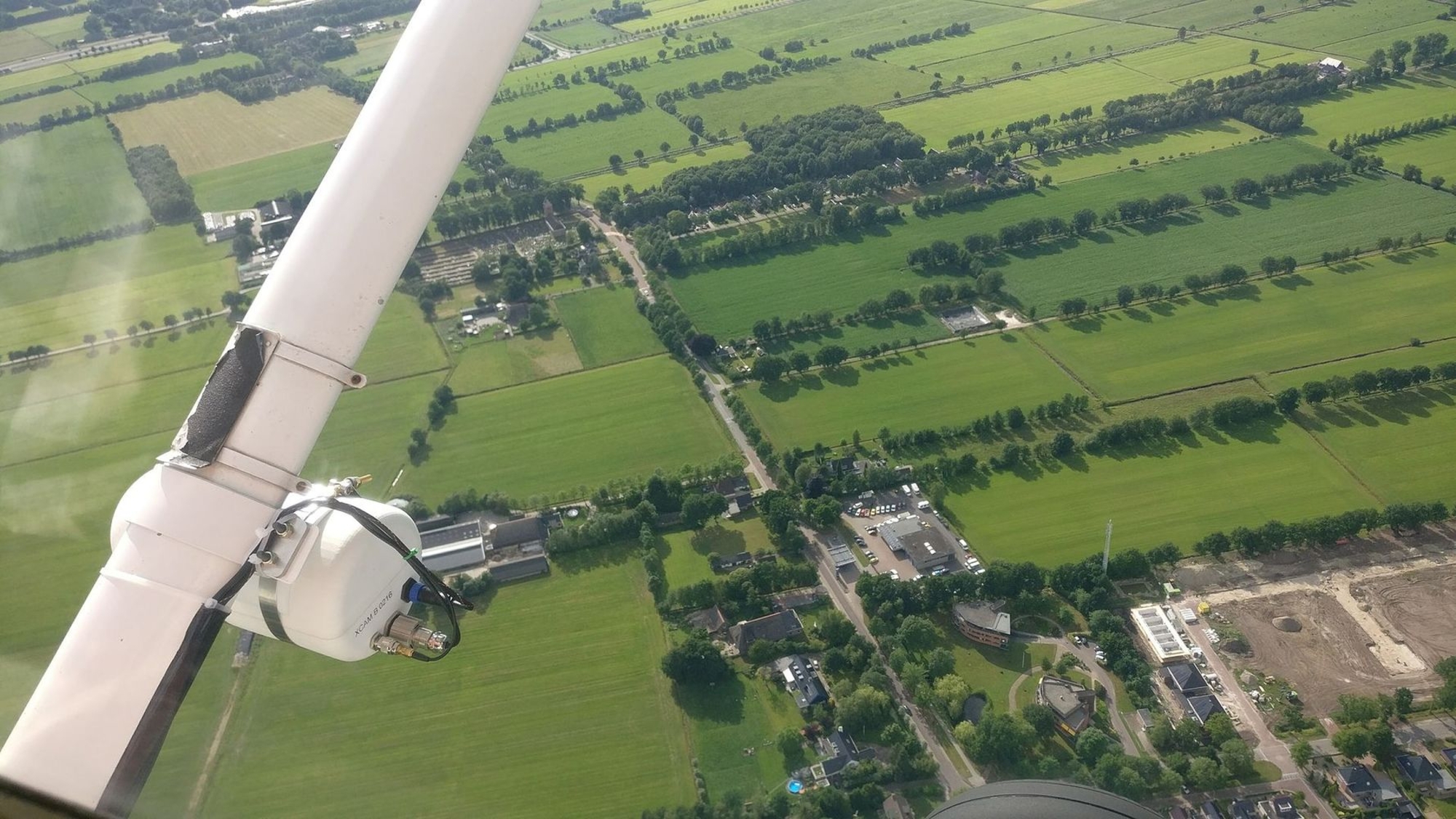
For our part, we check our camera equipment and film supply, and make sure we have our 1:100,000 scale maps, on which we have marked our objectives. We also take along a set of 1:25,000 scale archaeological maps, which we rarely consult while in the air, but which have come in handy on certain occasions.
It is also useful to bring along a tape recorder to record our observations, and a GPS system that will supply us with the geographic coordinates of the sites we photograph. Most flying club planes are now equipped with this system.


Thérouanne in 1539, shortly before it was destroyed by Charles Quint. When preparing a mission, it is helpful to consult archive documents.
Photo: Pas-de-Calais Departmental Archives.
Aerial photo of the town of Thérouanne. We can see, revealed in spectacular fashion, the ancient wall that once surrounded the city.
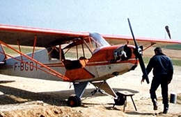
Final check-up before takeoff...