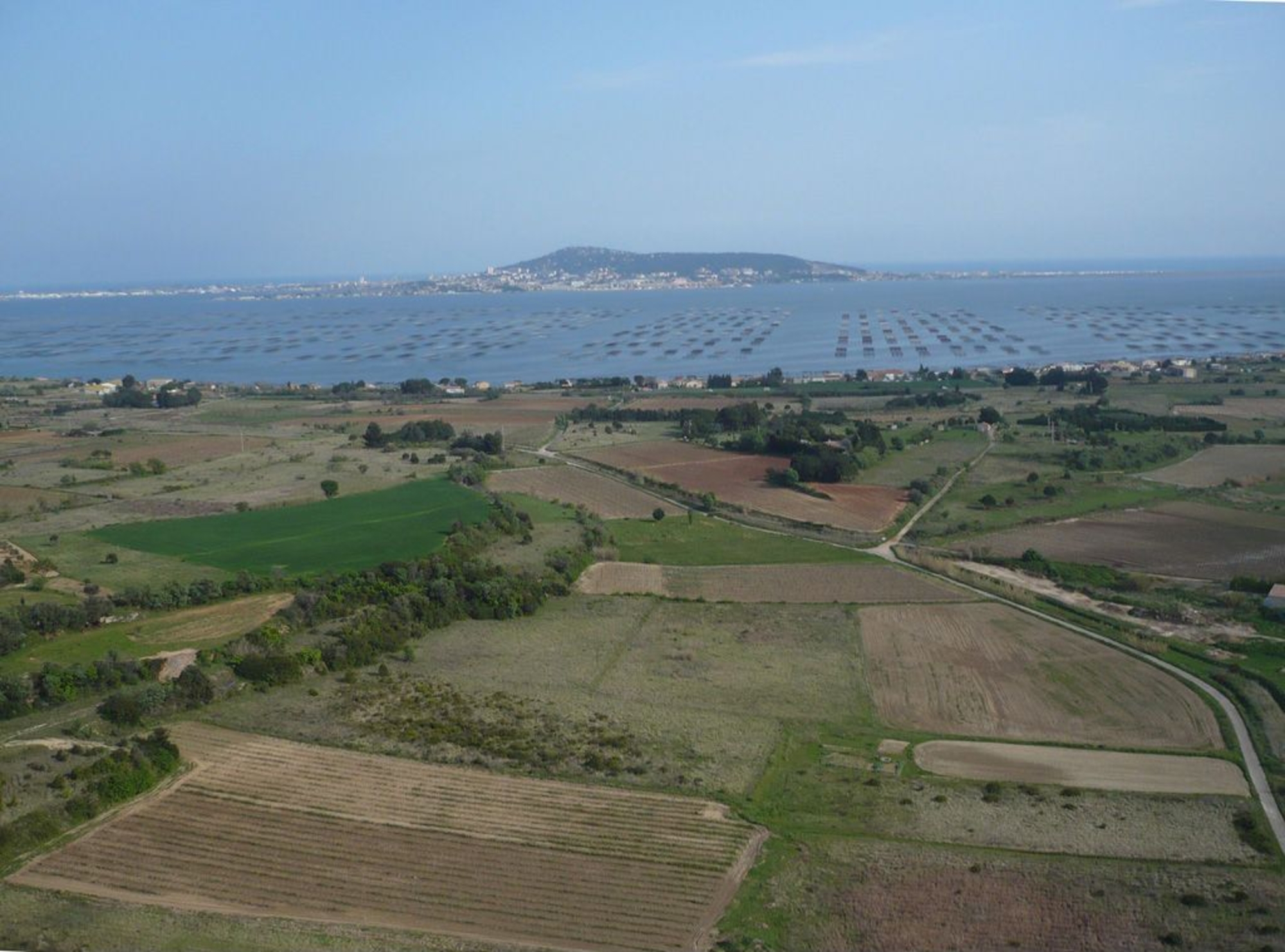

The area around the Loupian villa is bounded to the south by the shores of the Etang de Thau, to the west by a smallish coastal river, the Pallas, and to the north and east by the Collines de la Mourre – Jurassic-era hills covered in garrigue. Rural Roman-era farms tended to focus on developing arable lands of less than a thousand hectares, with highly individualised features.
The land cultivated by villas and farms lies over a substrate of miocene-era marl that is particularly prone to erosion by both wind and water. It takes the form of a patchwork of gradated watersheds ranging in size from several dozen to several hundred hectares. Watercourses, most of them simple wadi, compartmentalised the landscape. Today, their beds are channelled and bounded by build-up banks. Each of these landscape units features a variety of slopes – some sharp, others more gentle and thus more suitable for building on. Today, these coastal lands are a series of terraced plots, typical examples of how the Languedoc lands were developed for wine-growing over the past few centuries.


