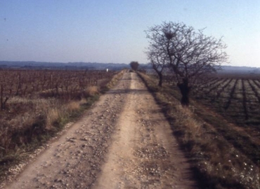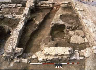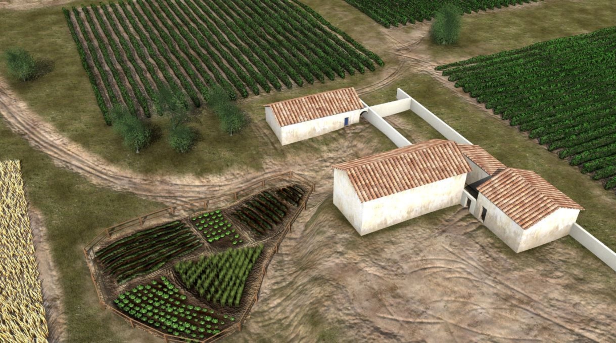
Following the Roman conquest, land was redistributed between the new arrivals and the indigenous upper classes. An initial enclosed farm on the site of the future villa bears witness to the creation of a property ensemble, at a time when rural dwellings were expanding into the watersheds of the surrounding territory. The construction of a different type of farm in the late 1st century BCE marks a turning point, with the grouping together of people at the centre of the estate.