
The Étiolles site is located in the Seine valley, at the confluence between the Seine and a smaller watercourse, the Ru des Hauldres, which descends from the Sénart plateau.
A habitat reaching across both sides of the Ru des Hauldres
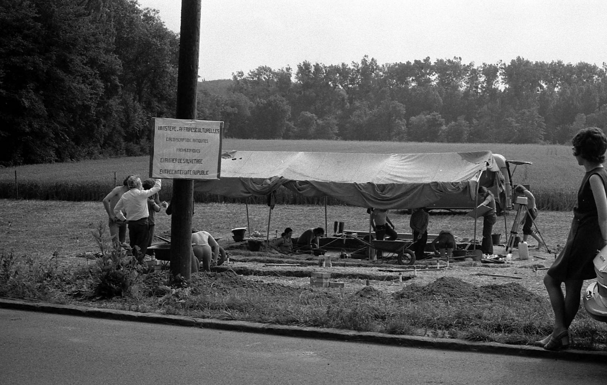
Thanks to excavations and extensive complementary sondages, it was possible to narrow down the area, covering approximately one hectare, where prehistoric levels were most likely to be preserved. The remains of prehistoric camps were then found alongside the Ru des Hauldres. The majority of discoveries were made on the right bank, at “Les Coudray”. Two large areas (or “locus”) of 900 and 300 m2 have been explored, each of which has revealed approximately ten superposed Magdalenian levels, buried in three metres of alluvial deposits. Work is currently underway to establish the meeting point between these two areas and continuity between the levels excavated on each one.
The Magdalenian habitat extends onto the opposite bank of the Ru des Hauldres, to “La Fontaine au Soulier”. Here, the Tardiglacial deposits are much less thick (no more than one metre) and the conditions are not as favourable to preservation as at “Les Coudray”. While the spatial organisation of the remains is generally preserved, organic remains, such as fauna, have entirely disappeared.
Partially explored camps
From occasional sondages we know that the Magdalenians occupied areas beyond those already explored or currently being excavated. Although it is impossible for us to know the site in its entirety, due to the deepening of the Seine riverbed which took place at the end of the Tardiglacial and at the beginning of the Holocene, the stripped surfaces allow us to start to understand the Magdalenians in their habitat and to reconstruct their way of life.
