- Home
- Three Sculptured French Shelters
- Reverdit shelter
- Description
Topography
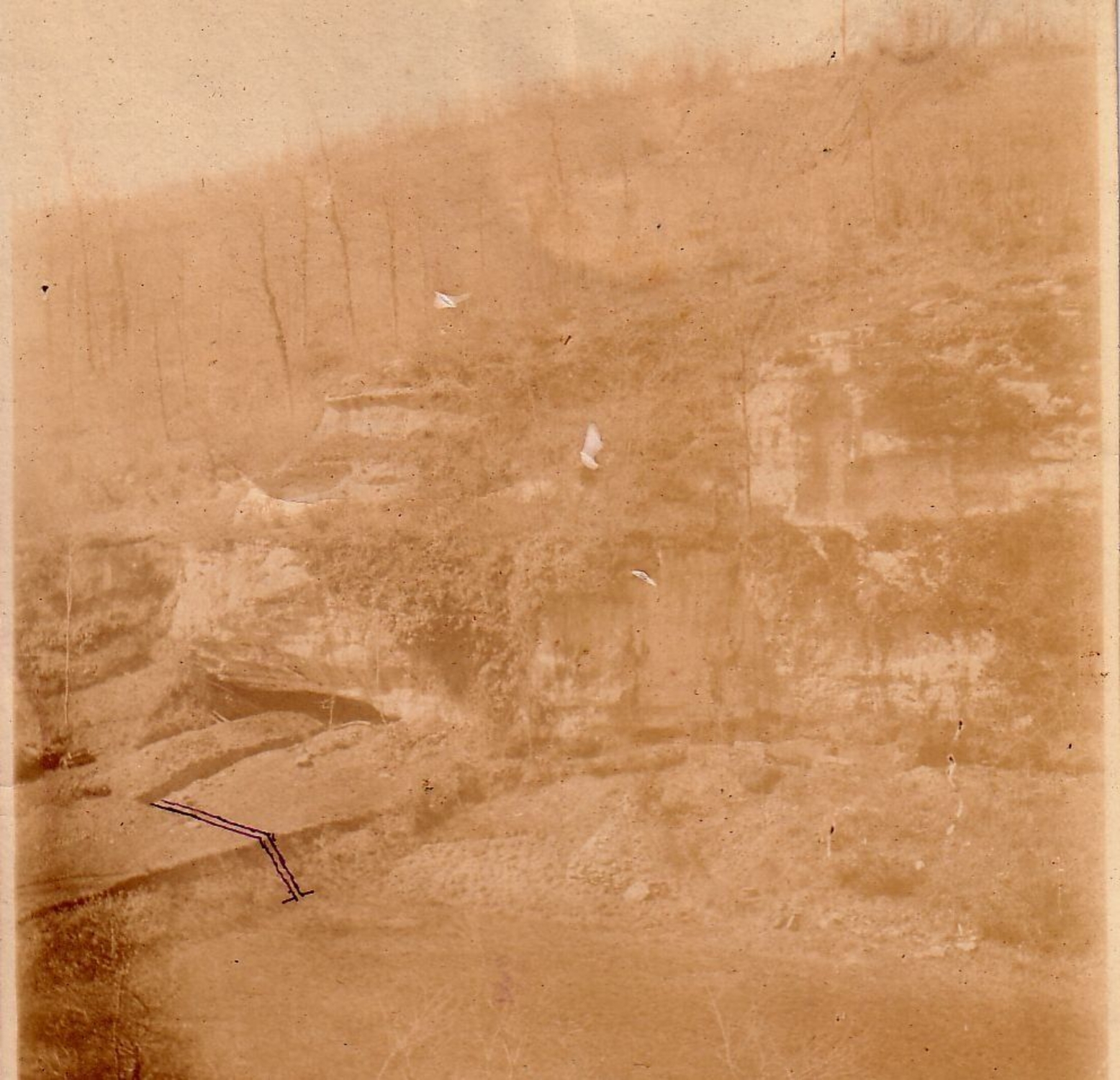
The east-facing shelter sits at the foot of a cliff and faces the left bank of the valley. It is rather small: about 15 metres long, a maximum depth of 5 metres and a height that does not exceed 3 metres. The vault of the shelter has almost completely collapsed, and it is blocked by a cone of rubble containing archaeological levels. Very likely the site continued in this direction. A gently-sloping terrace extends out in front of the shelter.
Chrono-stratigraphy
The site's occupation is only partly known, since nothing or nearly nothing has survived from Reverdit's excavations. Comparing the stratigraphic data from various researchers appears to indicate three archaeological layers. The recent re-examination of archaeological material and the initial Carbon-14 dating results show that the site was visited at several different occasions, starting in the Badegoulian period, then in the Magdalenian, particularly the Lower Magdalenian (15–13,000 years BP).
Archaeological context
The archaeological material from the Reverdit excavations has been lost, and those of the Delage campaign have been mixed together in such a way as to make characterisation of the various occupations difficult. A number of hearths were found. There is abundant and various material, mainly consisting of stone working and animal remains, with some traces of bone working and a few pieces of decorative elements and portable art. All this evidence points to lengthy and/or repeated occupation of the site.
Wall art
Nineteen stone blocks decorated with animal figures and abstract designs were discovered by Franck Delage. However, the frieze at the back of the shelter was not uncovered until 1923 by Marcel Castanet, probably due to vegetation that concealed it. It has altered significantly, and has given rise to multiple, sometimes contradictory interpretations. Recent analytical efforts have isolated with certainty four sculpted animal figures and traces of an initial sculpted group.


