- Home
- Discover the sculptured rock shelters
- Research
- Methods for analysing rock art
- Analytical Mapping
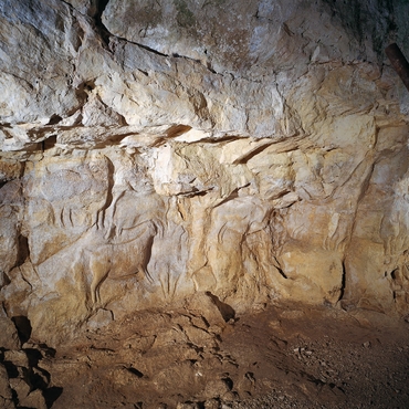
Analytical mapping is the first step that is essential to any scientific study of rock art. Through analysis of stigma affecting the wall (natural and man-made, old and new), it allows for a correct reading of the artworks. It is a genuine cartographic effort that requires a caption for each type of record found. The intersection of several views of a single mapping is needed to ensure greater objectivity.
Two separate techniques are used, depending on the sites studied.
Data can be recorded on sheets of polyethylene film, as was done at Roc-aux-Sorciers. The sheet is placed on a light structure positioned close to, but not touching, the wall. For stone blocks, the sheet it is placed directly on the surface, after agreement by the restorers. Each element to be noted, illuminated by a portable light, is plotted on the film. The map is then imported into drawing software and broken down into layers depending on the nature of the stigma. It is sometimes accompanied by a 3D model that reproduces the sculpted shapes.
For preservation reasons, digital mapping via video-projection was used at the three other sites. The information is entered using a graphic tablet connected to a laptop computer, which is itself connected to a video projector projecting onto a plane parallel to the wall. The mapping is conducted by at least three people (one to work the graphics tablet, one to adjust the lighting, and one to indicate which elements to map), which means comparison of viewpoints.


