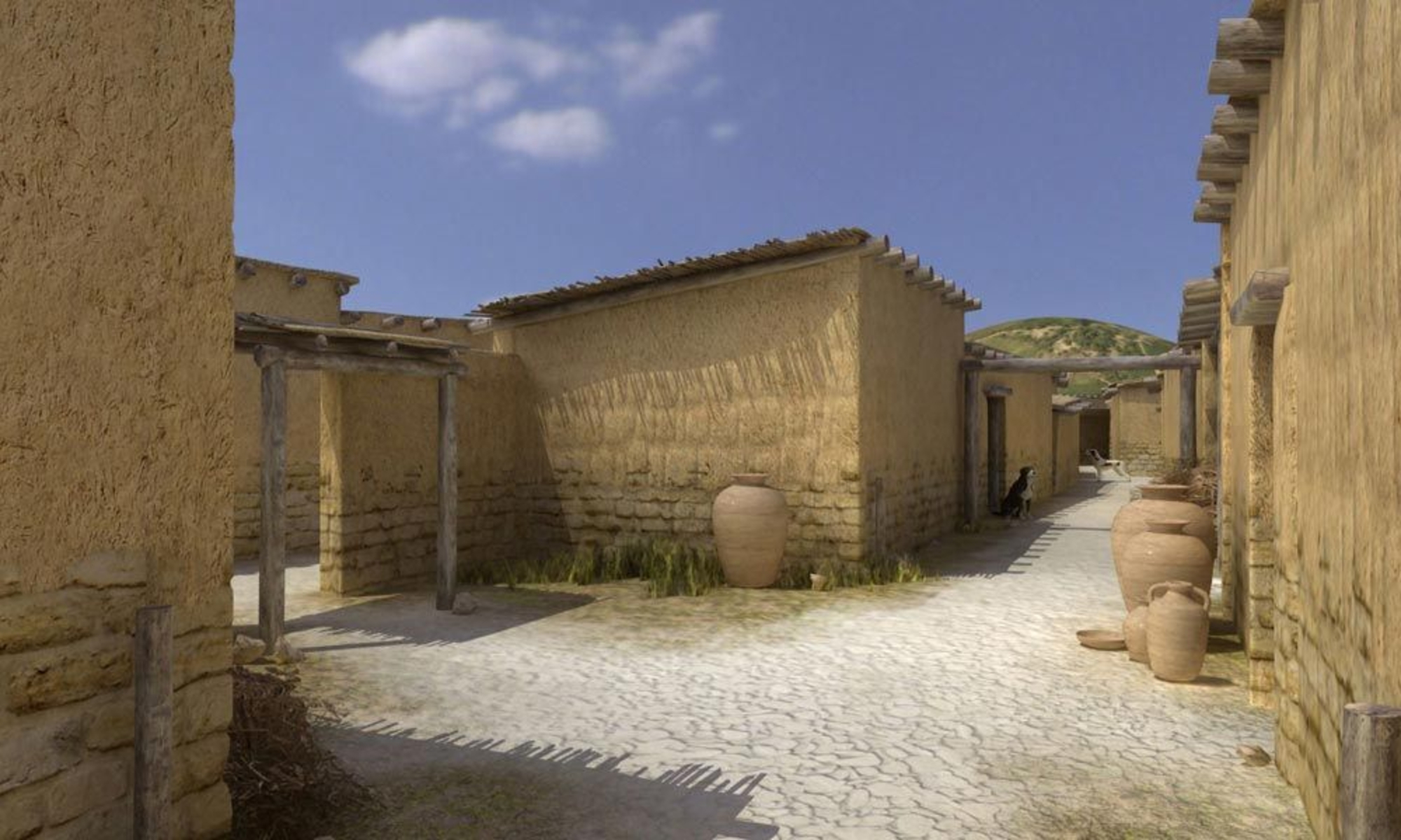
Streets and open areas – essential elements in the town's organization – punctuated the urban landscape. Excavations have revealed that these elements go back as least as far as the fifth century BCE, and are thus connected with repairs to the fortification around 450 BCE. The layout of the protohistoric town combines two organizational principles that can be seen elsewhere in southern Gaul in the protohistoric period – a concentric layout (like Martigues) as well as an elongated layout, as can be seen in Nages II. The concentric layout was given concrete expression by a triangular central core that echoed, in reduced form, the shape of the rampart. This core was delimited by three main streets that accommodated most of the traffic in the distribution of the houses in the triangular core, which were arranged in very elongated east-west blocks separated by cart paths and drainage alleys. These three axes also controlled access to the town. Dead-end streets ending against the rampart served the houses that were built against the fortification.We can see that there was very little north-south communication.
These roads, which were public in nature, were maintained on a regular basis. Built in large part of pebbles gathered in the vicinity of the town, they were periodically refilled and raised, thus echoing the changes to the housing lots. However, the streets and alleyways also served to collect, channel and drain waste water. In certain cases – mainly in the alleyways and dead end streets – they were also used to accommodate private activities, such as kitchens and workshops, that extended beyond their domestic settings. A few open spaces may be thought of as squares. However, they were not located in the center of the town, but rather in the vicinity of its gates. This is explained by the fact that they were used as cattle pens, and perhaps also for maneuvers and cart storage.


