- Home
- A wattery landscape
- Between land and sea
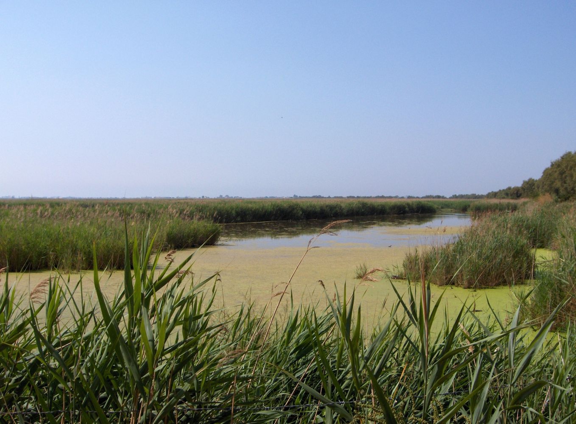
The wattery landscape
The ancient port of Lattara is located about five kilometers south of Montpellier in the French département of Herault, which is part of France's Languedoc-Roussillon region. Today, the archaeological site – which sits between the lagoon and limestone hills covered in scrubland vegetation – is almost completely surrounded by the modern town of Lattes. Only the southern portion of ancient Lattara is flanked by a protected natural area and the Méjean Lagoon. To the east is the Mauguio Lagoon, and the Arnel Lagoon lies to the southwest. The Lez – a coastal river that played a major role in the history of the ancient town – flows to the west of present-day Lattes.
Between land and sea
Lattara was built in a landscape of lagoons. Recent research has revealed that, from the time it was built, the city was mostly or completely surrounded by water. To the south, the waters of the lagoon lapped against the original rampart, while to the east and west two branches of the Lez River flanked the city's fortifications. Inside the coastal bar, the lagoons – which were larger in earlier times – formed a nearly continuous stretch of water between the Rhone and the Gardiole hills. Pomponius Mela called this interior sea the "lagoon of the Volcae ". The "castellum de Latara", connected as it was to the Lez River, would have been a town of the river and marshlands.
This close connection between the site and the surrounding waters would play a major role in the town's history, particularly its port. Although the center of Lattara moved north as of the first century BCE, the port and its installations remained in use throughout all of Antiquity.After this, it was replaced by Maguelonne, only to be brought back into service in the early Middle Ages by the city of Montpellier. Lattes then became Montpellier's port until the late 15th century.


