
In 2011, the remains of the British artificial harbour were the subject of a complete survey by a team from the United Kingdom Hydrographic Office (UKHO).
Documenting the remains of the Arromanches artificial harbour
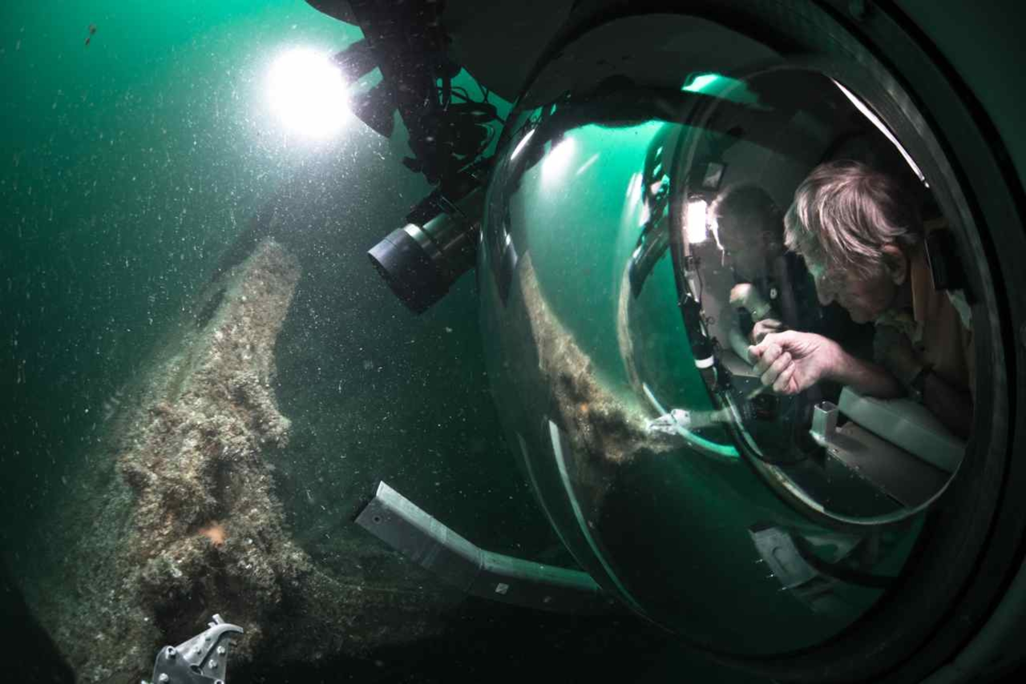
A team of hydrographers from the United Kingdom Hydrographic Office (UKHO), conducted a survey of the remains of the artificial harbour installed by the British off Arromanches. This operation, baptised the “Mulberry survey”, was led by hydrographer Chris Howlett over a period of two weeks in late September - early October 2011. Mulberry A, intended for the Americans but destroyed by the storm of 19-21 June, had already been studied in 2001 by the NHHC of the US Navy. Mulberry B had already been the subject of a survey by the French Naval Hydrographic and Oceanographic Service (SHOM), using a side-scan sonar, in 1993. The 2011 mission aimed to update this data and obtain higher quality images, by using both a multibeam echo sounder and a 3D laser scanner.
Research results
The operation was not able to conduct a complete survey of Mulberry B remains because data acquisition was impossible in the eastern portion of the artificial harbour, due to the presence of fishing gear. Elsewhere, the remains of the Phoenix caissons, blockships and the interior elements of the artificial port were recorded. On the periphery of the harbour, the remains of the Bombardons were also observed. These floating steel breakwaters, 61 m long and cruciform in cross-section, had been installed to provide shelter for large ships whose draught prevented them from entering the port. Moored on 13 June, the Bombardons sank during the storm on 19 June and were not replaced. The UKHO located a previously unknown Sherman tank northwest of Port-en-Bessin, as well as several sections of floating roads, between Mulberry B and Port-en-Bessin.

