- Home
- A systematic inventory (2015-2019)
- New geophysical surveys
In order to resolve the ambiguities identified in the pre-inventory established in 2015, the DRASSM led three new research campaigns, between 2017 and 2019.
Organisation of the fieldwork
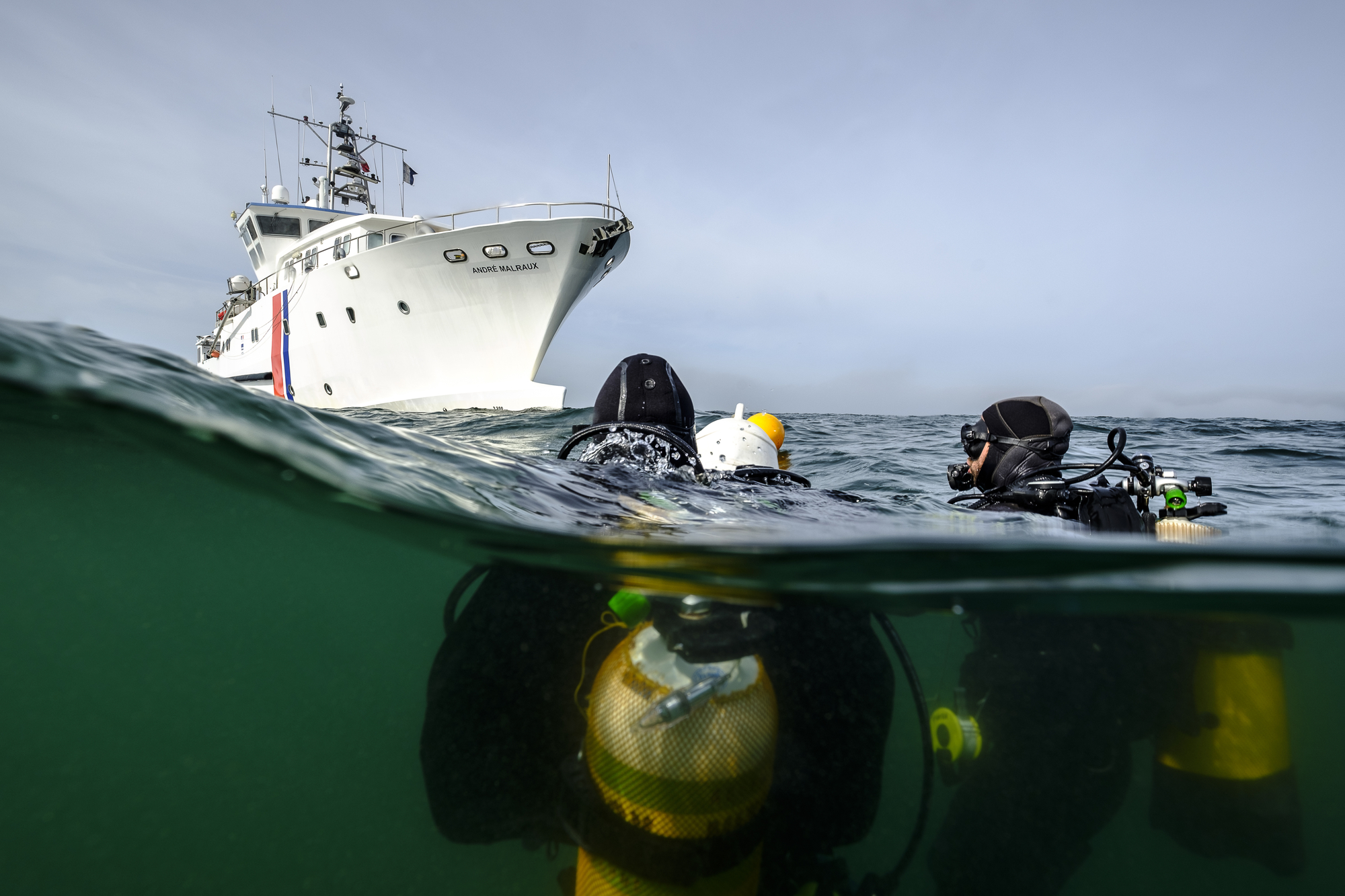
As a result of the pre-inventory phase, three new research campaigns were conducted by the DRASSM in the Baie de Seine, under the direction of Cécile Sauvage, and with the support of the research vessel André Malraux. An initial campaign of two weeks in July 2017 was followed by three-week missions in May-June 2018, and then April 2019. On these occasions, the teams of the DRASSM were accompanied by outside archaeologists (ADRAMAR, Ipso Facto, Inrap), students (Aix-Marseille University, Intechmer), volunteer divers (Caen Plongée, Cherbourg Natation Plongée, British Sub-Aqua Club) and freelance photographers.
Precisely relocating the sites
In order to fill in the gaps left by previous operations, the missions combined geophysical surveys with assessment dives. Over the course of the three campaigns, a total of 117 sites were mapped using a multibeam echo sounder. Approximately twenty sites from previous operations could not be relocated, possibly because the wrecks are now silted-up or have further deteriorated. Other sites did not warrant acoustic documentation. The majority of sites were successfully relocated, though sometimes several hundred metres from their known locations, raising questions about the reliability of certain sources. For example, no remains were found at the coordinates reported for the wreck of the HMS Wrestler. While the previously recorded position of this wreck correctly corresponds to the place where the ship struck a mine on 6 June 1944, it turns out that this destroyer escort was later towed to Portsmouth.
Acoustic data, a valuable tool for site identification
Mapping sites with a multibeam echo sounder provides precise measurements of their dimensions, including heights, and gives an overall image of the preserved remains, which can be compared with archival data. For example, the remains of the troop transport Empire Broadsword, are consistent with the basic characteristics of the ship and with the historical account of its loss on 2 July 1944 after striking two mines. This data has also enabled the identification of many landing craft, by comparing their recorded dimensions and their plans with those in the archives.


