Soulaimaniah
The archaeological heritage of Iraqi Kurdistan is threatened by looting, war and significant urban and industrial development. The Department of Antiquities of Soulaimaniah needed an archaeological map in order to manage and protect its heritage and to reconstruct more than 300,000 years of history.
Its multi-millennial heritage was under threat for several reasons: the region’s significant urban and industrial development since 2011; the geographic and geopolitical situation, which triggered armed conflict in its border regions; and the recent economic crisis, which led to an upsurge in looting. This created an urgent need to protect it by drawing up an inventory of all archaeological, historical and cultural sites. The Department of Antiquities of the Governorate of Soulaimaniah asked the Mission archéologique française in the Governorate of Soulaimaniah, led buy Jessica Giraud, to produce this archaeological map of the region.
Archaeological map: a powerful tool
What is an archaeological map? A broad inventory of all traces of past human societies throughout history: from major archaeological sites such as tells to small nomadic encampments, caves and rock shelters with large low-reliefs, and from canals and karez (irrigation systems) to fortified hills, ancients mosques and small cemeteries.
This inventory uses a computerised mapping system known as a geographic information system (GIS) to show different kinds of data on one map, such as roads, land registry information, planned construction, canals, and looted or destroyed sites. By presenting this information together, it is easier to manage the protection of sites by establishing a dialogue with different actors in the region.
Since it contains all the data, it allows users to study changes in the region’s population, and the history of its land and spaces. It is an essential tool to paint a picture of the region’s history over several millennia, from the Palaeolithic to the present day.
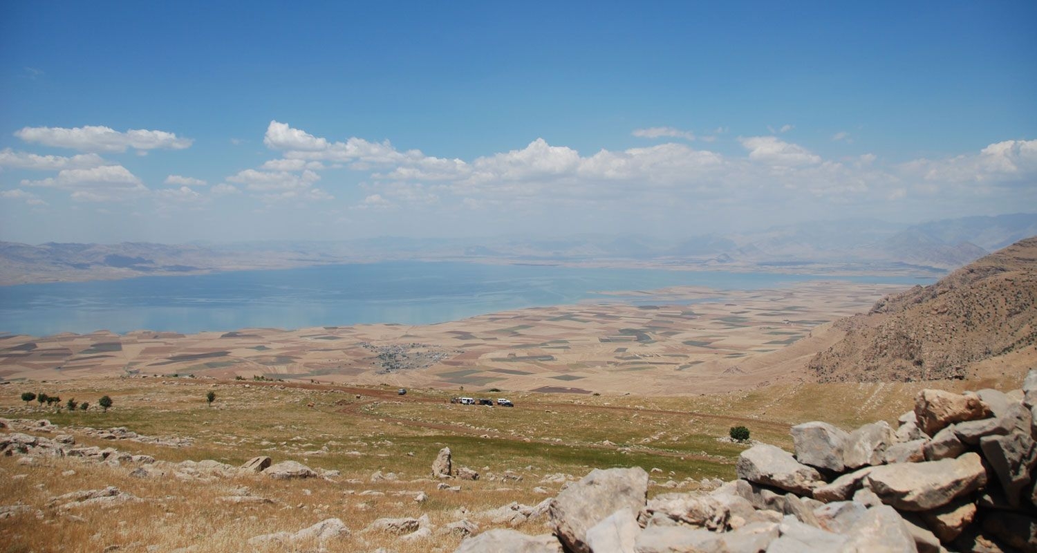
300,000 years of history of the Zagros Piedmont
The surveys began in the north-eastern districts of the Governorate. The use of a methodology combining interviews, test pits and analyses of aerial and satellite images, both recent and historic, led to a fourfold increase in the number of known sites. The mission has already located, mapped, studied and dated more than 240 archaeological sites. There are enough sites to begin outlining an original history of the people of the northern Zagros Piedmont over the centuries, from the mountains occupied by Neanderthal man and small neolithic farming villages to the first Late Chalcolithic towns and small Bronze Age kingdoms, the creation of a frontier under the Assyrian empire, the setting up of regional capitals under the Parthian and Sasanian empires, and the emergence of the region’s current system of Kurdish towns and villages.
The French archaeological mission of the Governorate of Soulaimaniah was formed in October 2012 and received the support of the French Ministry for Europe and Foreign Affairs on the advice of the Advisory panel on archaeological research abroad (CCRAE). The research team currently has twenty members, mostly PhD students and post-doctoral students in archaeology, geography and ethnography. All specialists in a specific subject or period, each member is responsible for one of the mission’s research areas.
Combating the theft and illicit trafficking of cultural property is one of the priorities of the French Ministry of Culture, which pays close attention to these issues, in line with its regulatory responsibility to control the movement of cultural property.
Learn more: