Caričin Grad - Justiniana Prima
Caričin Grad, identified as Justiniana Prima – the city founded around 535 by the Byzantine emperor Justinian –, had many prestigious buildings but was abandoned after less than a century.

The first excavations were carried out by Serbian archaeologists as early as 1912.
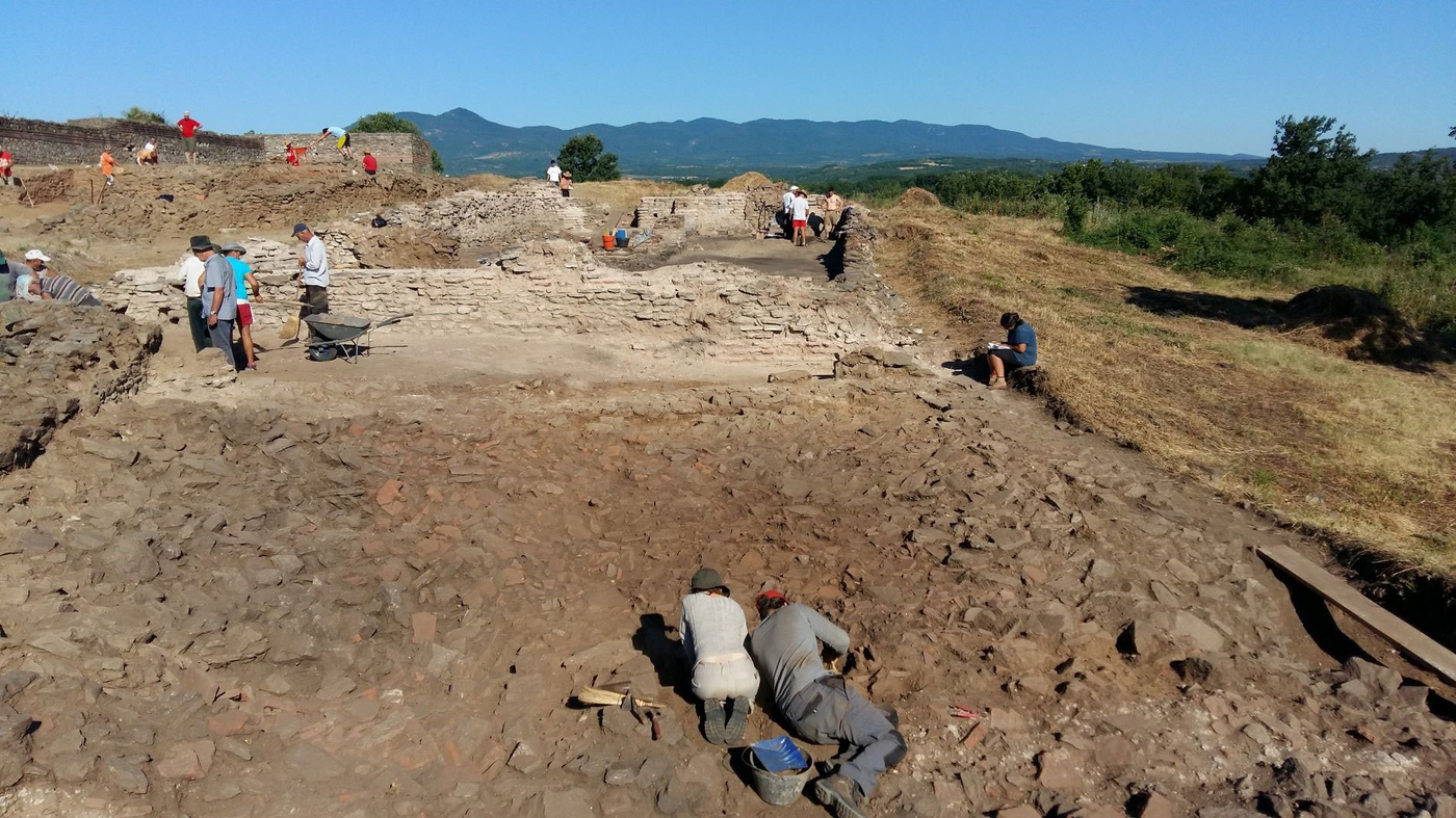
Since 1978, archaeological research has been carried out annually as part of a joint initiative by French and Serbian specialists from the Belgrade Institute of Archaeology and the École française de Rome, with the support of the French Ministry for Europe and Foreign Affairs.
The organisation of the site
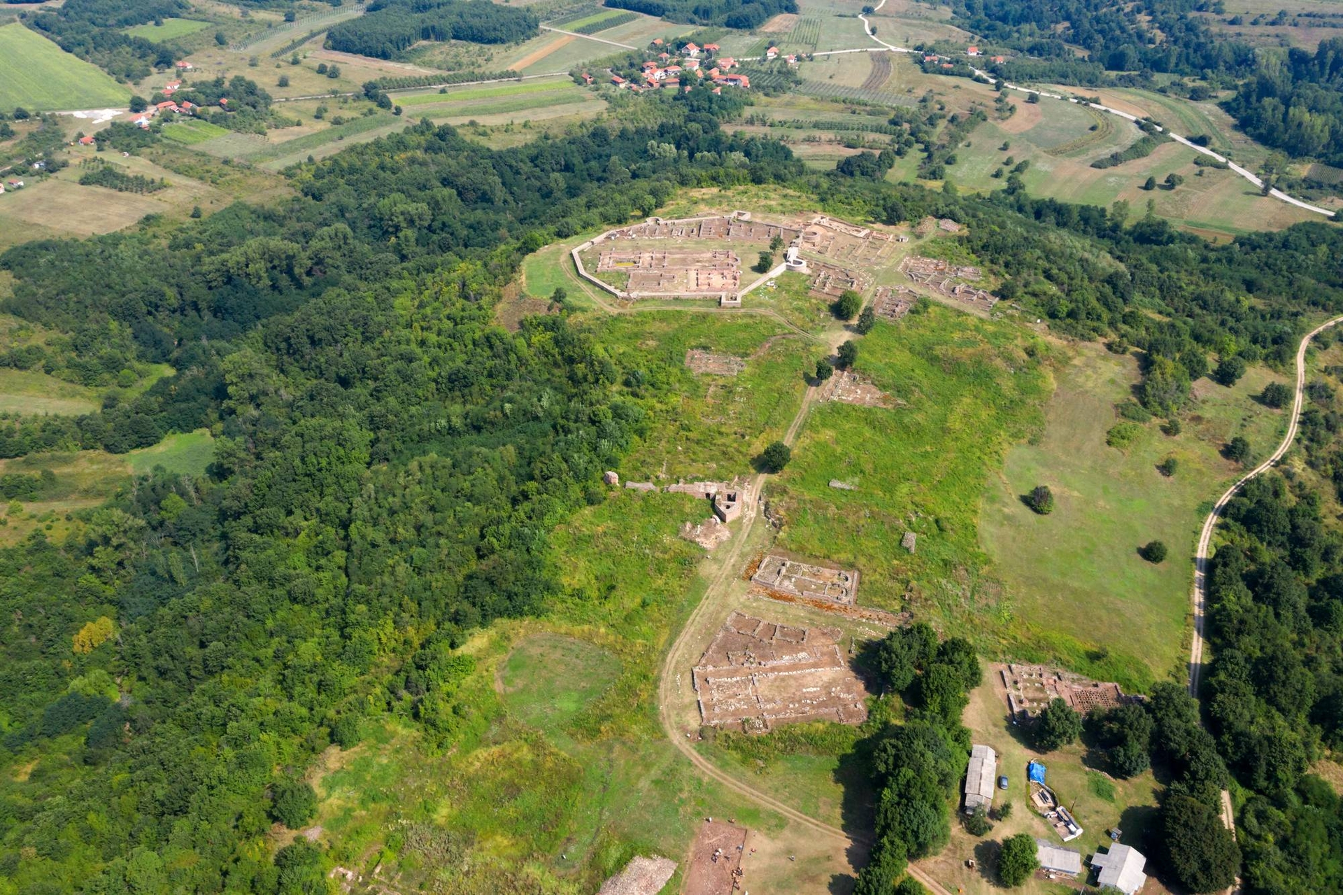
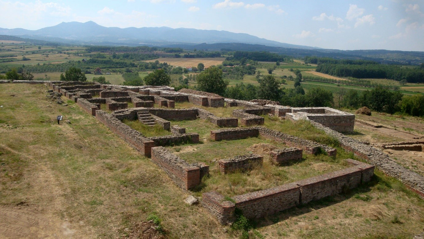
The site explored by archaeologists covers an area of some 9 hectares; organised in relation to its ramparts, it is composed of three main sectors: the Acropolis, the Upper Town and the Lower Town. Built on the orders of the Byzantine emperor, the city is known to have been abandoned after being in use for a short time, probably in response to the Avar-Slav invasions around 615. Examples of new towns occupied for such a short period of time are extremely rare, which is why it is considered a site of outstanding scientific interest. Its brief existence is also particularly interesting since it allows archaeologists to assign a chronology to the objects found during the excavations, including metal tools, pottery and various utensils, and decorative elements used to adorn buildings, such as mosaics and sculpted capitals.
Recent research
Since 2011, a renewed emphasis has been placed on the study of Caričin Grad thanks to various international partnerships and the use of new technologies as part of archaeological investigations. These investigations have shed significant new light on the outskirts of the town and its intra muros sector. The use of topographical LiDAR has revealed the existence of a fairly extensive suburban district, probably protected by a low stone wall, and part of the outline of the aqueduct to the southwest that supplied the town with water. Ground-penetrating radar was also used in various places across the site with help from Wolfgang Neubauer of the Ludwig Boltzmann Institute for Archaeological Prospection and Virtual Archaeology in Vienna. Their joint findings included the remains of a building with a tetraconch plan. Located in the south-eastern part of the Lower Town, it has been investigated as part of a new excavation programme since 2019.
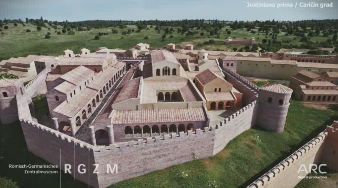
Archaeobotanical and archaeozoological studies have also shed fresh light on the diets of the town’s inhabitants and the types of animals they bred or used for transport and for modifying the site. 3D architectural reconstructions based on the discoveries made during archaeological excavations to date give a striking insight into what this new town built at the heart of the Balkans may have looked like, its approach to town planning and rich architectural heritage.


