Bam
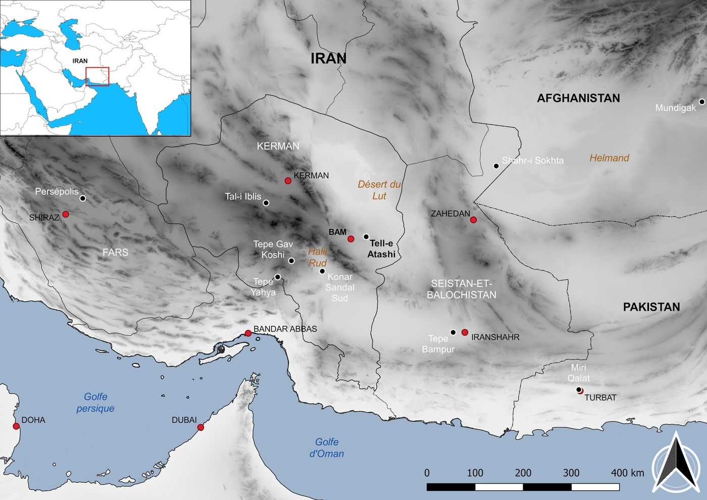
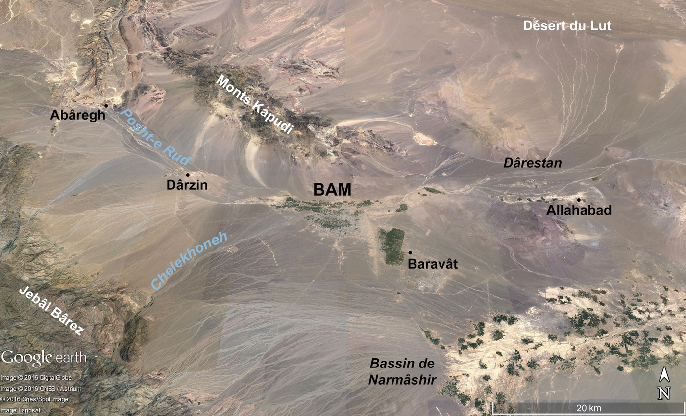
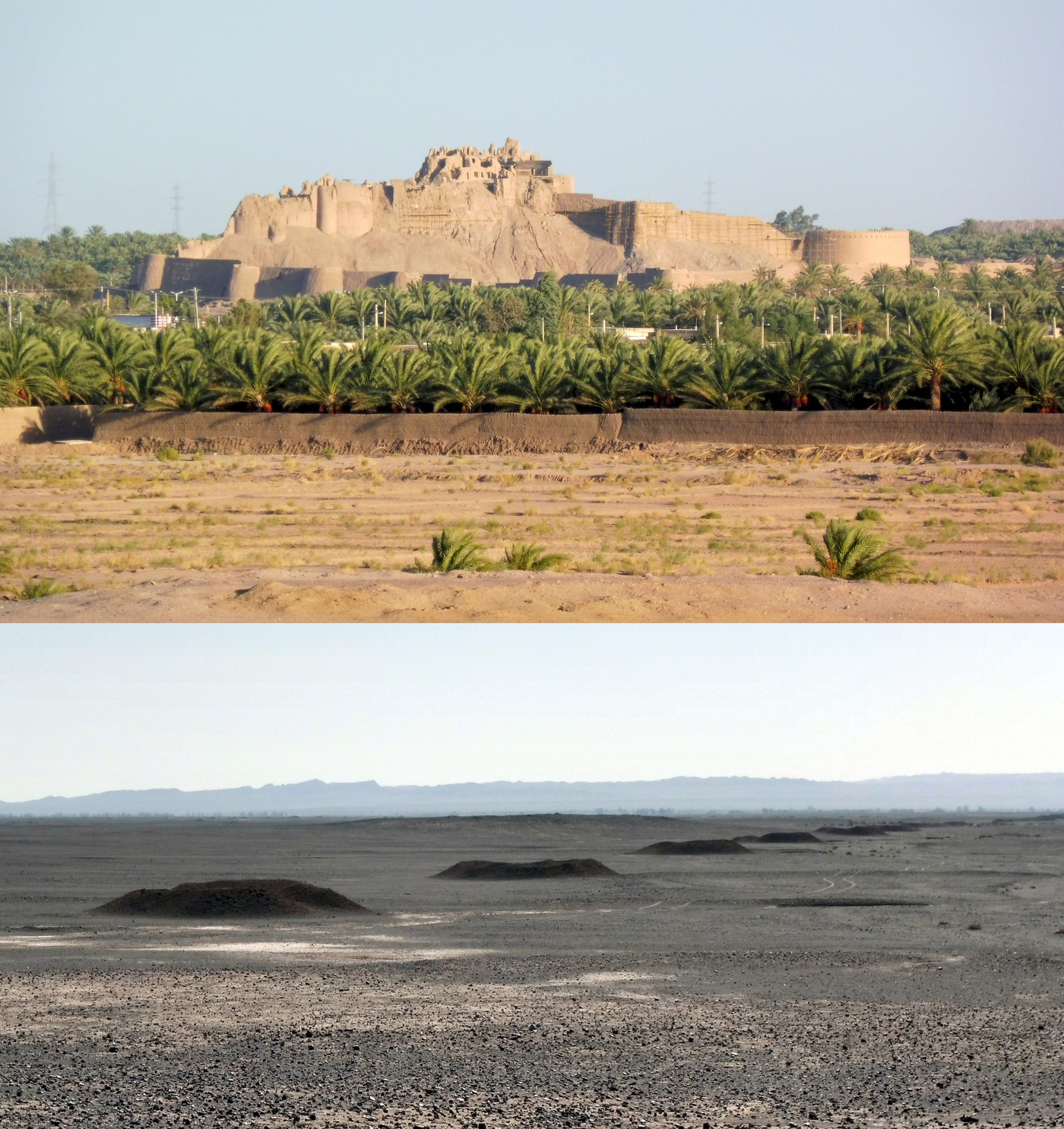
Situated on the southern edge of the Lut Desert, one of the warmest places on Earth, the Bam oasis is famous for its medieval town, Arg-e Bam, which stands at the crossroads of several trade routes. Less well known is the ancient settlement of the region, despite extensive remains, including the first farming villages, the oldest of which date back more than 7000 years.
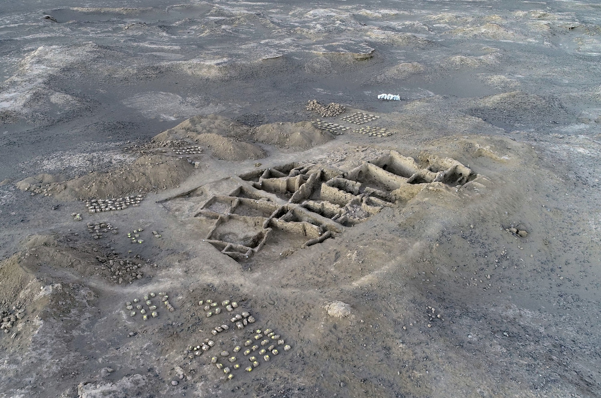
The French-Iranian Archaeological Mission in South-East Iran (MAFISE) studies the settlement of this region from the Neolithic to the Bronze Age – from the building of the first farming villages to the first towns. It carries out surveys and excavations in the area. This research builds on the work of the late Chahryar Adle, who set up the first archaeological programme in this area in 2003.
A multidisciplinary and multi-scale approach
MAFISE takes a multidisciplinary approach to its research. It combines archaeological, bioarchaeological, geomorphological and palaeoclimatic methods and data to analyse and understand the coevolution of the settlement and the ancient climates of the region of Bam-Narmashir, and the means by which this was accomplished. Besides the detailed study of the archaeological sites and the regional settlement of this area, it also aims to determine the role and the relationships between the ancient communities of this region as part of the interaction of archaeological cultures identified elsewhere in the Middle East, Central Asia and Southern Asia, especially the cultures revealed on the Iranian Plateau and in Pakistan. MAFISE is helping to answer questions related to the major cultural and migratory dynamics observed in these areas between the Neolithic and the Bronze Age.
Ancient climate, recent climate
The Bam oasis has a desert climate. Rainfall is extremely rare, temperatures are high and it is buffeted by strong winds. To survive here and grow their celebrated dates, communities in this region relied as early as the 1st millennium BCE on its underground irrigation network – the qanats. The climate was not the same as it is today; around 7000 years ago, it seems to have been wetter. More abundant rainfall made it easier to develop the first farming villages. This is what the palaeoclimatic and bioarchaeological data collected in South East Iran and further into the Middle East also seems to suggest, as does the archaeological data for the region of Bam-Narmashir, which attest to the existence of a large settlement in this period and until the 4th millennium BCE.
Archaeological surveys
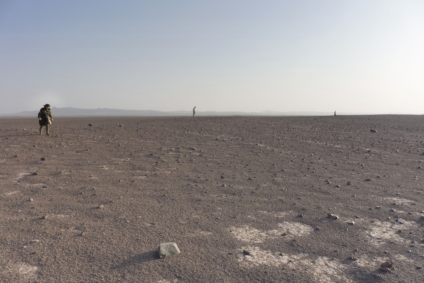
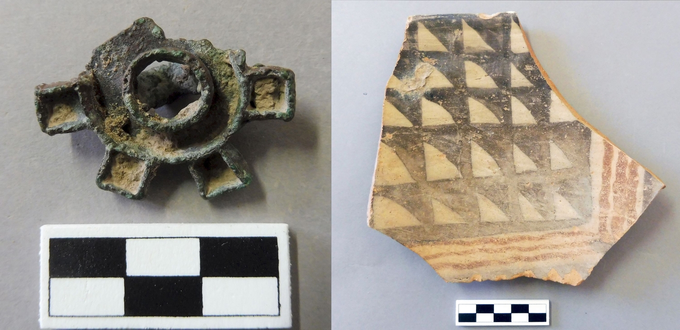
The archaeological surveys performed in the Bam-Narmashir region, particularly towards Darzin in the west and Darestan in the east, have revealed multiple Neolithic and Chalcolithic sites dating from between the end of the 6th and the 4th millennia BCE. The first contain mound (tell or tepe) sites, and flat sites, composed of stones and archaeological objects scattered across the surface of the region. Some of these sites have no pottery, while others revealed undecorated pottery tempered with straw. This type of pottery is characteristic of the Neolithic and the Early Chalcolithic periods in South-East Iran, and the Neolithic in Pakistan. The Chalcolithic sites in the 5th and 4th millennia BCE are often characterised by a much larger quantity of pottery. It is also finer and painted and better fired. Pottery kilns have been identified on several sites dating from this period. In the 4th millennium BCE a new style emerged that included red- and black-painted bi-chrome vases. The region’s first metal seals, in bronze, were also produced in the 4th millennium BCE. Beyond Bam-Narmâshir, the gathering of representative samples during surface surveys of archaeological sites in this region has highlighted similarities with assemblages from other parts of South-East Iran during the Neolithic and Chalcolithic, or at least with those from other sites in Kerman for the Neolithic period and those from sites in Kerman and Balochistan, or even South-West Pakistan, for the Chalcolithic period.
Excavation of the Neolithic site of Tell‑e Atashi
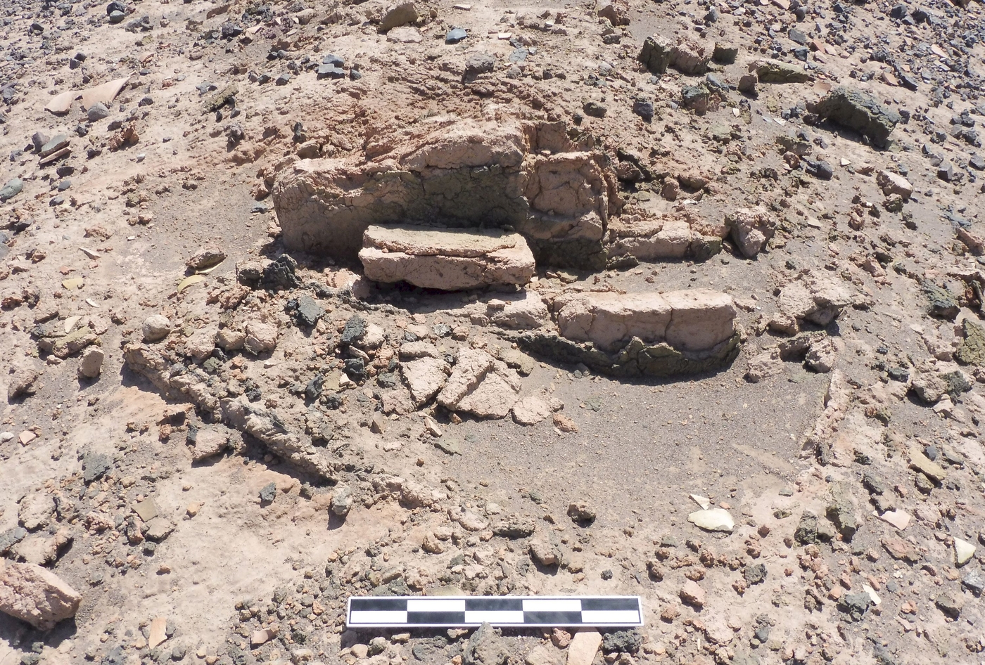
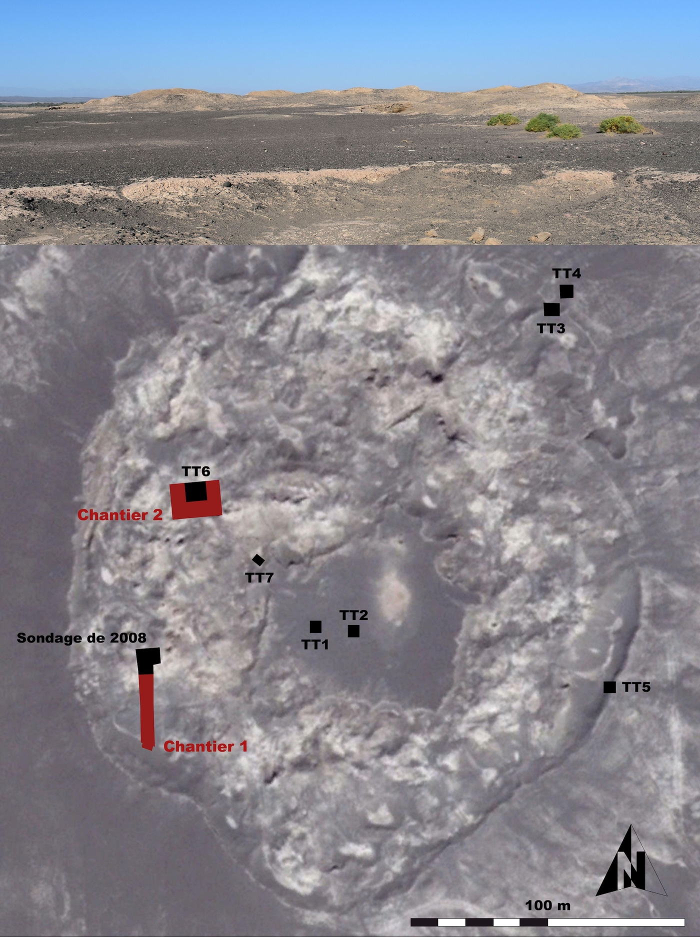
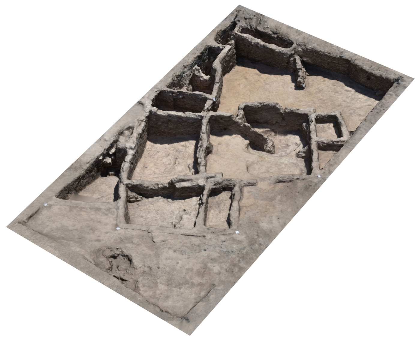
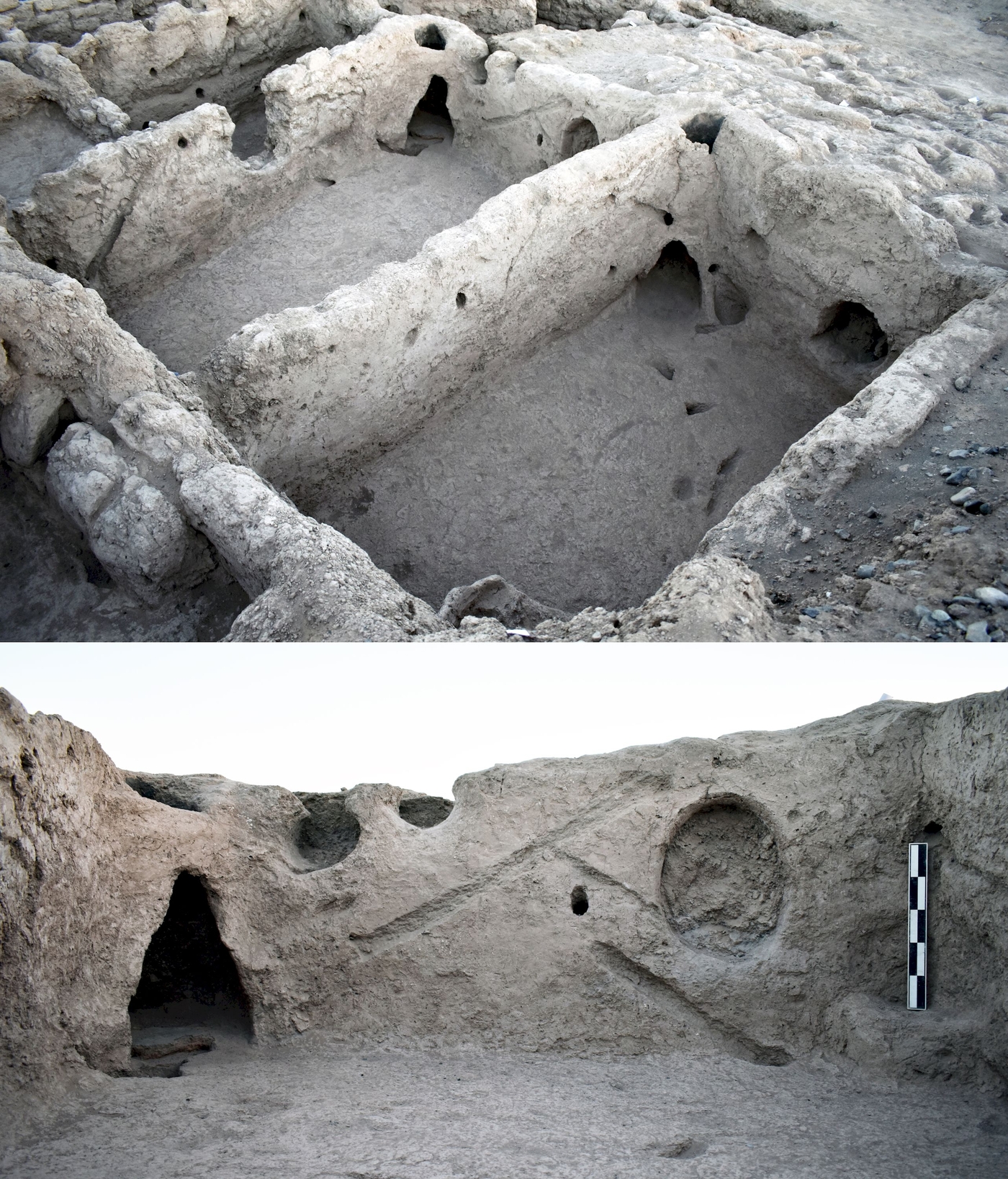
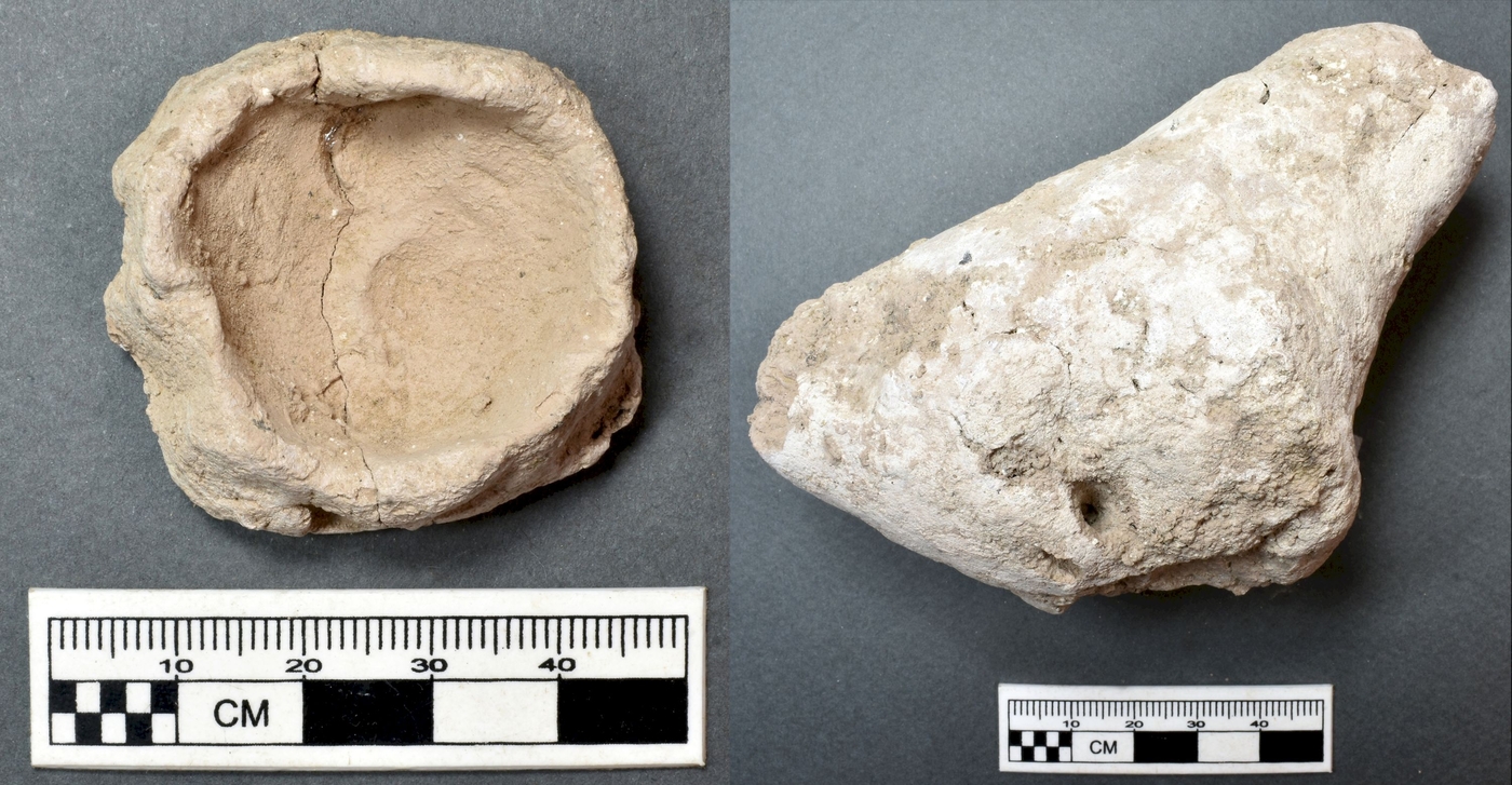
Tell-e Atashi, in Darestan, is a Neolithic site on a mound dating from between the end of the 6th and the middle of the 5th millennia BCE. It is the largest Neolithic site identified to date in the region of Bam-Narmashir. MAFISE has been excavating this site since 2017 with the aim of characterizingl, for the first time in detai, the ways of life of the very first farming communities on the southern edges of the Lut Desert. The excavations have revealed extremely well conserved remains of unfired brick habitations, including rooms with hearths and corner fireplaces. The communities living on the site were farmers. They produced stone tools, millstones, wickerwork, stone personal ornaments and unfired clay objects, including tokens, cones, miniature crockery and figurines. No pottery has been found in Tell-e Atashi, like many other Neolithic sites in Darestan. In this respect, the site is different from other establishments in southern Iran dating from the 6th and 5th millennia BCE, all located in the west, such as Tepe Yahya some 200 km away. This is a relatively unexpected finding given the fact that pottery-making emerged and spread rapidly in Iran between the 7th and 5th millennia BCE. Neolithic layers without pottery have also been excavated at the site of Mehrgarh in Pakistan, some 870 km to the east of Tell-e Atashi. Some unfired clay figurines found at Tell-e Atashi are similar to those from Mehrgarh.
This is also one of the most compelling reasons to study archaeological remains in the south of the Lut Desert. The research carried out by MAFISE in this sector halfway between the Levant and India helps us analyse phenomena observed over long distances. In this respect, in terms of the Neolithic, the archaeological work carried out in Tell-e Atashi and Darestan appear to have already revealed a link in the chain between the Neolithic communities of the Iranian Plateau and those living on the north-western margins of South Asia, helping to shed light on the development of farming from the Fertile Crescent, where it first appeared some 11,500 years ago, to the Indian Subcontinent.
Project supported by the French Ministry for Europe and Foreign Affairs on the advice of the Excavation Committee (Commission des fouilles).
Useful links
- Presentation of the Bam archaeological site on the Unesco website
- Presentation of the Director of the MAFISE in Bam
- Article in French on surveys carried out in the south of the Lut Desert
- Article in French on archaeological research in Bam in 2016-2017
- Bam archaeological mission: A new archaeological research programme in the province of Kerman, Iran


