Ashara and its region
The region of Ashara attests to the coexistence of sedentary populations, living in cities or on irrigated land, with semi-nomadic populations that crossed the steppes, and who were experts in rearing sheep and trading in goods, but also to intervention by the imperial powers.

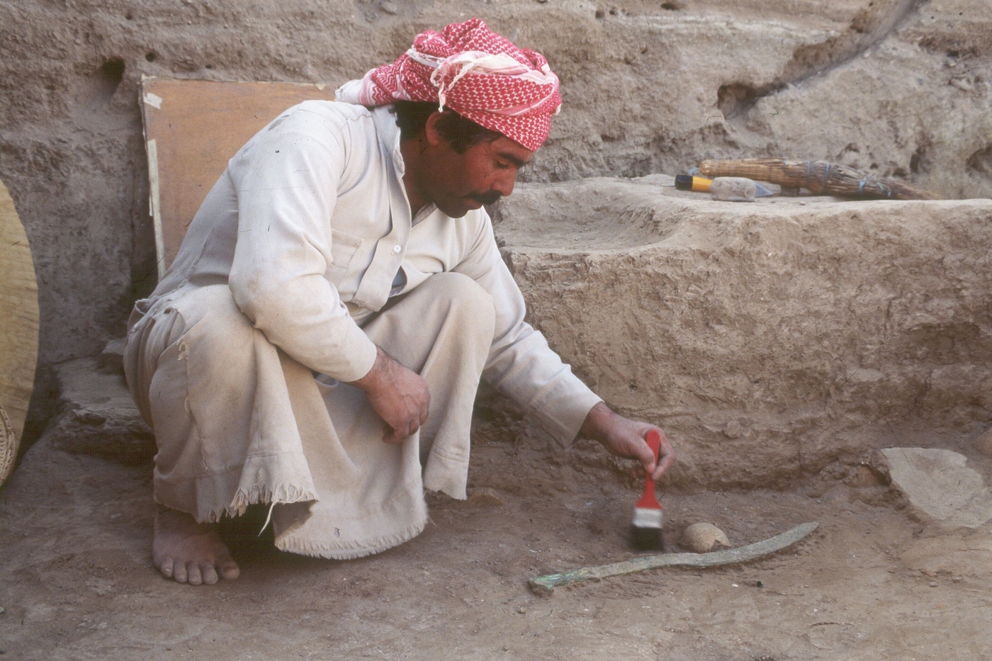
The Tell Masaïkh Mission / "Terqa and its region" project is an umbrella for three separate interdisciplinary archaeological projects, implemented by an international team sharing the same aim of reconstructing the history and evolution, from Prehistory to the Medieval period, of societies in the lower valley of the Syrian Middle Euphrates, in an area around the city of Ashara. The three main activities of the mission are:
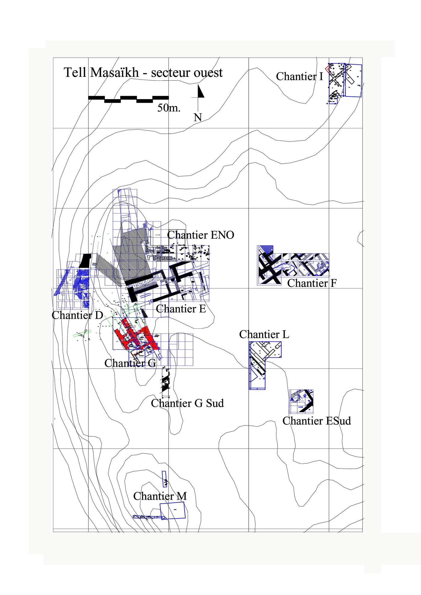
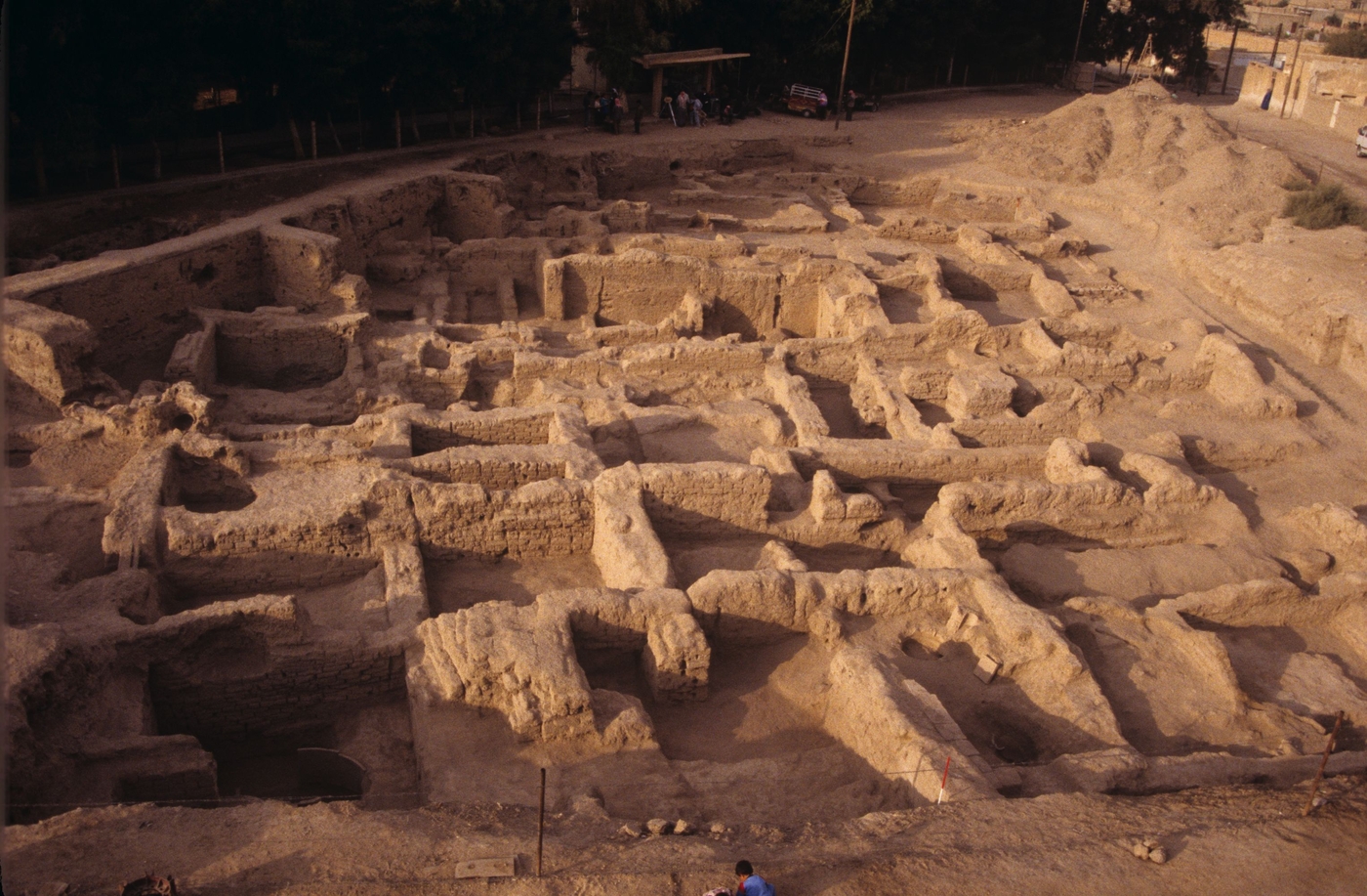
- Tell Masaïkh – Kar-Ashurnasirpal: urban sites from the 5th millennium; 9th–7th centuries BCE, excavated since 1886.
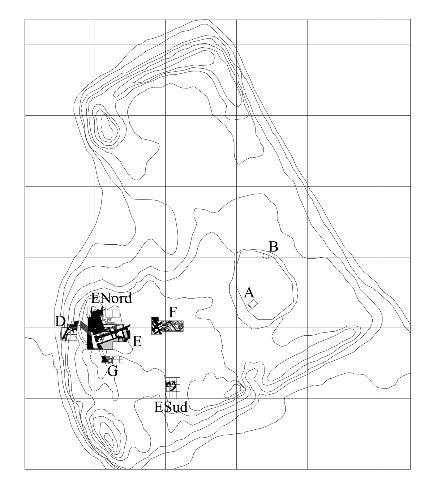
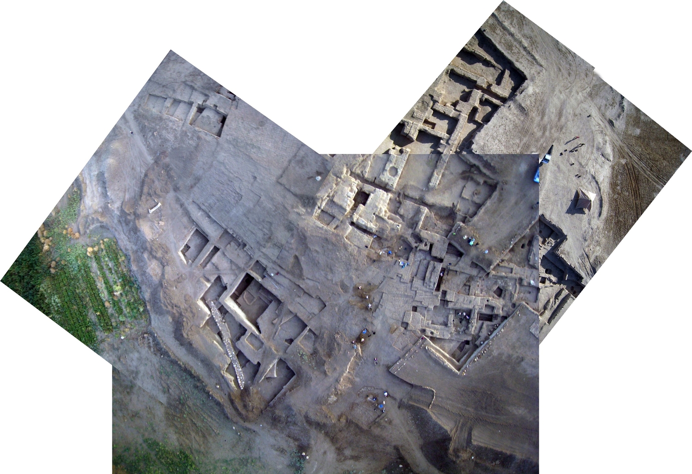
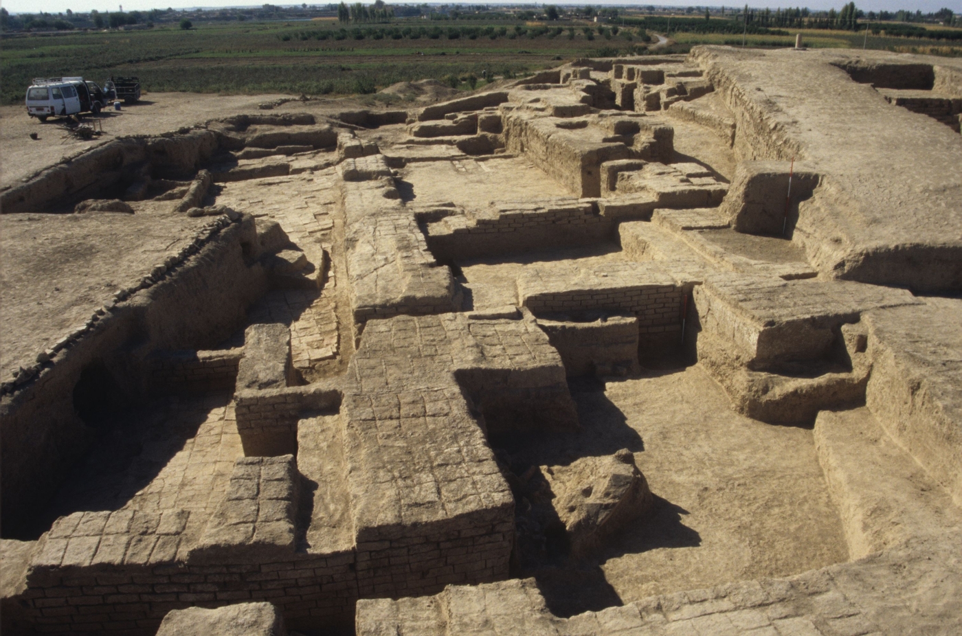
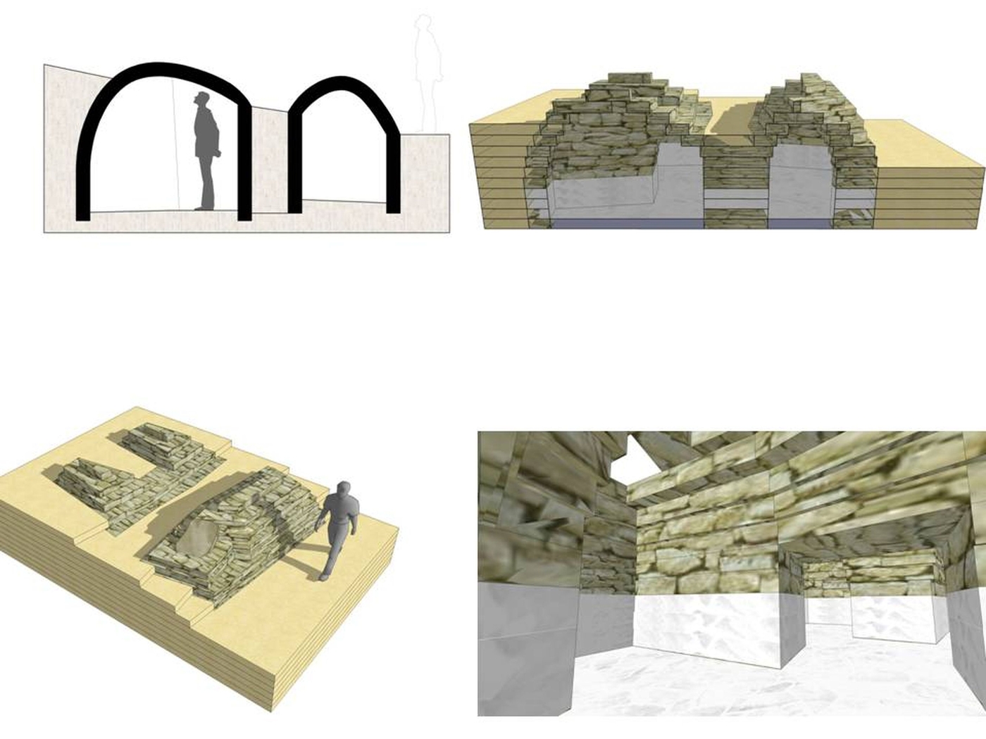
- Ashara - Terqa: Antique city occupied from the 3rd-2nd millennium BCE to the 12th century CE, excavated since 1997.
- Surveys and test pits in the irrigated valley and the steppes, excavated between 1997 and 2007.
Tell Masaïkh / Kar-Ashurnasirpal
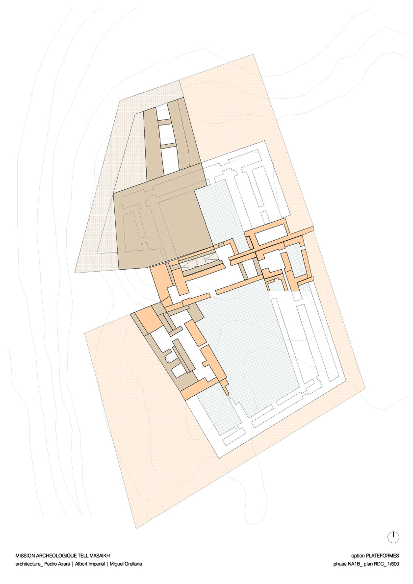
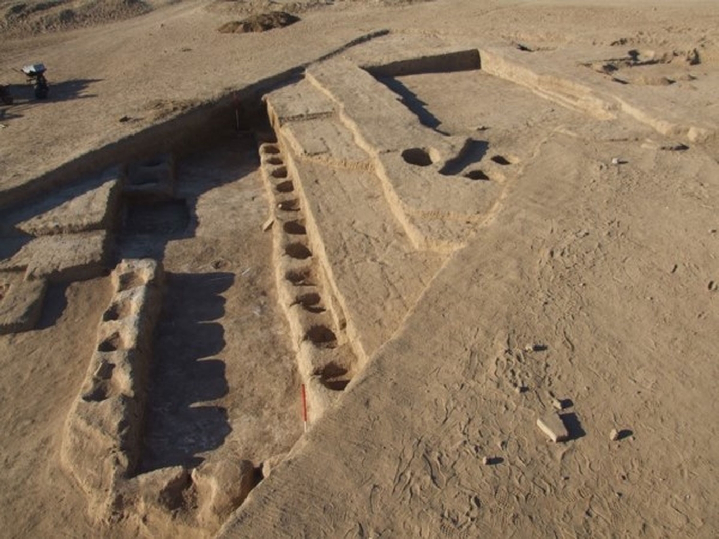
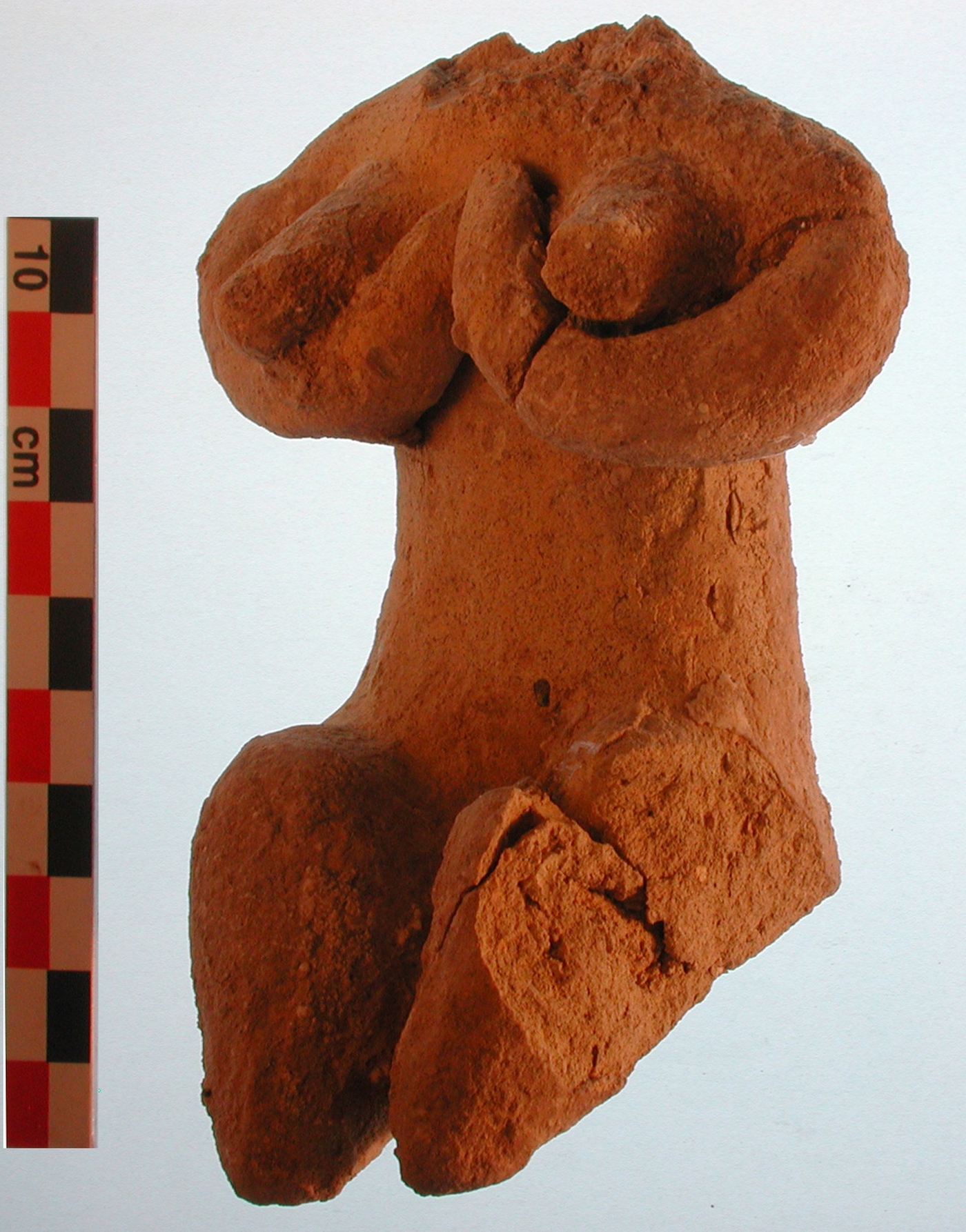
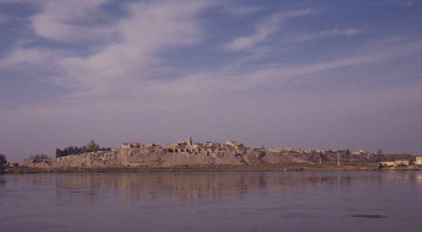
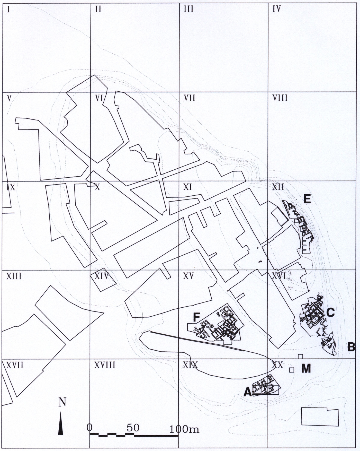
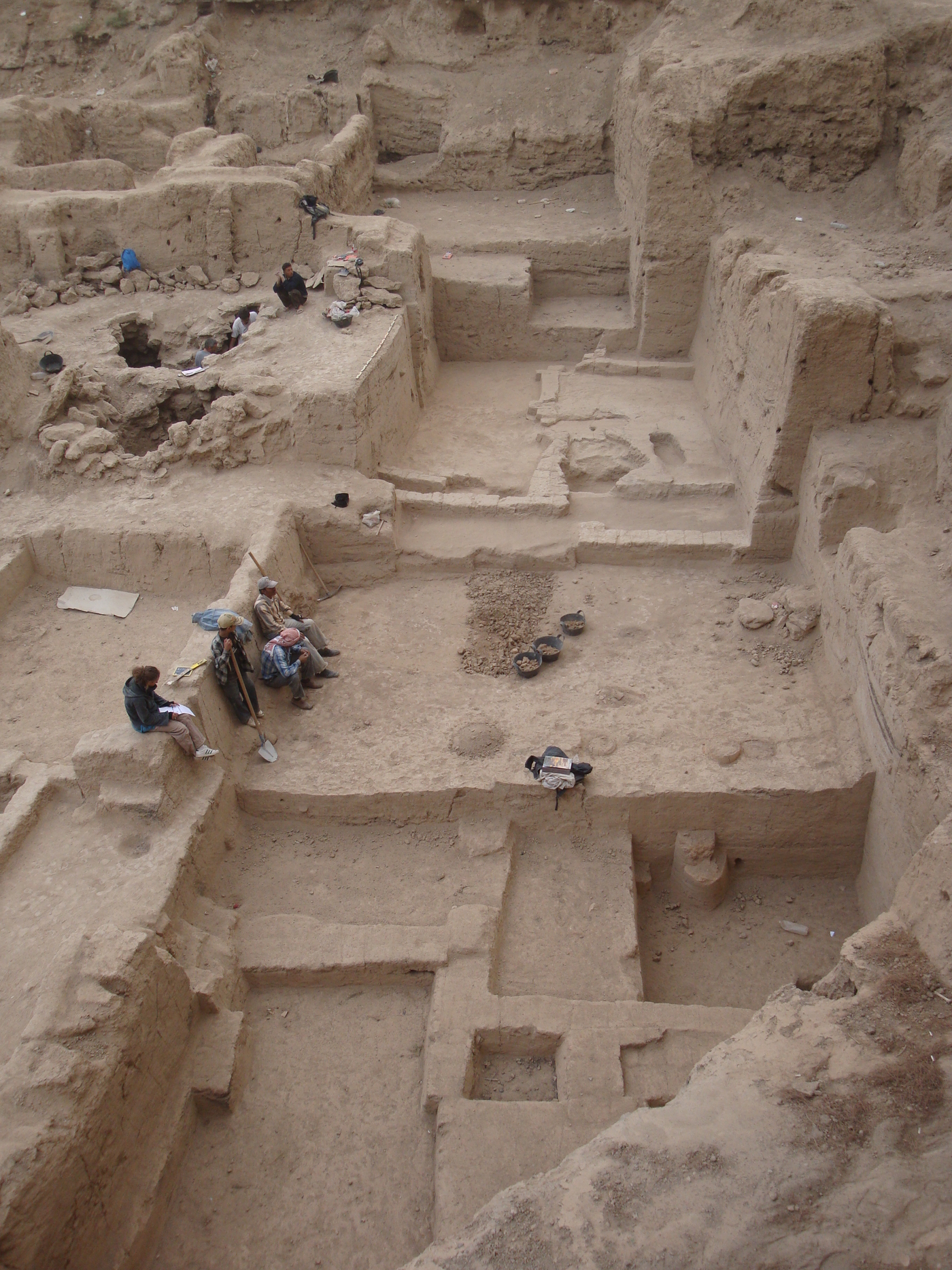
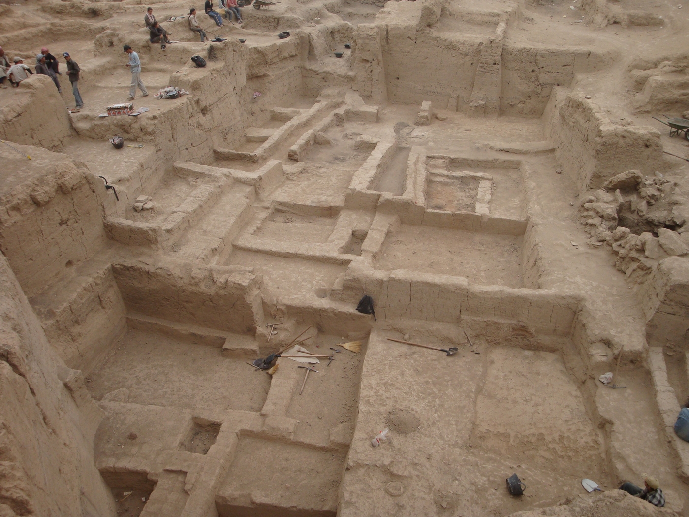
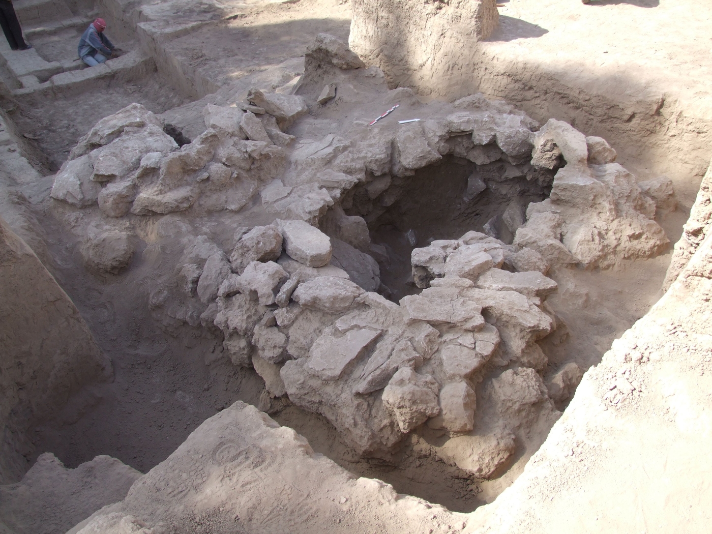
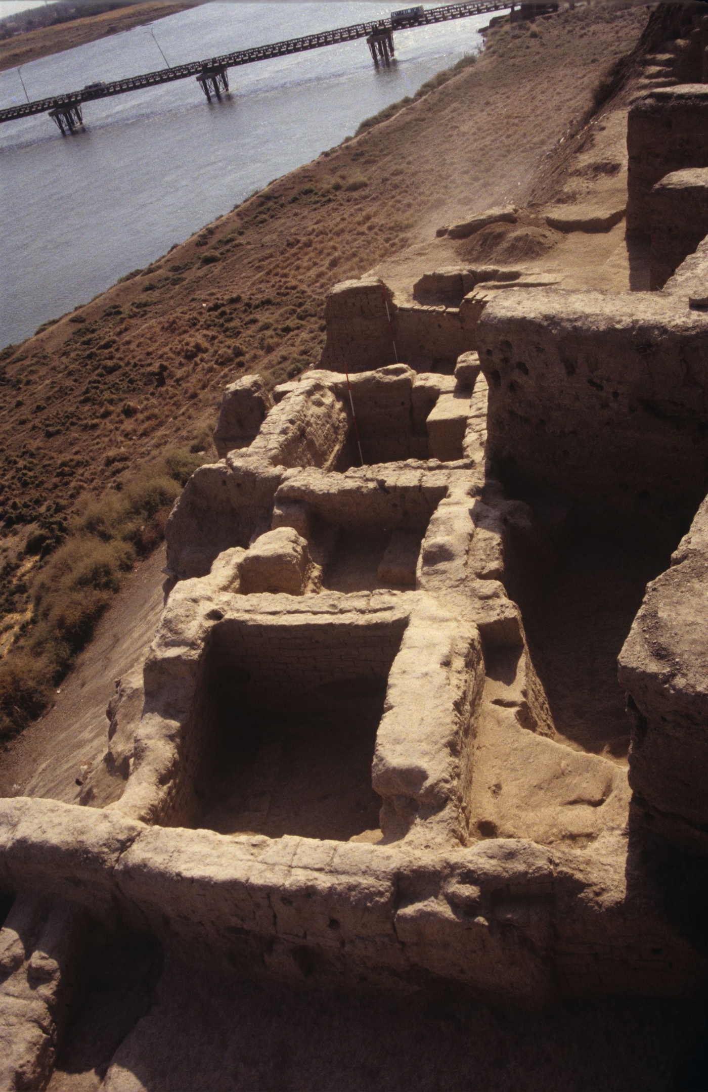
In Tell Masaïkh, the oldest archaeological levels correspond to Prehistoric occupations, from the Halaf and Obeid period (5th–4th millennium), followed, after a long period of abandonment, by Middle Bronze II - III (2nd millennium BCE), contemporary with those of Terqa. However, the excavations revealed that the site assumed great importance in the region during Iron II-III (9th–7th century BCE) when a colony from the Assyrian empire settled here, called “Kar-Ashurnasirpal", the “Port of Ashurnasirpal", after its founder king, to control traffic along the Euphrates and the region as a whole, which was then crossed by trading routes from the Arabian markets. Research in the vicinity of the site revealed that in the early 8th century, the Assyrian authorities began building a large canal there, parallel to the Euphrates, the line of which has been identified over a distance of almost 100 km. Useful for transport purposes and irrigation, the canal marked and shifted the balance of power in the region. A study of the architecture of the “royal" palace of the colony has revealed how the elites, in contact with local society, gradually sought greater autonomy from the Assyrian empire, to the point of provoking a response: the destruction of the noble districts. The colony returned under the direct control of the metropolis, until the collapse of the empire (6th century BCE). The region was then almost abandoned, and a rural occupation appeared on the site only in the Romano-Parthian period (2nd–3rd century BCE), and finally the early Islamic period (10th–12th centuries), separated by long periods when the site was abandoned.
The city of Terqa / Ashara
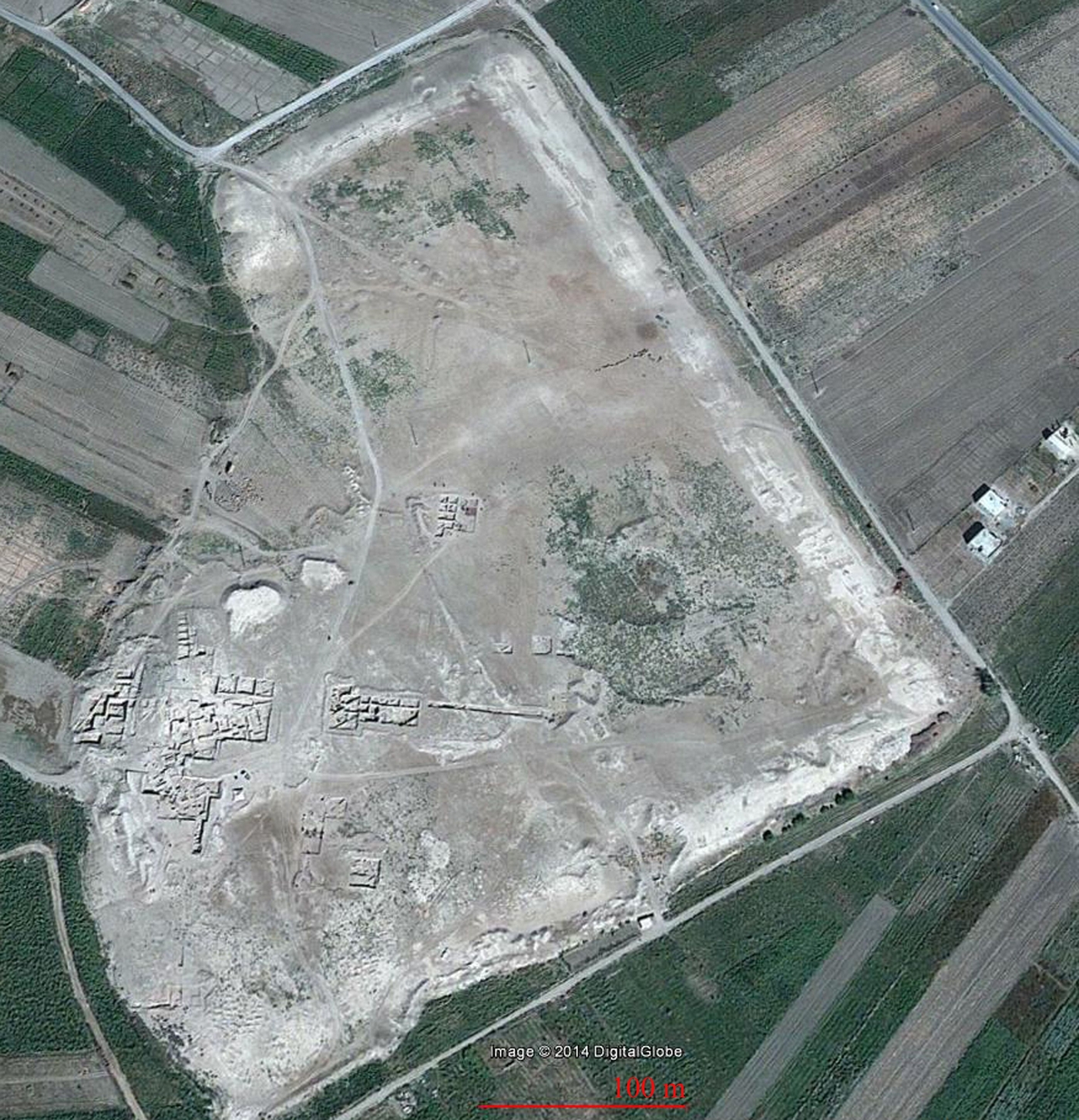
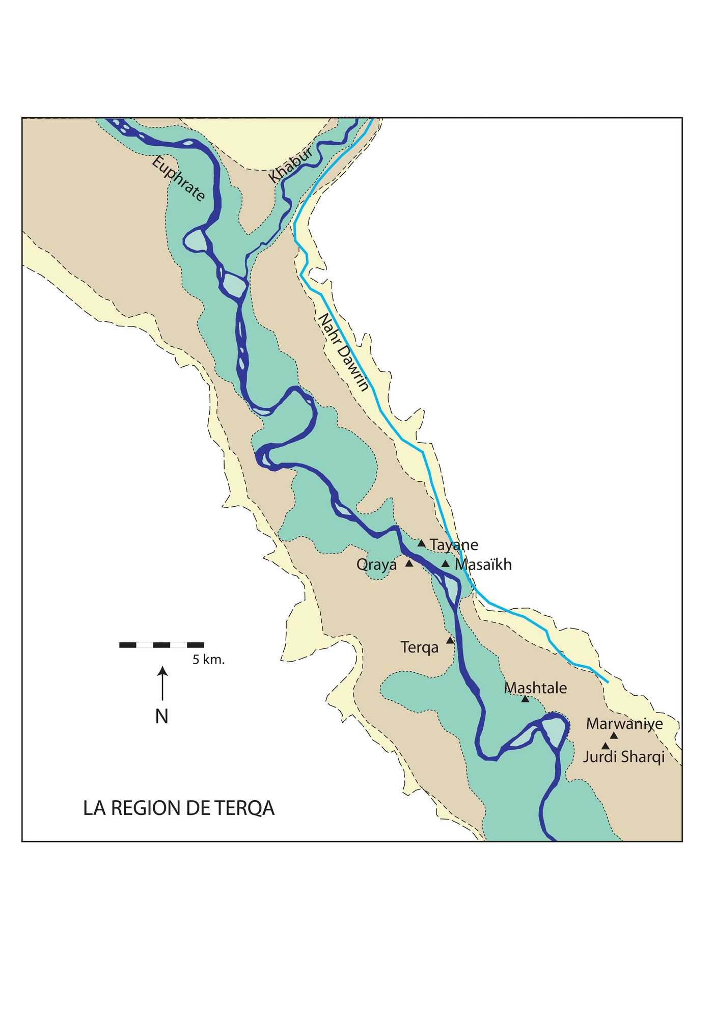
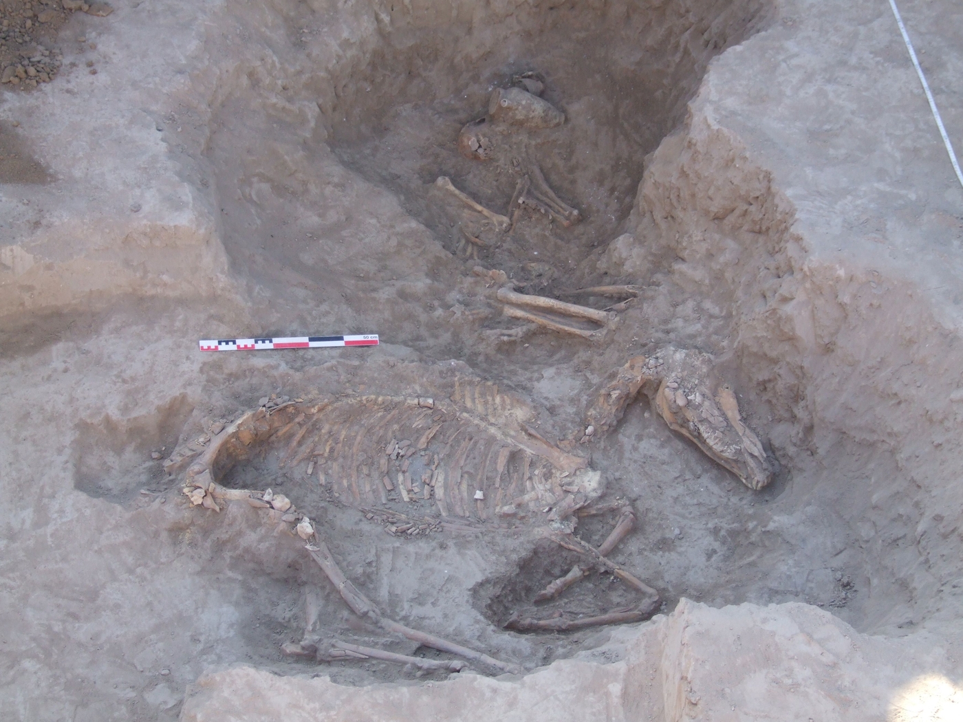
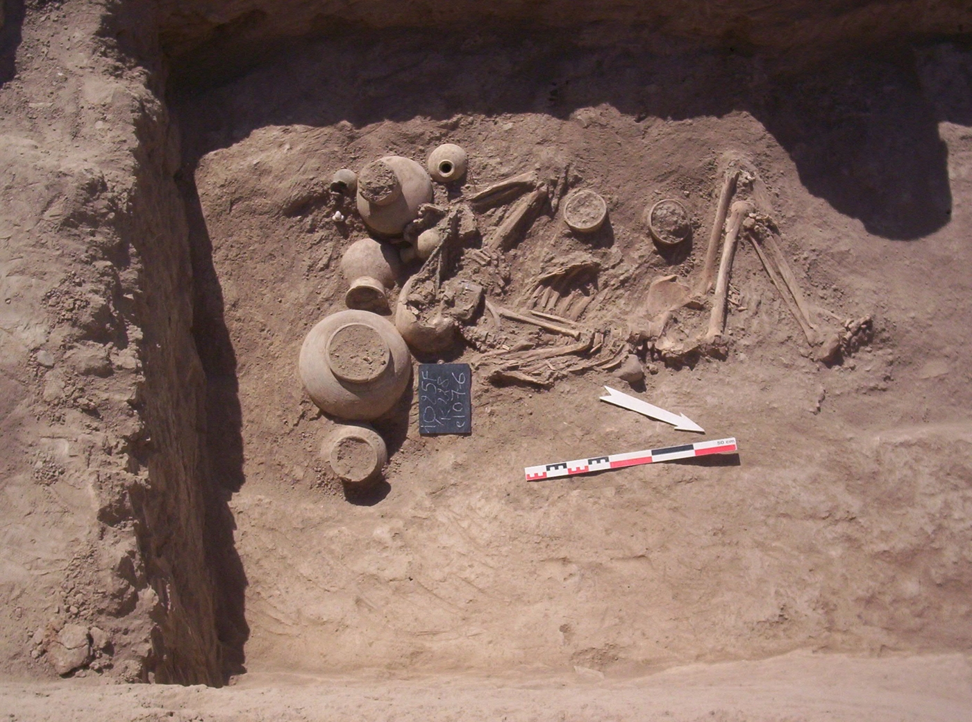
The excavations in Terqa revealed the remains of an occupation on the west bank of the Euphrates in the early 3rd millennium BCE, one of the first cities in the region, contemporary with its neighbour, the larger and more famous city of Mari. From the start of the 2nd millennium, the region was governed by Amorite kings, and its culture influenced by steppe traditions. Following the destruction of Mari by the Babylonians around the early 2nd millennium, Terqa became the capital of the “kingdom of Khana", a royal residence until the mid-2nd millennium. After a prolonged crisis, the city once again became the centre of a political confederation when the region was reorganised by the local “Aramean" populations in the early 1st millennium BCE. The arrival of the armies of the Assyrian empire, centred along the Tigris (9th century BCE) brought an end to their autonomy. The surveys and test pits made on the sites of Jebel Mashtale, Tell Marwaniye, Tell Jurdi Sharqi and Bir el-Haddad, recorded, for the first time, the history of this region during the Late Bronze Age and Iron Age (mid-2nd–mid-1st millennium BCE), revealing the presence and the influence on local cultures of both the southern and the northern powers, Babylon and Assyria.
Surveys in the lower valley of the Syrian Middle Euphrates
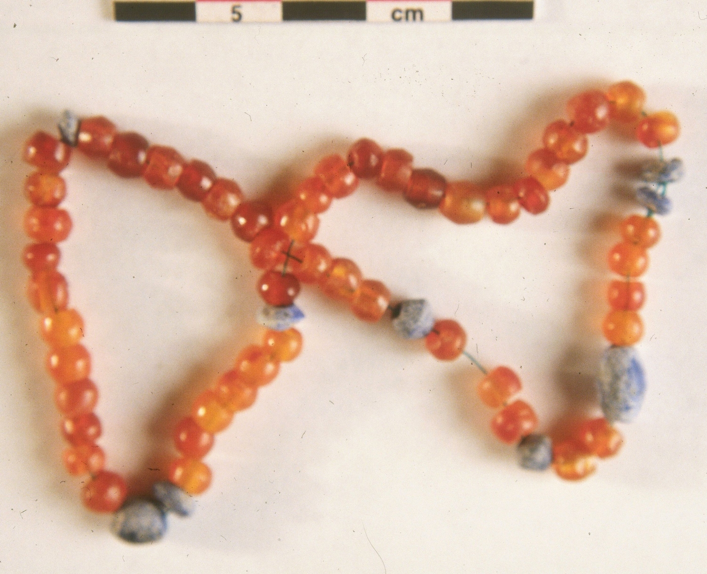
The partnerships formed with various French and European institutions, and above all with the Department of Antiquities of Syria, made it possible to carry out a complete programme of excavations, surveys and test pits, analyses and studies of archaeological, archaeobiological and archaeometric materials, and the study of the vast epigraphic record and cuneiform tablets, which are still underway. These works and subsequent publications will bring together data useful to reconstruct the history of this region, the needs of which, associated with its demographic and economic development — and now their destruction in the war — risk erasing the remains and the memory of the past. A special effort has been made in recent years, with the setting up of a digital database for sharing the records and information gathered within the framework of this project, with other researchers, and in particular with Syrian colleagues.
The "Tell Masaïkh / Terqa and its Region project" French-Syrian mission
The city of Terqa, on the west bank of the Euphrates, identified in 1914 thanks to cuneiform tablets discovered in Ashara (Syria), was excavated from 1975 by American archaeologists and then from 1987 by a French team led by Olivier Rouault (Université Lyon2). This research was extended in 1996 to the surrounding region. Other sites, like Tell Masaïkh, Jebel Mashtale and Marwaniye were identified and studied on the left bank of the Euphrates, and Bir-el-Haddad further to the north on the steppe. The excavation programme on the Tell Masaïkh site, led by Maria Grazia Masetti-Rouault (EPHE PSL) became autonomous in 2004. Since 2009, all permits related to this research were bundled together, leading to the implementation of a Franco-Syrian mission: “Tell Masaïkh/ Terqa and its Region project". The final field missions took place in the autumn of 2010. The project continues to produce research and publications. Although damaged, the sites have not been destroyed.


