Andean roads between Altiplano and the Pacific
The Andes cordillera forms a vast and varied geographic space where mobility between the coastal deserts, mountains and the high plateaus has always been a key factor in the social organisation, economy and culture of the people who have lived here.
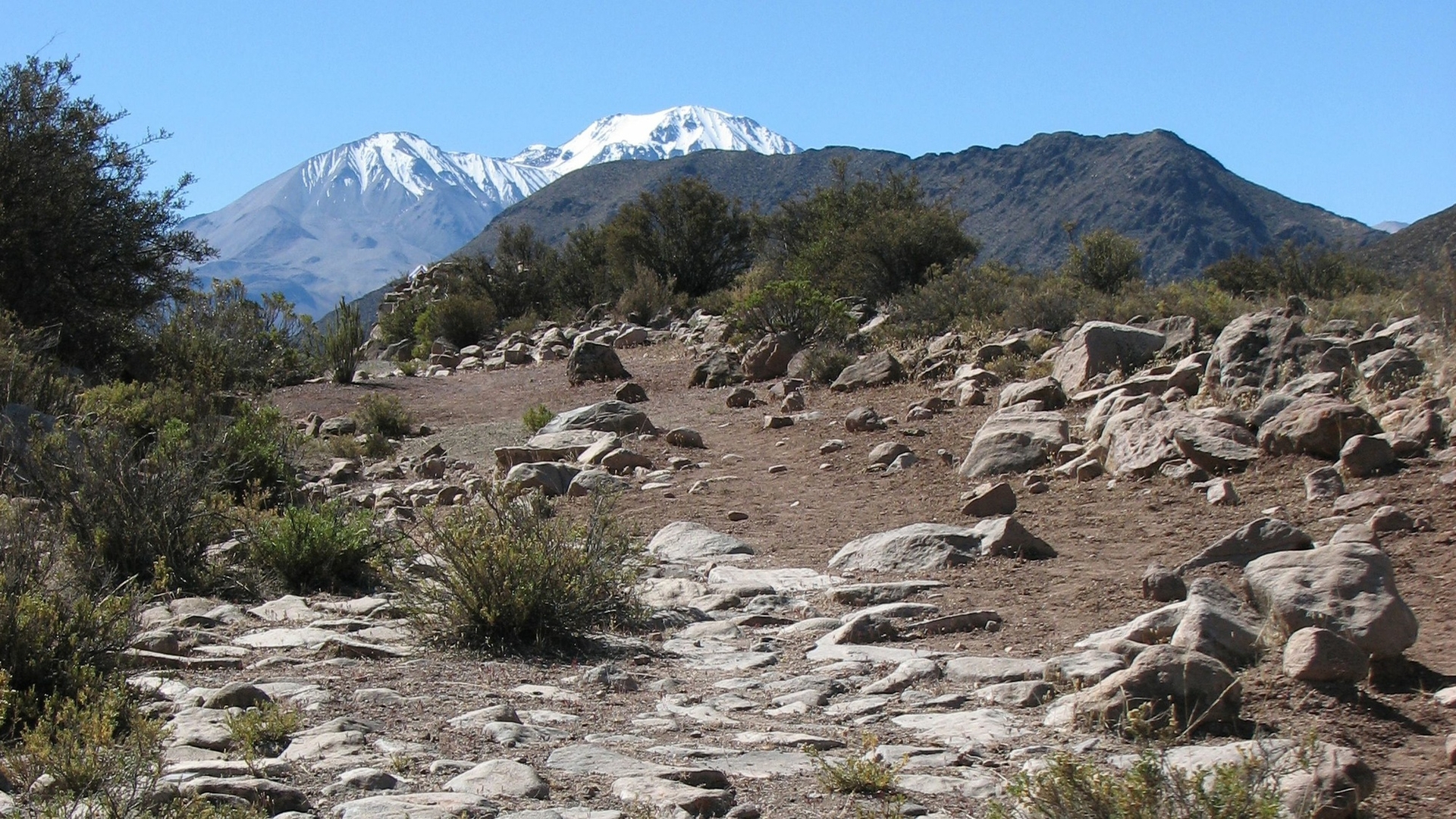
The study of ancient road networks and their transformation over time therefore provides a key indicator for understanding the history of territories and mobility practices across the Andes. The Redes Andinas programme carries out archaeological and geographic studies of ancient networks of settlements and road systems that stretch between the Pacific coast of Arica and the Altiplano of Carangas (4,000 m). It seeks to explain their transformation from the time of the Incas (15th century) to the Latin-American republics of the 19th century.
Road palimpsests
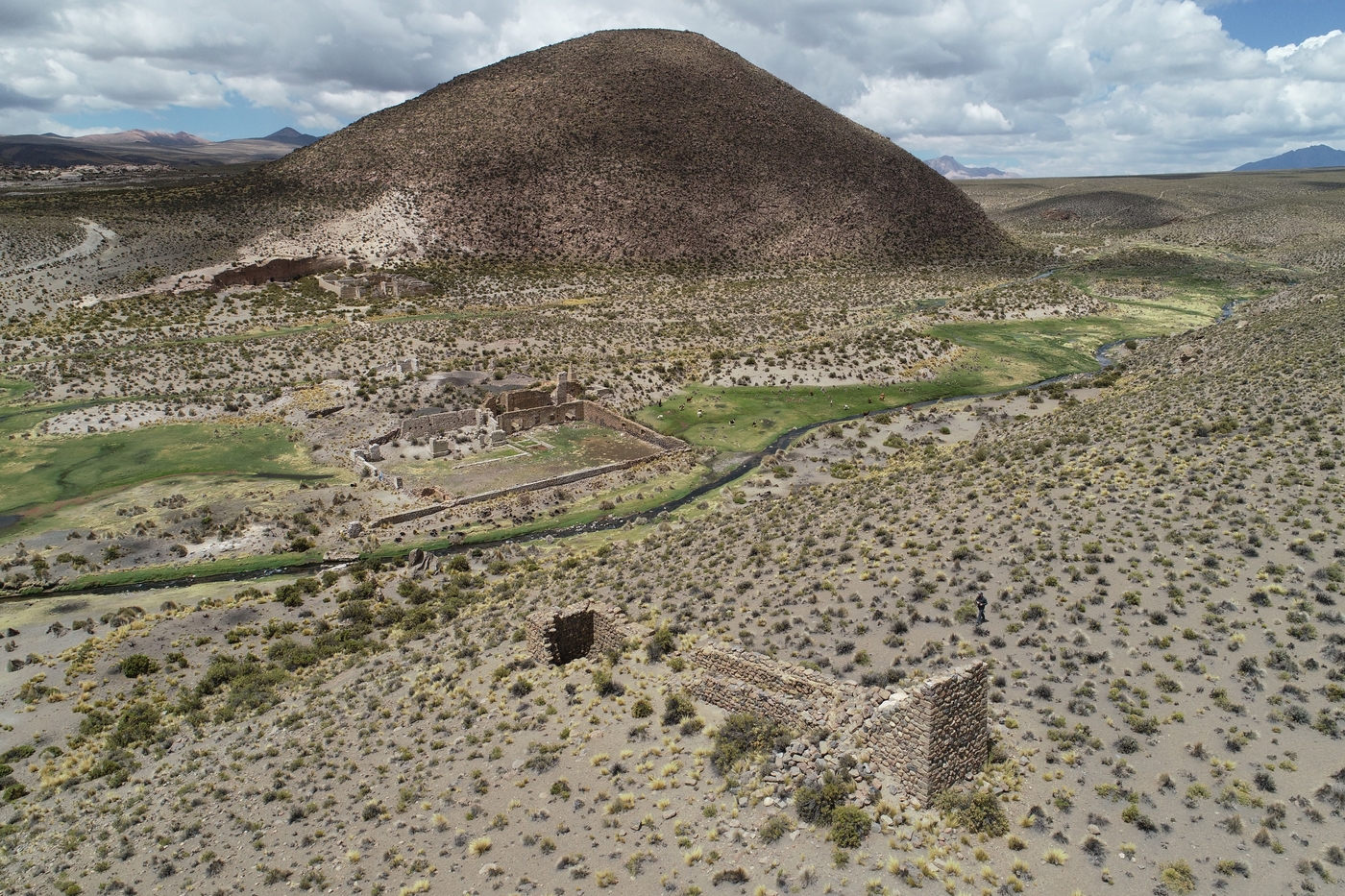
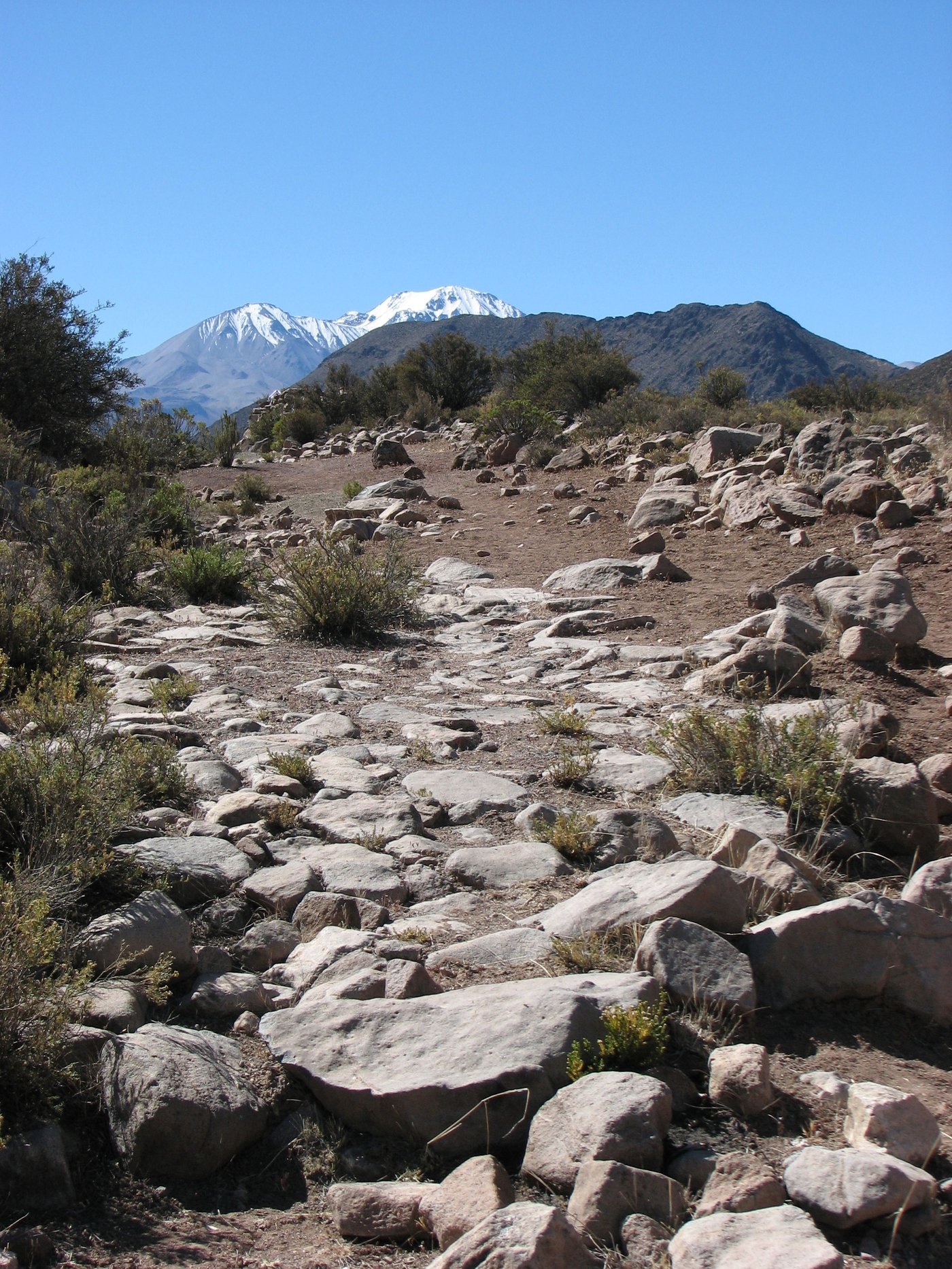
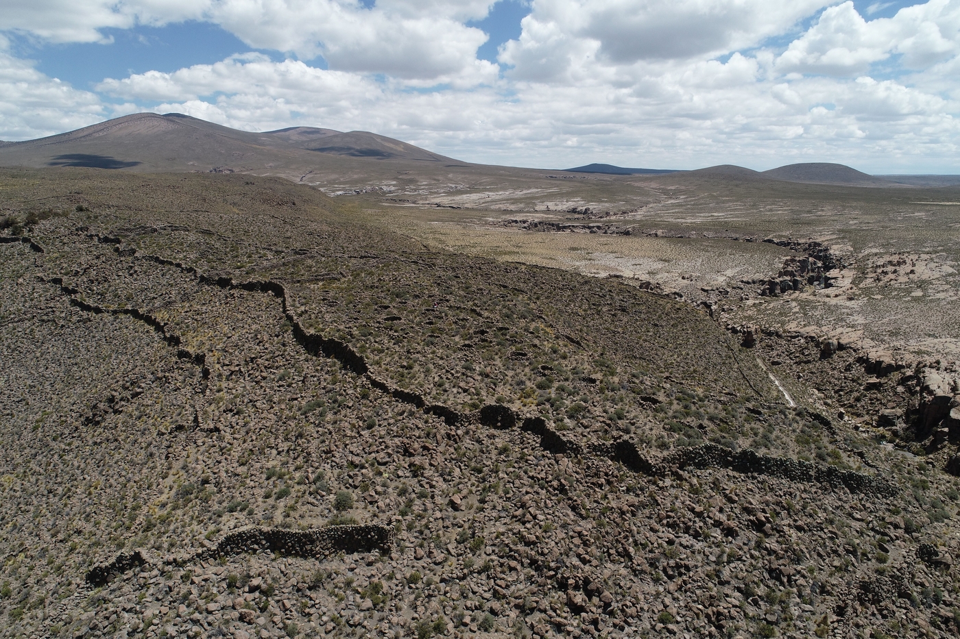
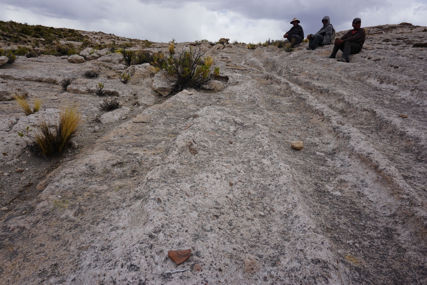
Most of the infrastructure and the remains of transport systems have survived in these remote deserts and mountain regions, even long after they were abandoned. Seen from above, thousands of roads intersect across the arid valleys and high plateaus, like a palimpsest created by the accumulation of road systems at different points in time. The road systems dating from the Inca empire are intertwined here with the colonial Potosi silver road and the roads used by camelid breeders to move around the local area and region.
By combining the study of the ancient maps with satellite imagery remote sensing, and field walking surveys, Redes Andinas is producing an archaeological map of this palimpsest of roads in order to determine the morphology of systems dating from different periods and to explain their transformation over time.
Archipelagos
The first written archives and the colonial censuses taken in the 16th century describe the settlement of the Arica-Carangas Andean transect as composed of interwoven territories scattered at irregular intervals between the Pacific and the Altiplano. This archipelago territorial model, shaped by the vertical ecology of the Andes cordillera, was already widespread before the Spanish conquest and often lasted through the colonial period, despite institutional reform.
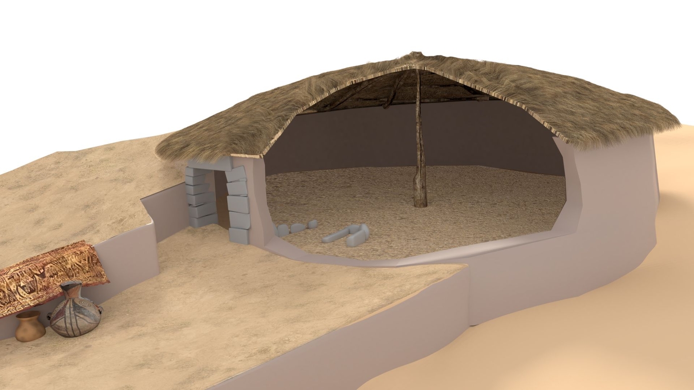
Given the exceptional state of conservation of the hundreds of former habitat sites dating from the late pre-Hispanic period between Arica and Carangas, it is possible to reproduce the structure of these ancient settlement systems and the complexity of the cultural dynamics arising from the coexistence of multiple ethnic groups within these interlocking territories.
Based on the diachronic analysis of the forms of macroregional settlement and the analysis of the sociospatial organisation of the main pre-Hispanic agglomerations, in addition to the excavation of habitations, Redes Andinas is revealing the complexity of the Andean archipelagos and their transformation from the pre-Hispanic period to the present day.
Crossborder heritage
Although the imposition of a permanent international border in the 20th century probably slowed population movements between Altiplano and the Pacific, the Arica–Carangas transect remains regionally coherent in terms of its culture and settlement systems.
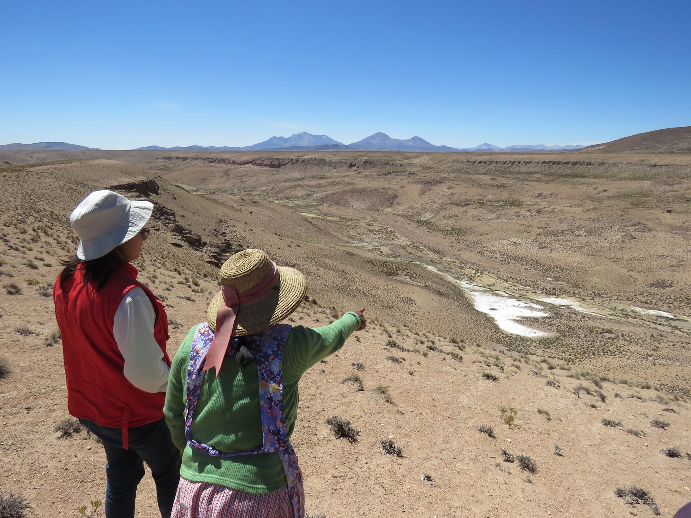
Human communities often have residences on both sides of the border and their daily routes frequently follow cross-border trails and pathways. For them, the history of mobility along the old routes, and of multi-site territoriality between the Pacific and the Altiplano is extremely significant in terms of cultural heritage.
In conjunction with these communities, the research programme is developing an ethnoarchaeological approach to pedestrian mobility practices, and heritage workshops to discuss the current significance of old tambos (road waystations similar to caravanserais) and sections of abandoned trails.
Project supported by the French Ministry for Europe and Foreign Affairs on the advice of the Excavation Committee (Commission des fouilles).


